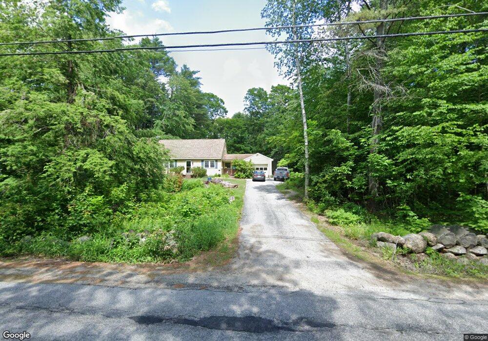
99 Bog Rd Hillsborough, NH 03244
Hillsboro NeighborhoodEstimated Value: $417,000 - $456,000
3
Beds
2
Baths
2,679
Sq Ft
$161/Sq Ft
Est. Value
About This Home
This home is located at 99 Bog Rd, Hillsborough, NH 03244 and is currently estimated at $431,993, approximately $161 per square foot. 99 Bog Rd is a home located in Hillsborough County with nearby schools including Hillsboro-Deering Elementary School and Hillsboro-Deering High School.
Ownership History
Date
Name
Owned For
Owner Type
Purchase Details
Closed on
Oct 21, 1998
Sold by
Penalis Robert A and Penalis Linda K
Bought by
Marin Eugene P and Marin Yvonne A
Current Estimated Value
Home Financials for this Owner
Home Financials are based on the most recent Mortgage that was taken out on this home.
Original Mortgage
$113,906
Interest Rate
6.74%
Mortgage Type
Purchase Money Mortgage
Create a Home Valuation Report for This Property
The Home Valuation Report is an in-depth analysis detailing your home's value as well as a comparison with similar homes in the area
Home Values in the Area
Average Home Value in this Area
Purchase History
| Date | Buyer | Sale Price | Title Company |
|---|---|---|---|
| Marin Eugene P | $114,000 | -- |
Source: Public Records
Mortgage History
| Date | Status | Borrower | Loan Amount |
|---|---|---|---|
| Open | Marin Eugene P | $182,000 | |
| Closed | Marin Eugene P | $113,906 |
Source: Public Records
Tax History Compared to Growth
Tax History
| Year | Tax Paid | Tax Assessment Tax Assessment Total Assessment is a certain percentage of the fair market value that is determined by local assessors to be the total taxable value of land and additions on the property. | Land | Improvement |
|---|---|---|---|---|
| 2024 | $7,751 | $231,800 | $60,000 | $171,800 |
| 2023 | $7,237 | $231,800 | $60,000 | $171,800 |
| 2022 | $6,187 | $231,800 | $60,000 | $171,800 |
| 2021 | $6,704 | $231,800 | $60,000 | $171,800 |
| 2020 | $5,962 | $231,800 | $60,000 | $171,800 |
| 2018 | $6,062 | $205,500 | $50,000 | $155,500 |
| 2017 | $6,262 | $205,500 | $50,000 | $155,500 |
| 2016 | $5,978 | $202,500 | $45,000 | $157,500 |
| 2015 | $5,883 | $202,500 | $45,000 | $157,500 |
| 2014 | $5,581 | $202,500 | $45,000 | $157,500 |
| 2013 | $5,682 | $202,500 | $45,000 | $157,500 |
Source: Public Records
Map
Nearby Homes
- 0 Red Fox Crossing Unit 34 4858470
- 0 Raccoon Alley Unit 86 4855473
- 24 Raccoon Alley
- 28 Merrill Rd
- 32-33 Red Fox Crossing
- 0 Midnight Walk Unit 264 4914126
- 17 Gould Pond Rd
- 0 Huntington Dr Unit 373 4855140
- 0 Huntington Dr Unit 307 4855146
- Lot 265 Midnight Walk
- 19 Boulder Pass
- 0 Dawn St Unit 79 4854584
- 0 Bobolink Ln Unit 120 4858469
- 10 Melody Ln
- 32 Deerpoint Dr
- 0 Kings Row Unit 151 4855040
- 98 Emerald Dr
- 6 Birch Tree Ln
- 44 Huntington Dr
- 17 Autumn Rd