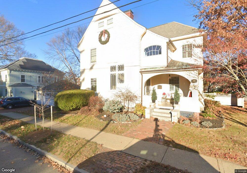
99 Broad St Portsmouth, NH 03801
Estimated Value: $1,958,000 - $2,583,000
4
Beds
4
Baths
3,539
Sq Ft
$642/Sq Ft
Est. Value
About This Home
This home is located at 99 Broad St, Portsmouth, NH 03801 and is currently estimated at $2,272,013, approximately $641 per square foot. 99 Broad St is a home located in Rockingham County with nearby schools including Little Harbour School, Portsmouth Middle School, and Portsmouth High School.
Ownership History
Date
Name
Owned For
Owner Type
Purchase Details
Closed on
Oct 6, 2011
Sold by
Dedeus James S and Dedeus Kimberly H
Bought by
Peelman Aaron D and Peelman Jessica H
Current Estimated Value
Home Financials for this Owner
Home Financials are based on the most recent Mortgage that was taken out on this home.
Original Mortgage
$840,750
Outstanding Balance
$576,182
Interest Rate
4.2%
Mortgage Type
Purchase Money Mortgage
Estimated Equity
$1,695,831
Purchase Details
Closed on
Sep 16, 2005
Sold by
Hart John B
Bought by
Dedeus James S and Dedeus Kimberly H
Home Financials for this Owner
Home Financials are based on the most recent Mortgage that was taken out on this home.
Original Mortgage
$544,000
Interest Rate
5.84%
Mortgage Type
Purchase Money Mortgage
Create a Home Valuation Report for This Property
The Home Valuation Report is an in-depth analysis detailing your home's value as well as a comparison with similar homes in the area
Home Values in the Area
Average Home Value in this Area
Purchase History
| Date | Buyer | Sale Price | Title Company |
|---|---|---|---|
| Peelman Aaron D | $885,000 | -- | |
| Dedeus James S | $680,000 | -- |
Source: Public Records
Mortgage History
| Date | Status | Borrower | Loan Amount |
|---|---|---|---|
| Open | Dedeus James S | $840,750 | |
| Previous Owner | Dedeus James S | $68,400 | |
| Previous Owner | Dedeus James S | $750,000 | |
| Previous Owner | Dedeus James S | $544,000 |
Source: Public Records
Tax History Compared to Growth
Tax History
| Year | Tax Paid | Tax Assessment Tax Assessment Total Assessment is a certain percentage of the fair market value that is determined by local assessors to be the total taxable value of land and additions on the property. | Land | Improvement |
|---|---|---|---|---|
| 2024 | $24,219 | $2,166,300 | $681,500 | $1,484,800 |
| 2023 | $19,480 | $1,207,700 | $405,800 | $801,900 |
| 2022 | $18,357 | $1,207,700 | $405,800 | $801,900 |
| 2021 | $18,152 | $1,207,700 | $405,800 | $801,900 |
| 2020 | $17,778 | $1,209,400 | $405,800 | $803,600 |
| 2019 | $17,673 | $1,189,300 | $405,800 | $783,500 |
| 2018 | $16,965 | $1,071,000 | $368,800 | $702,200 |
| 2017 | $16,520 | $1,074,100 | $368,800 | $705,300 |
| 2016 | $15,977 | $937,600 | $307,200 | $630,400 |
| 2015 | $15,742 | $937,600 | $307,200 | $630,400 |
| 2014 | $14,855 | $820,700 | $253,800 | $566,900 |
| 2013 | $14,860 | $829,700 | $253,800 | $575,900 |
| 2012 | $14,674 | $836,100 | $253,800 | $582,300 |
Source: Public Records
Map
Nearby Homes
- 34 Highland St
- 161 Wibird St
- 21 Madison St
- 5 Old Parish Way
- 238 Austin St
- 198 Islington St Unit 6
- 115 Court St
- 4 Rock St Unit B
- 490 Islington St Unit 1
- 219 Sagamore Ave
- 210 South St
- 51 Islington St Unit 406
- 320 Thaxter Rd
- 199 Mcdonough St
- 92 Brewster St
- 332 Hanover St
- 90 Fleet St Unit 4-5
- 97 Middle Rd
- 99 Foundry Place Unit 106
- 99 Foundry Place Unit 408
- 245 Highland St
- 300 Rockland St
- 282 Rockland St
- 238 Highland St
- 228 Highland St
- 272 Rockland St
- 208 Highland St
- 272 Highland St
- 186 Miller Ave
- 202 Highland St
- 69 Broad St
- 293 Rockland St
- 264 Rockland St Unit 3
- 264 Rockland St Unit 2
- 264 Rockland St Unit 1
- 124 Broad St
- 355 Lincoln Ave
- 212 Miller Ave Unit 6
- 212 Miller Ave Unit 5
- 212 Miller Ave Unit 3