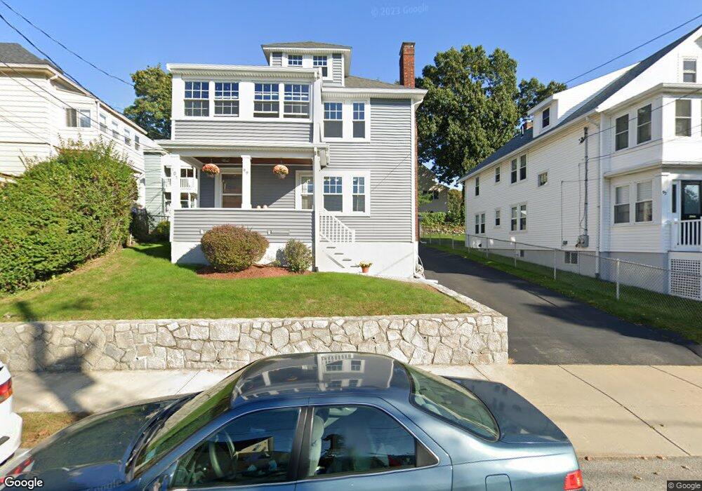
99 Carroll St Watertown, MA 02472
West Watertown NeighborhoodEstimated Value: $1,081,000 - $1,227,454
4
Beds
2
Baths
2,250
Sq Ft
$510/Sq Ft
Est. Value
About This Home
This home is located at 99 Carroll St, Watertown, MA 02472 and is currently estimated at $1,147,114, approximately $509 per square foot. 99 Carroll St is a home located in Middlesex County with nearby schools including The Kendall School and Beacon High School.
Ownership History
Date
Name
Owned For
Owner Type
Purchase Details
Closed on
Apr 29, 2021
Sold by
Gobron Ft and Nisbet
Bought by
Nisbet Jeanne
Current Estimated Value
Purchase Details
Closed on
Nov 6, 2017
Sold by
Gobron Arthur F
Bought by
Gobron Ft and Nisbet
Purchase Details
Closed on
Apr 26, 2013
Sold by
Nestor John T Est and Gobron
Bought by
Gobron Arthur F and Gobron Marie A
Purchase Details
Closed on
Apr 29, 1991
Sold by
Nestor James and Nestor Brian
Bought by
Gobron Marie C and Gobron Arthur F
Create a Home Valuation Report for This Property
The Home Valuation Report is an in-depth analysis detailing your home's value as well as a comparison with similar homes in the area
Home Values in the Area
Average Home Value in this Area
Purchase History
| Date | Buyer | Sale Price | Title Company |
|---|---|---|---|
| Nisbet Jeanne | -- | None Available | |
| Nisbet Jeanne | -- | None Available | |
| Nisbet Jeanne | -- | None Available | |
| Gobron Ft | -- | -- | |
| Gobron Ft | -- | -- | |
| Gobron Ft | -- | -- | |
| Gobron Arthur F | -- | -- | |
| Gobron Arthur F | -- | -- | |
| Gobron Arthur F | -- | -- | |
| Gobron Arthur F | -- | -- | |
| Gobron Marie C | $40,250 | -- | |
| Gobron Marie C | $40,250 | -- |
Source: Public Records
Tax History Compared to Growth
Tax History
| Year | Tax Paid | Tax Assessment Tax Assessment Total Assessment is a certain percentage of the fair market value that is determined by local assessors to be the total taxable value of land and additions on the property. | Land | Improvement |
|---|---|---|---|---|
| 2025 | $11,984 | $1,026,000 | $523,200 | $502,800 |
| 2024 | $10,883 | $930,200 | $509,400 | $420,800 |
| 2023 | $12,271 | $903,600 | $487,200 | $416,400 |
| 2022 | $11,388 | $859,500 | $442,900 | $416,600 |
| 2021 | $10,190 | $831,800 | $428,200 | $403,600 |
| 2020 | $9,826 | $809,400 | $413,400 | $396,000 |
| 2019 | $9,525 | $739,500 | $413,400 | $326,100 |
| 2018 | $9,020 | $669,600 | $383,900 | $285,700 |
| 2017 | $8,634 | $621,600 | $335,900 | $285,700 |
| 2016 | $8,250 | $603,100 | $317,400 | $285,700 |
| 2015 | $7,498 | $498,900 | $280,500 | $218,400 |
| 2014 | $7,188 | $480,500 | $262,100 | $218,400 |
Source: Public Records
Map
Nearby Homes
- 748 Belmont St
- 98 Carroll St Unit 98
- 18 Wilson Ave Unit 2
- 26 Ridge Rd
- 88 Bartlett Ave
- 103 Harnden Ave Unit 103
- 50 Carroll St Unit 50
- 121 Channing Rd
- 289 Waverley Ave Unit 2
- 2 Bartlett Ave Unit 1
- 46 Hall Ave Unit 2
- 6 Hovey St
- 17 Ripley Rd
- 28 Whitney St
- 88 Palfrey Rd Unit 88
- 30 Merrill Rd
- 5 Mason Rd
- 99 Beech St
- 91 Standish Rd
- 59-61 Gilbert Rd
- 95 Carroll St
- 750 Belmont St Unit 2
- 750 Belmont St Unit 1
- 750 Belmont St
- 91 Carroll St Unit 93
- 91-93 Carroll St Unit 91
- 91-93 Carroll St Unit 93
- 91-93 Carroll St
- 13 York Ave
- 744 Belmont St Unit 744
- 742 Belmont St
- 11 York Ave Unit 11
- 9 York Ave
- 9 York Ave Unit 9
- 9 York Ave Unit 11
- 760 Belmont St
- 762 Belmont St Unit 762
- 17 York Ave
- 15 York Ave Unit 15
- 98 Carroll St