Estimated Value: $407,000 - $444,000
3
Beds
2
Baths
1,659
Sq Ft
$253/Sq Ft
Est. Value
About This Home
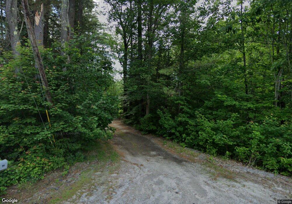
This home is located at 99 Center Rd, Weare, NH 03281 and is currently estimated at $420,312, approximately $253 per square foot. 99 Center Rd is a home with nearby schools including Center Woods Elementary School, Weare Middle School, and John Stark Regional High School.
Create a Home Valuation Report for This Property
The Home Valuation Report is an in-depth analysis detailing your home's value as well as a comparison with similar homes in the area
Home Values in the Area
Average Home Value in this Area
Tax History Compared to Growth
Tax History
| Year | Tax Paid | Tax Assessment Tax Assessment Total Assessment is a certain percentage of the fair market value that is determined by local assessors to be the total taxable value of land and additions on the property. | Land | Improvement |
|---|---|---|---|---|
| 2024 | $5,103 | $250,264 | $96,664 | $153,600 |
| 2023 | $4,726 | $250,859 | $97,159 | $153,700 |
| 2022 | $4,365 | $250,859 | $97,159 | $153,700 |
| 2021 | $4,315 | $250,878 | $97,178 | $153,700 |
| 2020 | $4,642 | $193,829 | $74,529 | $119,300 |
| 2019 | $4,596 | $193,829 | $74,529 | $119,300 |
| 2018 | $4,287 | $186,127 | $74,627 | $111,500 |
| 2016 | $4,166 | $186,221 | $74,721 | $111,500 |
| 2015 | $4,045 | $180,493 | $71,293 | $109,200 |
| 2014 | $4,010 | $180,556 | $71,356 | $109,200 |
| 2013 | $3,883 | $178,546 | $75,346 | $103,200 |
Source: Public Records
Map
Nearby Homes
- 92 Woodbury Rd
- 10 Sap House Rd
- 281 Hodgdon Rd
- 30 Dels Way
- 62 Collins Landing Rd Unit 46
- 194 Buckley Rd Unit 2
- 194 Buckley Rd Unit 44
- 107 Branch Rd
- 732 Concord Stage Rd Unit 5
- 0 Huntington Hill Rd Unit 69
- 0 Als Dr Unit 196
- 463 Craney Hill Rd
- 57 Lyndsey Ln
- 849 River Rd
- 11 White Birch Rd
- Lot 13 E Deering Rd
- 586 C-4 Craney Hill Rd
- 196 Deering Center Rd
- 624 S Stark Hwy
- 40 N Woods Rd