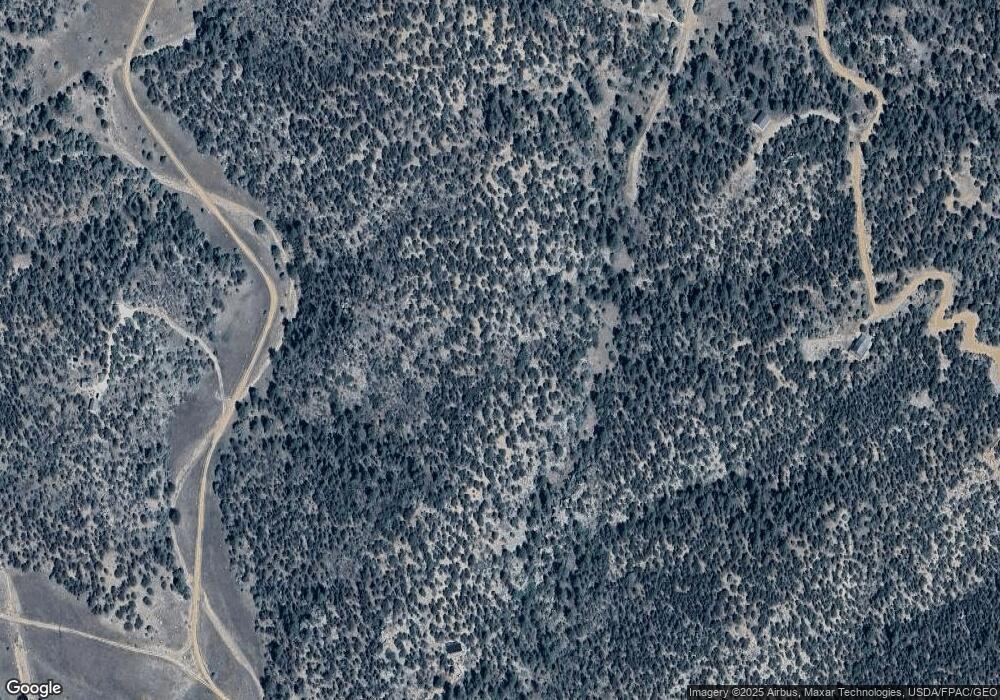
99 Dead Log Ln Unit 461 Cotopaxi, CO 81223
Estimated Value: $32,528 - $48,000
Studio
--
Bath
--
Sq Ft
5.63
Acres
About This Home
This home is located at 99 Dead Log Ln Unit 461, Cotopaxi, CO 81223 and is currently estimated at $40,509. 99 Dead Log Ln Unit 461 is a home located in Fremont County with nearby schools including Cotopaxi Elementary School and Cotopaxi Junior/Senior High School.
Ownership History
Date
Name
Owned For
Owner Type
Purchase Details
Closed on
Dec 7, 2023
Sold by
Shimon Clint
Bought by
Shimon James
Current Estimated Value
Purchase Details
Closed on
May 19, 2022
Sold by
Land Hunter Group Llc
Bought by
Shimon Clint
Home Financials for this Owner
Home Financials are based on the most recent Mortgage that was taken out on this home.
Original Mortgage
$29,700
Interest Rate
3.91%
Mortgage Type
New Conventional
Purchase Details
Closed on
Feb 28, 2022
Sold by
Himber Vickie L
Bought by
Land Hunter Group Llc
Purchase Details
Closed on
Feb 28, 2017
Sold by
Cowell Deborah Lynn
Bought by
Himber Vickie L
Create a Home Valuation Report for This Property
The Home Valuation Report is an in-depth analysis detailing your home's value as well as a comparison with similar homes in the area
Purchase History
| Date | Buyer | Sale Price | Title Company |
|---|---|---|---|
| Shimon James | -- | None Listed On Document | |
| Shimon Clint | $33,000 | None Listed On Document | |
| Land Hunter Group Llc | $16,000 | None Listed On Document | |
| Himber Vickie L | -- | None Available |
Source: Public Records
Mortgage History
| Date | Status | Borrower | Loan Amount |
|---|---|---|---|
| Previous Owner | Shimon Clint | $29,700 |
Source: Public Records
Tax History Compared to Growth
Tax History
| Year | Tax Paid | Tax Assessment Tax Assessment Total Assessment is a certain percentage of the fair market value that is determined by local assessors to be the total taxable value of land and additions on the property. | Land | Improvement |
|---|---|---|---|---|
| 2024 | $431 | $10,053 | $10,053 | $0 |
| 2023 | $431 | $8,796 | $8,796 | $0 |
| 2022 | $284 | $6,041 | $6,041 | $0 |
| 2021 | $277 | $6,041 | $6,041 | $0 |
| 2020 | $272 | $6,041 | $6,041 | $0 |
| 2019 | $272 | $6,041 | $6,041 | $0 |
| 2018 | $184 | $4,082 | $0 | $0 |
| 2017 | $184 | $4,082 | $0 | $0 |
| 2016 | $103 | $2,290 | $0 | $0 |
| 2015 | $103 | $2,290 | $0 | $0 |
| 2012 | $95 | $2,286 | $2,286 | $0 |
Source: Public Records
Map
Nearby Homes
- 176 Arnold Dr
- 69 Coyote Run Rd
- 1314 Arnold Dr
- 1314 Arnold Dr Unit 545
- 876 Coyote Unit 8
- 129 Cedar Ln
- 0 Tbd Iron Mountain Wilderness Rd Unit 4146154
- 134 Knight Ln
- 0 County Road 28 Unit 24376279
- 860 Texas Creek Ln
- 176 Bel Air Way
- 1048 Blazing Saddle Trail
- 547 Blazing Saddle Trail
- 0 B St Unit 25-1222
- Tbd B St
- 70 Arthur Ln
- 464 Burro Back Ct
- 395 Gibbons Trailway
- 73 Alpine Way
- 47 Bob Richards Dr
- 99 Dead Log Ln
- 110 Dead Log Ln
- 176 Arnold Dr Unit 462
- 621 Coyote Run
- 621 Kevin Dr
- 621 Kevin Dr
- 621 Kevin Dr
- 293 Arnold Dr
- 216 Arnold Dr
- 87 Arnold Dr
- 265 Kevin Dr
- 480 Kevin Dr
- 453 & 533 Kevin Dr
- 601 Kevin Dr Unit 459
- 102 Kevin Dr
- 102 Kevin Dr Unit 488
- 799 Kevin Dr
- TBD Kevin Dr Unit 58
- 708 Kevin Dr Unit 471A
- TBD Kevin Dr Unit 470
