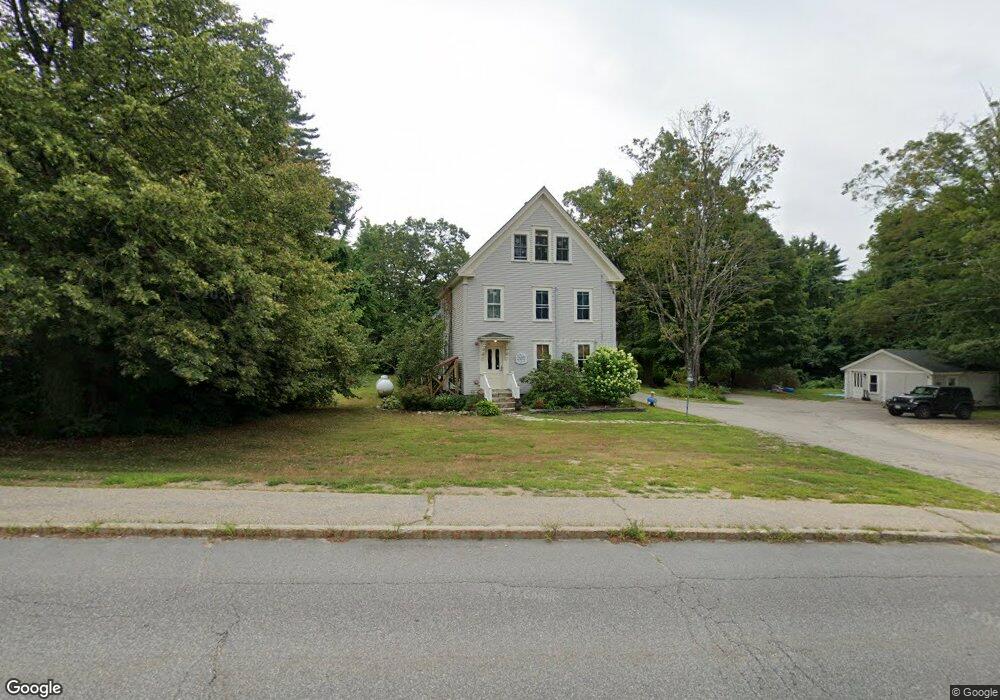
99 E Side Rd Conway, NH 03818
Estimated Value: $600,509
Studio
--
Bath
3,406
Sq Ft
$176/Sq Ft
Est. Value
About This Home
This home is located at 99 E Side Rd, Conway, NH 03818 and is currently estimated at $600,509, approximately $176 per square foot. 99 E Side Rd is a home located in Carroll County with nearby schools including A. Crosby Kennett Middle School, Kennett High School, and Robert Frost Charter School.
Ownership History
Date
Name
Owned For
Owner Type
Purchase Details
Closed on
Aug 18, 2009
Sold by
Patterson Maurice H and Patterson Andrea D
Bought by
Covered Bridge Rt
Current Estimated Value
Home Financials for this Owner
Home Financials are based on the most recent Mortgage that was taken out on this home.
Original Mortgage
$224,000
Outstanding Balance
$147,163
Interest Rate
5.36%
Mortgage Type
Commercial
Estimated Equity
$453,346
Purchase Details
Closed on
Feb 8, 2008
Sold by
Washington Mutual Bk
Bought by
Patterson Maurice H and Patterson Andrea D
Home Financials for this Owner
Home Financials are based on the most recent Mortgage that was taken out on this home.
Original Mortgage
$192,000
Interest Rate
6.2%
Mortgage Type
Commercial
Purchase Details
Closed on
Oct 22, 2007
Sold by
Halstead Richard
Bought by
Washington Mutual Bank
Create a Home Valuation Report for This Property
The Home Valuation Report is an in-depth analysis detailing your home's value as well as a comparison with similar homes in the area
Home Values in the Area
Average Home Value in this Area
Purchase History
| Date | Buyer | Sale Price | Title Company |
|---|---|---|---|
| Covered Bridge Rt | $280,000 | -- | |
| Patterson Maurice H | $240,000 | -- | |
| Washington Mutual Bank | $301,500 | -- |
Source: Public Records
Mortgage History
| Date | Status | Borrower | Loan Amount |
|---|---|---|---|
| Open | Washington Mutual Bank | $50,000 | |
| Open | Washington Mutual Bank | $224,000 | |
| Previous Owner | Washington Mutual Bank | $192,000 |
Source: Public Records
Tax History
| Year | Tax Paid | Tax Assessment Tax Assessment Total Assessment is a certain percentage of the fair market value that is determined by local assessors to be the total taxable value of land and additions on the property. | Land | Improvement |
|---|---|---|---|---|
| 2024 | -- | $773,500 | $94,200 | $679,300 |
| 2023 | -- | $773,500 | $94,200 | $679,300 |
| 2022 | $0 | $409,900 | $86,700 | $323,200 |
| 2021 | $0 | $409,900 | $86,700 | $323,200 |
| 2020 | $0 | $409,900 | $86,700 | $323,200 |
| 2019 | $0 | $394,900 | $71,700 | $323,200 |
| 2018 | $0 | $333,500 | $71,700 | $261,800 |
| 2017 | $0 | $330,500 | $71,700 | $258,800 |
| 2016 | $0 | $330,500 | $71,700 | $258,800 |
| 2015 | -- | $330,500 | $71,700 | $258,800 |
| 2014 | -- | $330,500 | $71,700 | $258,800 |
| 2013 | -- | $336,100 | $71,700 | $264,400 |
Source: Public Records
Map
Nearby Homes
- 9 E Side Rd
- 27 Firelite Rd
- 15 Trailer Ave
- 66 Lamplighter's Dr
- 74 Lamplighter's Dr
- 43 Lamplighter's Dr
- 26 Campfire St
- 196 E Main St Unit 5 (old 103)
- 215 Hillside Ave
- 357 Lamplighters Dr
- 260 E Main St
- 15 Lighthouse Ln
- 357 Lamplighters Park
- 288 Lamplighter's Dr
- 33 Longbow Dr
- 18 Woodland Grove Rd
- 6 Main St
- 54 Woodland Grove Rd
- 76 Main St
- 65 Westwind Dr
- 100 E Side Rd
- 290 E Side Rd Unit 4 & 5
- 290 E Side Rd
- 290 E Side Rd
- 290 E Side Rd Unit 1 and 2
- 328 White Mountain Hwy
- 357 White Mountain Hwy
- 7 Emery Ln
- 280 E Side Rd
- 379 White Mountain Hwy
- 38 Emery Ln
- 46 Emery Ln
- 44 Emery Ln
- 39 Emery Ln
- 0 New Hampshire 16
- 0 Nh Route 16 - White Mountain Hwy Unit 4437062
- 0 Nh Route 16 - White Mountain Hwy Unit 4255567
- 0 Nh Route 16 - White Mountain Hwy Unit 4378741
- 51 Emery Ln
- 87 Poliquin Dr
Your Personal Tour Guide
Ask me questions while you tour the home.