99 Port Side Lakemoor, IL 60051
East Lakemoor NeighborhoodEstimated Value: $63,000 - $73,000
1
Bed
1
Bath
400
Sq Ft
$171/Sq Ft
Est. Value
About This Home
This home is located at 99 Port Side, Lakemoor, IL 60051 and is currently estimated at $68,478, approximately $171 per square foot. 99 Port Side is a home located in Lake County with nearby schools including Big Hollow Primary School, Big Hollow Elementary School, and Big Hollow Middle School.
Ownership History
Date
Name
Owned For
Owner Type
Purchase Details
Closed on
Oct 17, 2019
Sold by
Peters Devorah
Bought by
Molina Mescos
Current Estimated Value
Purchase Details
Closed on
Dec 22, 2014
Sold by
Bartsch Properties Llc
Bought by
Peters Deborah E
Purchase Details
Closed on
Feb 9, 2013
Sold by
Estate Of Helen M Bartsch
Bought by
Bartsch Properties Llc
Purchase Details
Closed on
Apr 9, 1999
Sold by
Orlando Angelo J
Bought by
Orlando Angelo J and Orlando Caroline
Create a Home Valuation Report for This Property
The Home Valuation Report is an in-depth analysis detailing your home's value as well as a comparison with similar homes in the area
Home Values in the Area
Average Home Value in this Area
Purchase History
| Date | Buyer | Sale Price | Title Company |
|---|---|---|---|
| Molina Mescos | $6,500 | None Available | |
| Peters Deborah E | $2,000 | None Available | |
| Bartsch Properties Llc | -- | None Available | |
| Orlando Angelo J | -- | -- |
Source: Public Records
Tax History Compared to Growth
Tax History
| Year | Tax Paid | Tax Assessment Tax Assessment Total Assessment is a certain percentage of the fair market value that is determined by local assessors to be the total taxable value of land and additions on the property. | Land | Improvement |
|---|---|---|---|---|
| 2024 | $1,074 | $13,842 | $2,655 | $11,187 |
| 2023 | $1,061 | $11,371 | $2,500 | $8,871 |
| 2022 | $1,061 | $11,120 | $1,962 | $9,158 |
| 2021 | $1,024 | $10,481 | $1,849 | $8,632 |
| 2020 | $1,028 | $10,332 | $1,823 | $8,509 |
| 2019 | $1,008 | $9,908 | $1,748 | $8,160 |
| 2018 | $658 | $6,168 | $2,258 | $3,910 |
| 2017 | $646 | $5,701 | $2,087 | $3,614 |
| 2016 | $643 | $5,214 | $1,909 | $3,305 |
| 2015 | $629 | $4,865 | $1,781 | $3,084 |
| 2014 | $548 | $4,146 | $1,630 | $2,516 |
| 2012 | $1,045 | $4,609 | $1,698 | $2,911 |
Source: Public Records
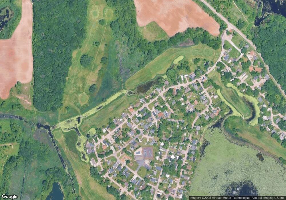
Map
Nearby Homes
- 182 Windward
- 4 Fishook Bay
- 27 Oyster Bay
- 723 Morris Ct Unit 7
- 676 Morris Ct
- 610 Wildwood Ln Unit 8066
- 336 Rosedale Dr
- 425 Northlake Rd
- 32022 Savannah Dr
- 32018 Savannah Dr
- 32403 N Mackinac Ln Unit 101
- 32016 Savannah Dr
- 32012 Savannah Dr
- 132 Rand Rd
- 0 Rand Rd
- 32006 W Savannah Dr
- 32060 Savannah Dr
- 32004 Savannah Dr
- 32111 N Great Plaines Ave
- 32108 N Rockwell Dr