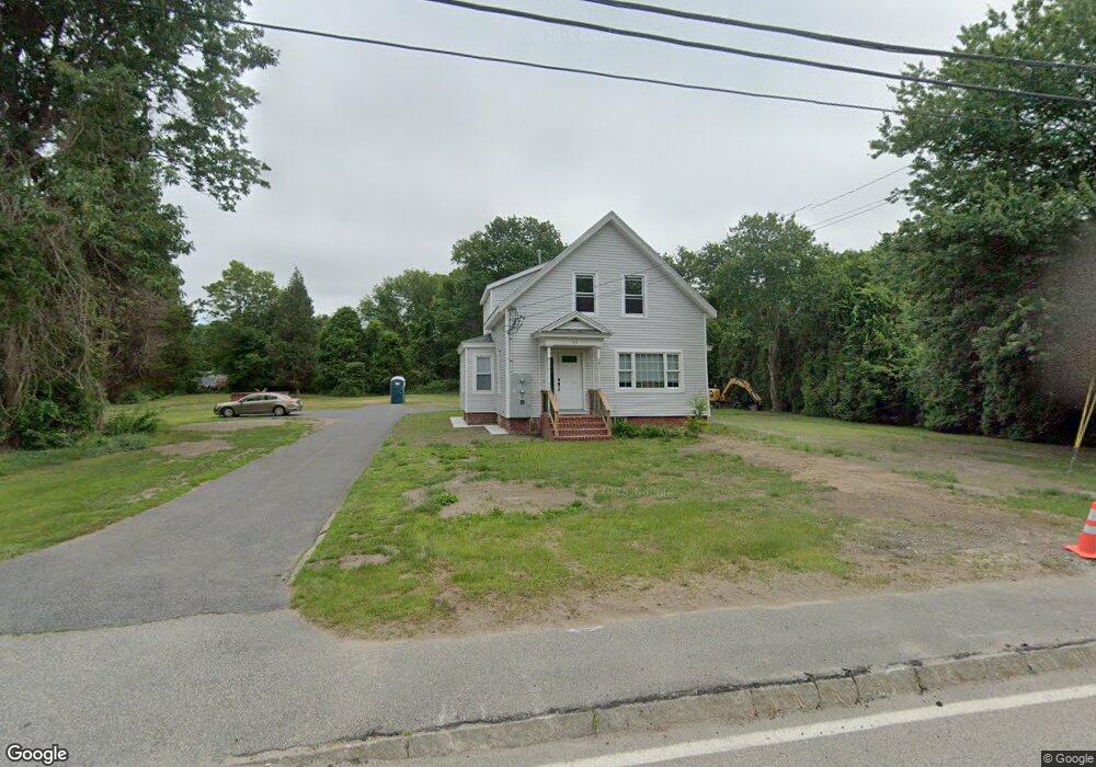
99 S Main St Assonet, MA 02702
Assonet Bay NeighborhoodEstimated Value: $408,000 - $665,000
5
Beds
2
Baths
2,100
Sq Ft
$245/Sq Ft
Est. Value
About This Home
This home is located at 99 S Main St, Assonet, MA 02702 and is currently estimated at $514,554, approximately $245 per square foot. 99 S Main St is a home located in Bristol County with nearby schools including Freetown Elementary School, George R Austin Intermediate School, and Freetown-Lakeville Middle School.
Ownership History
Date
Name
Owned For
Owner Type
Purchase Details
Closed on
Dec 15, 2020
Sold by
Dlr Properties Llc
Bought by
Mgp Rt
Current Estimated Value
Purchase Details
Closed on
Oct 30, 2009
Sold by
Copsetta Ronald F Sr E and Copsetta Ronald F
Bought by
Dlr Prop Llc
Home Financials for this Owner
Home Financials are based on the most recent Mortgage that was taken out on this home.
Original Mortgage
$126,000
Interest Rate
5.06%
Mortgage Type
Purchase Money Mortgage
Purchase Details
Closed on
May 15, 1996
Sold by
Hadley Tedd E and Hadley Susan M
Bought by
Copsetta Ronald F
Home Financials for this Owner
Home Financials are based on the most recent Mortgage that was taken out on this home.
Original Mortgage
$102,900
Interest Rate
7.77%
Mortgage Type
Purchase Money Mortgage
Create a Home Valuation Report for This Property
The Home Valuation Report is an in-depth analysis detailing your home's value as well as a comparison with similar homes in the area
Home Values in the Area
Average Home Value in this Area
Purchase History
| Date | Buyer | Sale Price | Title Company |
|---|---|---|---|
| Mgp Rt | $360,000 | None Available | |
| Dlr Prop Llc | $180,000 | -- | |
| Copsetta Ronald F | $102,900 | -- |
Source: Public Records
Mortgage History
| Date | Status | Borrower | Loan Amount |
|---|---|---|---|
| Previous Owner | Dlr Prop Llc | $126,000 | |
| Previous Owner | Copsetta Ronald F | $102,900 | |
| Previous Owner | Copsetta Ronald F | $37,000 | |
| Previous Owner | Copsetta Ronald F | $30,000 |
Source: Public Records
Tax History Compared to Growth
Tax History
| Year | Tax Paid | Tax Assessment Tax Assessment Total Assessment is a certain percentage of the fair market value that is determined by local assessors to be the total taxable value of land and additions on the property. | Land | Improvement |
|---|---|---|---|---|
| 2025 | $5,046 | $509,200 | $156,500 | $352,700 |
| 2024 | $5,013 | $480,600 | $147,600 | $333,000 |
| 2023 | $4,887 | $456,300 | $132,900 | $323,400 |
| 2022 | $4,565 | $378,500 | $112,600 | $265,900 |
| 2021 | $3,758 | $295,900 | $102,400 | $193,500 |
| 2020 | $3,721 | $285,800 | $98,500 | $187,300 |
| 2019 | $3,420 | $260,100 | $93,800 | $166,300 |
| 2018 | $3,148 | $236,500 | $93,800 | $142,700 |
| 2017 | $3,062 | $229,900 | $93,800 | $136,100 |
| 2016 | $2,610 | $199,400 | $91,100 | $108,300 |
| 2015 | $2,571 | $199,300 | $91,100 | $108,200 |
| 2014 | $2,487 | $197,200 | $89,200 | $108,000 |
Source: Public Records
Map
Nearby Homes
- 55 S Main St
- 42 High St
- 75 Narrows Rd
- 5 E Public St
- 0 Lark Ln
- 111 High St
- 4 Hadley Heights Way
- 5 Hadley Heights Way
- 37 Simpson Ln
- 5 Nottingham Way
- 1 Elm St
- 22 Riverside Dr
- 10 Mill St
- 5455 N Main St Unit 14B
- 5455 N Main St Unit 18A
- 5455 N Main St Unit 17A
- 5455 N Main St Unit 13A
- 20 Slab Bridge Rd
- 15 Slab Bridge Rd
- 32 Ridge St