Estimated Value: $866,000 - $1,134,000
3
Beds
2
Baths
2,568
Sq Ft
$389/Sq Ft
Est. Value
About This Home
This home is located at 99 Thurlow Rd, Twisp, WA 98856 and is currently estimated at $999,766, approximately $389 per square foot. 99 Thurlow Rd is a home with nearby schools including Methow Valley Elementary School, Liberty Bell Junior/Senior High School, and Methow Valley Independent Learning Center.
Ownership History
Date
Name
Owned For
Owner Type
Purchase Details
Closed on
Sep 16, 2010
Sold by
Jobes Peter N
Bought by
Baker Michael C and Baker Kris E
Current Estimated Value
Home Financials for this Owner
Home Financials are based on the most recent Mortgage that was taken out on this home.
Original Mortgage
$80,000
Interest Rate
4.38%
Mortgage Type
New Conventional
Purchase Details
Closed on
Aug 5, 2005
Sold by
Fort Michael D
Bought by
Jobes Peter N
Create a Home Valuation Report for This Property
The Home Valuation Report is an in-depth analysis detailing your home's value as well as a comparison with similar homes in the area
Purchase History
| Date | Buyer | Sale Price | Title Company |
|---|---|---|---|
| Baker Michael C | $138,000 | Inland Professional Title | |
| Jobes Peter N | $115,000 | Transnation Title |
Source: Public Records
Mortgage History
| Date | Status | Borrower | Loan Amount |
|---|---|---|---|
| Previous Owner | Baker Michael C | $80,000 |
Source: Public Records
Tax History
| Year | Tax Paid | Tax Assessment Tax Assessment Total Assessment is a certain percentage of the fair market value that is determined by local assessors to be the total taxable value of land and additions on the property. | Land | Improvement |
|---|---|---|---|---|
| 2025 | $6,811 | $942,900 | $145,400 | $797,500 |
| 2024 | $6,811 | $860,400 | $145,400 | $715,000 |
| 2022 | $6,163 | $572,100 | $140,400 | $431,700 |
| 2021 | $6,533 | $572,100 | $140,400 | $431,700 |
| 2020 | $5,315 | $572,100 | $140,400 | $431,700 |
| 2019 | $2,812 | $259,700 | $140,400 | $119,300 |
| 2018 | $2,945 | $259,700 | $140,400 | $119,300 |
| 2017 | $2,676 | $259,700 | $140,400 | $119,300 |
| 2016 | $2,084 | $204,300 | $85,000 | $119,300 |
| 2015 | $1,434 | $151,100 | $85,000 | $66,100 |
| 2013 | -- | $117,600 | $117,600 | $0 |
Source: Public Records
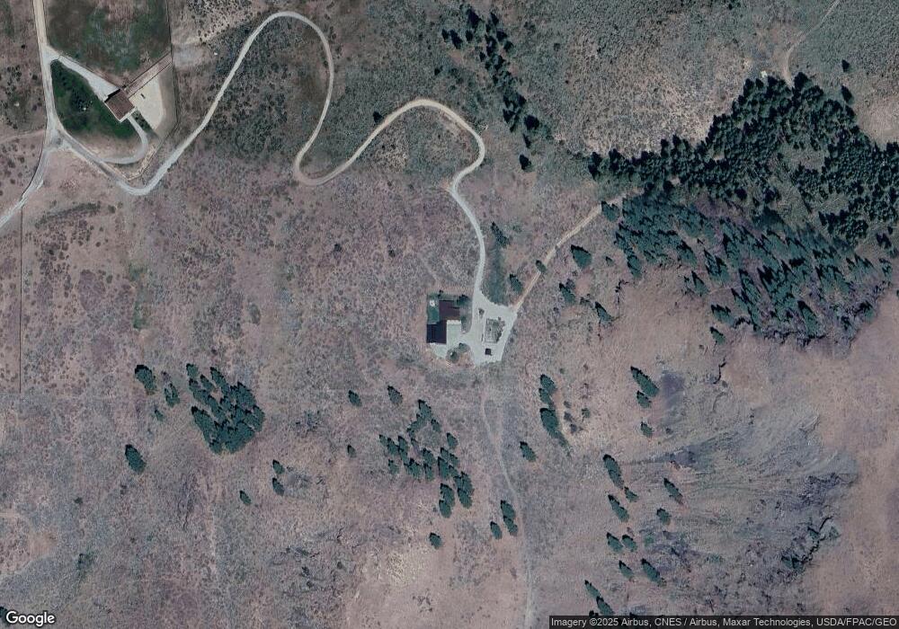
Map
Nearby Homes
- 48 Thurlow Rd
- 121 Finley Canyon Rd
- 2992 Washington 153
- 54B Ross Rd Unit B
- 1221 Riverside Ave
- 1110 Riverside Ave
- 0 Lot 2 Amended Surface Short Plat
- 245 Twisp Carlton Rd
- 805 Marble St
- 318 Lombard St
- 136 Johnson St
- 115 Johnson St N Unit 1,2,3
- 140 Twisp Ave W Unit 204
- 87 Vintin Rd
- 1941 Washington 153
- 1 Hwy 153
- Hwy 153
- 2081 Washington 153
- 14 Maverick Ln
- 143 Harrier Hill Rd
- 0 Off Thurlow Rd Unit 28180634
- 71 Silver Heights Ln
- 27 Silver Heights Ln
- 87 Silver Heights Ln
- 50 X Silver Heights Ln
- 2 Silver Heights Ln
- 2860 State Route 153
- 2860 Washington 153
- 50 Off Thurlow Rd
- 3 Silver Heights Ln
- 32 Thurlow Rd
- 2877 State Route 153
- 2766 Washington 153
- 2881 State Route 153
- 25 Thurlow Rd
- 2861 State Route 153
- 2861 Highway 153
- 5 Silver Heights Ln
- 6 Silver Heights Ln
- 2611 Washington 153
Your Personal Tour Guide
Ask me questions while you tour the home.