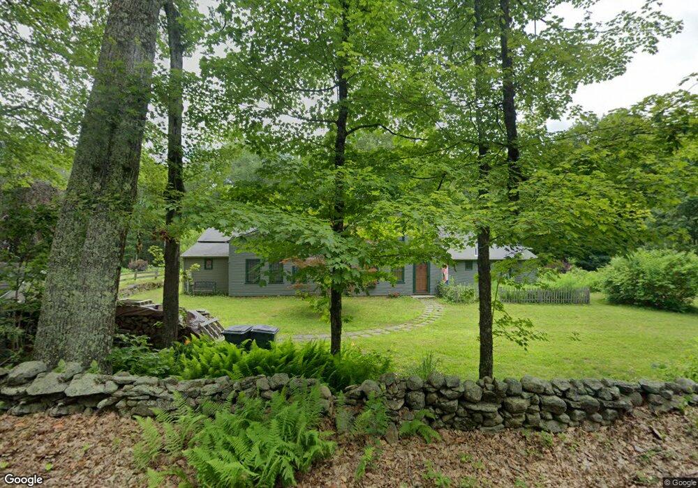
99 West St Wendell, MA 01379
Wendell NeighborhoodEstimated Value: $187,000 - $525,504
3
Beds
3
Baths
3,393
Sq Ft
$123/Sq Ft
Est. Value
About This Home
This home is located at 99 West St, Wendell, MA 01379 and is currently estimated at $417,376, approximately $123 per square foot. 99 West St is a home located in Franklin County with nearby schools including Swift River School and Ralph C Mahar Regional School.
Ownership History
Date
Name
Owned For
Owner Type
Purchase Details
Closed on
Dec 28, 2022
Sold by
Queen Christopher S and Terrien-Queen Alys
Bought by
Queen Terrien 2022 Lt
Current Estimated Value
Purchase Details
Closed on
Oct 28, 2002
Sold by
Plakias Nick and Taylor Leslie J
Bought by
Queen Christopher S and Terrien-Queen Alys
Home Financials for this Owner
Home Financials are based on the most recent Mortgage that was taken out on this home.
Original Mortgage
$164,000
Interest Rate
6.2%
Mortgage Type
Purchase Money Mortgage
Create a Home Valuation Report for This Property
The Home Valuation Report is an in-depth analysis detailing your home's value as well as a comparison with similar homes in the area
Home Values in the Area
Average Home Value in this Area
Purchase History
| Date | Buyer | Sale Price | Title Company |
|---|---|---|---|
| Queen Terrien 2022 Lt | -- | None Available | |
| Queen Christopher S | $205,000 | -- |
Source: Public Records
Mortgage History
| Date | Status | Borrower | Loan Amount |
|---|---|---|---|
| Previous Owner | Queen Christopher S | $190,000 | |
| Previous Owner | Queen Christopher S | $348,000 | |
| Previous Owner | Queen Christopher S | $164,000 | |
| Previous Owner | Queen Christopher S | $47,000 |
Source: Public Records
Tax History Compared to Growth
Tax History
| Year | Tax Paid | Tax Assessment Tax Assessment Total Assessment is a certain percentage of the fair market value that is determined by local assessors to be the total taxable value of land and additions on the property. | Land | Improvement |
|---|---|---|---|---|
| 2025 | $10,066 | $480,500 | $45,400 | $435,100 |
| 2024 | $9,817 | $443,200 | $45,400 | $397,800 |
| 2023 | $9,069 | $423,600 | $45,400 | $378,200 |
| 2022 | $10,551 | $454,000 | $46,300 | $407,700 |
| 2021 | $10,653 | $434,100 | $43,700 | $390,400 |
| 2020 | $10,358 | $434,100 | $43,700 | $390,400 |
| 2019 | $9,815 | $434,100 | $43,700 | $390,400 |
| 2018 | $9,116 | $434,900 | $43,700 | $391,200 |
| 2017 | $8,686 | $449,800 | $43,300 | $406,500 |
| 2016 | $8,717 | $449,800 | $43,300 | $406,500 |
| 2015 | $8,486 | $447,600 | $45,600 | $402,000 |
Source: Public Records
Map
Nearby Homes
- 4 West St
- 0 Shore Dr
- 133 Lakeview Rd
- 36 Merrill Dr
- 84 Lake Dr
- 85 Lake Dr
- 28 Morse Village Rd
- 0 Dudleyville Rd
- Lot 31 Wendell Rd
- 10 Hannabrooke Dr
- 359 Montague Rd
- Lot 55 Wendell Rd
- 0 Wendell Rd
- 8 Craig Ave
- 39 N Leverett Rd
- 35 A N Leverett Rd
- 72 N Main St
- 5 Bridge St
- Lots 1-4 Kavanaugh Ln
- 0 Cooleyville Rd