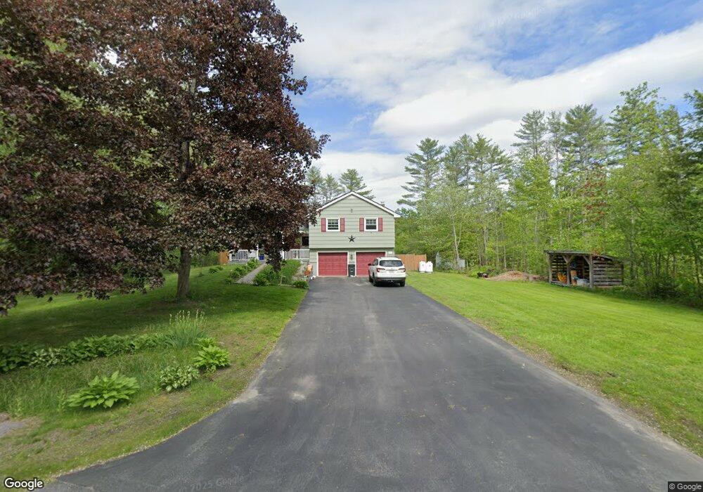
99 Woodridge Dr Manchester, ME 04351
Estimated Value: $372,000 - $437,224
4
Beds
2
Baths
1,809
Sq Ft
$226/Sq Ft
Est. Value
About This Home
This home is located at 99 Woodridge Dr, Manchester, ME 04351 and is currently estimated at $408,806, approximately $225 per square foot. 99 Woodridge Dr is a home located in Kennebec County.
Ownership History
Date
Name
Owned For
Owner Type
Purchase Details
Closed on
Sep 25, 2020
Sold by
Mushlit James P
Bought by
Mushlit Deane L and Mushlit James P
Current Estimated Value
Home Financials for this Owner
Home Financials are based on the most recent Mortgage that was taken out on this home.
Original Mortgage
$150,000
Outstanding Balance
$132,812
Interest Rate
2.9%
Mortgage Type
New Conventional
Estimated Equity
$275,994
Purchase Details
Closed on
Aug 26, 2014
Sold by
Gadberry Gregory D and Gadberry Susan B
Bought by
Mushlit James P
Home Financials for this Owner
Home Financials are based on the most recent Mortgage that was taken out on this home.
Original Mortgage
$202,500
Interest Rate
4.14%
Mortgage Type
VA
Create a Home Valuation Report for This Property
The Home Valuation Report is an in-depth analysis detailing your home's value as well as a comparison with similar homes in the area
Home Values in the Area
Average Home Value in this Area
Purchase History
| Date | Buyer | Sale Price | Title Company |
|---|---|---|---|
| Mushlit Deane L | -- | None Available | |
| Mushlit Deane L | -- | None Available | |
| Mushlit Deane L | -- | None Available | |
| Mushlit James P | -- | -- | |
| Mushlit James P | -- | -- |
Source: Public Records
Mortgage History
| Date | Status | Borrower | Loan Amount |
|---|---|---|---|
| Open | Mushlit Deane L | $150,000 | |
| Closed | Mushlit Deane L | $150,000 | |
| Previous Owner | Mushlit James P | $202,500 |
Source: Public Records
Tax History Compared to Growth
Tax History
| Year | Tax Paid | Tax Assessment Tax Assessment Total Assessment is a certain percentage of the fair market value that is determined by local assessors to be the total taxable value of land and additions on the property. | Land | Improvement |
|---|---|---|---|---|
| 2024 | $3,191 | $192,200 | $58,500 | $133,700 |
| 2023 | $3,191 | $192,200 | $58,500 | $133,700 |
| 2022 | $3,027 | $192,200 | $58,500 | $133,700 |
| 2021 | $3,075 | $192,200 | $58,500 | $133,700 |
| 2020 | $3,364 | $192,200 | $58,500 | $133,700 |
| 2019 | $3,383 | $192,200 | $58,500 | $133,700 |
| 2018 | $3,335 | $192,200 | $58,500 | $133,700 |
| 2017 | $3,248 | $192,200 | $58,500 | $133,700 |
| 2016 | $3,152 | $192,200 | $58,500 | $133,700 |
| 2015 | $3,066 | $192,200 | $58,500 | $133,700 |
| 2013 | $2,873 | $192,200 | $58,500 | $133,700 |
Source: Public Records
Map
Nearby Homes
- 26 Peggy Ln
- 0 Ingraham St
- 33 Woodridge Dr
- 0 Cross St
- 35 Estates Dr Unit 3
- 43 Estates Dr Unit 1
- 693- B Western Ave
- 2549 US Route 202
- 0 Allen Hill Ln
- 226 Pond Rd
- 424 Winthrop St
- TBD Pond Rd
- 165 Wade Rd
- 19 Windy Meadows Dr
- 252 Meadowhill Rd
- 772 Prescott Rd
- 340 Stanley Rd
- Lot 55 S Birchwood Ln
- 333 Stanley Rd
- 3 Tallwood Rd
- 76 Sylvan Way
- 70 Sylvan Way
- 98 Woodridge Dr
- 91 Woodridge Dr
- 53 Country Club Rd Unit 2
- 90 Woodridge Dr
- 85 Woodridge Dr
- 65 Sylvan Way
- 64 Sylvan Way
- 49 Sylvan Way
- 84 Woodridge Dr
- 81 Woodridge Dr
- 19 Jamison Place
- 54 Sylvan Way
- 33 Ingraham St
- 8 Aaron
- 4 & 8 Aaron Dr
- 0 Deerfield Ln Unit 1251388
- 0 Deerfield Ln Unit 1310317
- MU24L20 Scenic Dr W