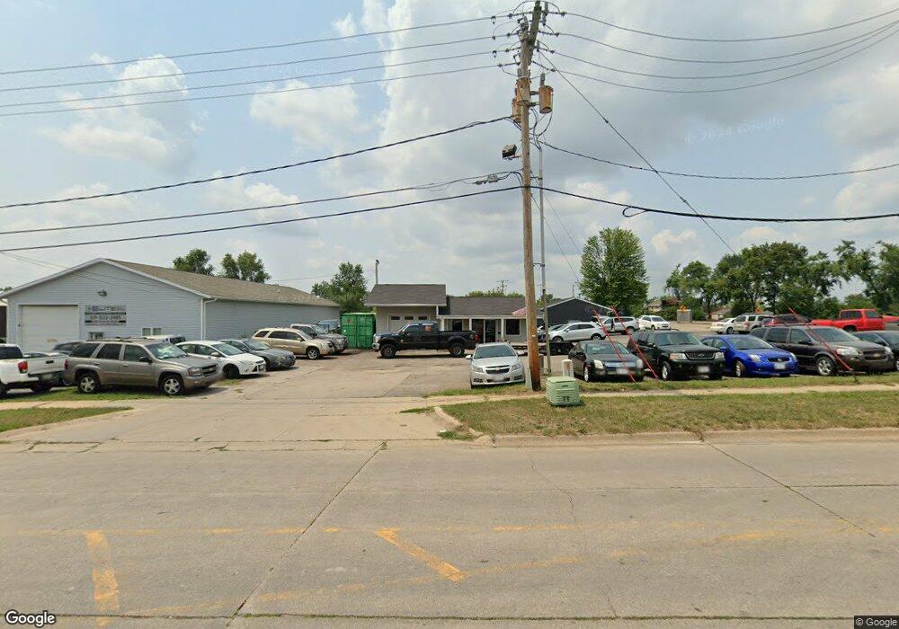
990 Robins Rd Hiawatha, IA 52233
Estimated Value: $395,015
--
Bed
1
Bath
803
Sq Ft
$492/Sq Ft
Est. Value
About This Home
This home is located at 990 Robins Rd, Hiawatha, IA 52233 and is currently estimated at $395,015, approximately $491 per square foot. 990 Robins Rd is a home located in Linn County with nearby schools including Nixon Elementary School, Harding Middle School, and John F. Kennedy High School.
Ownership History
Date
Name
Owned For
Owner Type
Purchase Details
Closed on
Mar 7, 2022
Sold by
Tamayo John A and Tamayo Nicole M
Bought by
Banasik Kevin J and Wilt Nicole M
Current Estimated Value
Purchase Details
Closed on
Nov 15, 2019
Sold by
Marak Properties Llc
Bought by
Bigfoot Auto Llc
Home Financials for this Owner
Home Financials are based on the most recent Mortgage that was taken out on this home.
Original Mortgage
$226,400
Interest Rate
3.5%
Mortgage Type
Future Advance Clause Open End Mortgage
Purchase Details
Closed on
Aug 31, 2005
Sold by
Marak Michael D and Marak Tracy L
Bought by
Marak Properties Llc
Purchase Details
Closed on
Jun 22, 2005
Sold by
Pt Properties Llc
Bought by
Marak Michael D and Marak Tracy L
Home Financials for this Owner
Home Financials are based on the most recent Mortgage that was taken out on this home.
Original Mortgage
$300,000
Interest Rate
5.87%
Mortgage Type
Commercial
Create a Home Valuation Report for This Property
The Home Valuation Report is an in-depth analysis detailing your home's value as well as a comparison with similar homes in the area
Home Values in the Area
Average Home Value in this Area
Purchase History
| Date | Buyer | Sale Price | Title Company |
|---|---|---|---|
| Banasik Kevin J | $390,000 | None Listed On Document | |
| Bigfoot Auto Llc | $283,000 | None Available | |
| Marak Properties Llc | -- | -- | |
| Marak Michael D | $199,500 | -- |
Source: Public Records
Mortgage History
| Date | Status | Borrower | Loan Amount |
|---|---|---|---|
| Previous Owner | Bigfoot Auto Llc | $226,400 | |
| Previous Owner | Marak Michael D | $300,000 |
Source: Public Records
Tax History Compared to Growth
Tax History
| Year | Tax Paid | Tax Assessment Tax Assessment Total Assessment is a certain percentage of the fair market value that is determined by local assessors to be the total taxable value of land and additions on the property. | Land | Improvement |
|---|---|---|---|---|
| 2025 | $2,926 | $174,200 | $111,800 | $62,400 |
| 2024 | $2,934 | $164,400 | $111,800 | $52,600 |
| 2023 | $2,934 | $164,400 | $111,800 | $52,600 |
| 2022 | $2,898 | $144,700 | $93,600 | $51,100 |
| 2021 | $3,160 | $144,700 | $93,600 | $51,100 |
| 2020 | $3,160 | $146,000 | $93,600 | $52,400 |
| 2019 | $3,024 | $141,800 | $93,600 | $48,200 |
| 2018 | $2,954 | $141,800 | $93,600 | $48,200 |
| 2017 | $3,074 | $140,500 | $93,600 | $46,900 |
| 2016 | $4,854 | $140,500 | $93,600 | $46,900 |
| 2015 | $4,857 | $140,500 | $93,600 | $46,900 |
| 2014 | $3,008 | $140,500 | $93,600 | $46,900 |
| 2013 | $4,188 | $140,500 | $93,600 | $46,900 |
Source: Public Records
Map
Nearby Homes
- 780 Ryan Ave
- 114 Northwood Dr
- 6505 Brookview Ln NE
- 250 Cimarron Dr Unit 311
- 6509 Mosswood Ln NE
- 1813 Northbrook Dr NE
- 250 Cimarron Dr NE Unit 309
- 3 N Center Point Rd
- 1 N Center Point Rd
- 1708 Brookdale Ln NE
- 1617 Brookdale Ln NE
- 109 E Willman St
- 1011 Kacena Rd
- 105 W Willman St
- 7016 Parkdale Ln NE
- 1472 Tower Ln NE Unit 5
- 1450 Tower Ln NE
- 1026 Eisenhower Rd
- 2900 Hawkeye Dr
- 2910 Hawkeye Dr
- 55 Boyson Rd
- 1004 Robins Rd
- 850 Robins Rd
- 830 Robins Rd
- 820 Robins Rd Unit L
- 820 Robins Rd
- 820 Robins Rd Unit A
- 820 Robins Rd Unit B
- 820 Robins Rd Unit A&B
- 825 Robins Rd
- 800 Robins Rd
- 820 Brandon Ave
- 100 Boyson Rd
- 815 Robins Rd Unit 4
- 815 Robins Rd Unit 3
- 815 Robins Rd Unit 2
- 815 Robins Rd Unit 1
- 805 Robins Rd
- 807 Robins Rd
- 775 Robins Rd