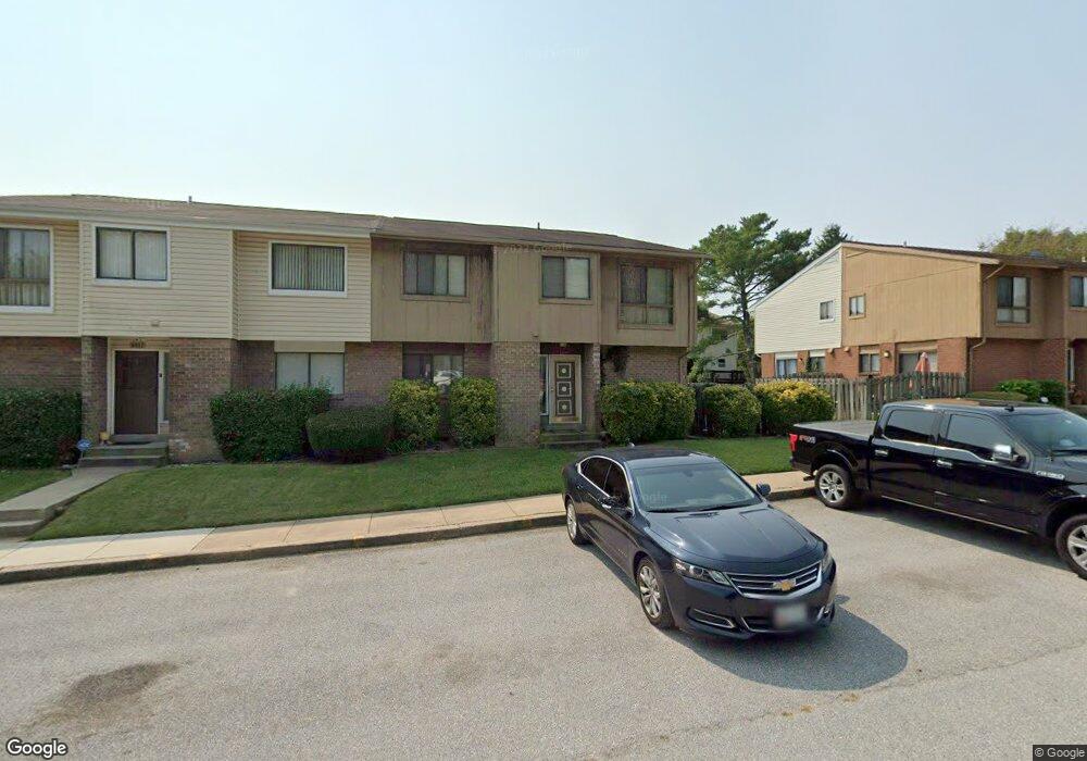
9903 Shoshone Way Randallstown, MD 21133
Estimated Value: $283,009 - $314,000
3
Beds
3
Baths
1,344
Sq Ft
$219/Sq Ft
Est. Value
About This Home
This home is located at 9903 Shoshone Way, Randallstown, MD 21133 and is currently estimated at $294,752, approximately $219 per square foot. 9903 Shoshone Way is a home located in Baltimore County with nearby schools including Deer Park Elementary School, Deer Park Middle Magnet School, and New Town High.
Ownership History
Date
Name
Owned For
Owner Type
Purchase Details
Closed on
Jun 2, 2010
Sold by
Anderson Mark A
Bought by
Davis Leonard Ray
Current Estimated Value
Purchase Details
Closed on
Nov 17, 2004
Sold by
Frank Stanley L
Bought by
Anderson Mark A and Brown Neisha L
Purchase Details
Closed on
Nov 16, 2004
Sold by
Frank Stanley L
Bought by
Anderson Mark A and Brown Neisha L
Purchase Details
Closed on
Jun 26, 1985
Sold by
Hiebert William L
Bought by
Frank Stanley L
Create a Home Valuation Report for This Property
The Home Valuation Report is an in-depth analysis detailing your home's value as well as a comparison with similar homes in the area
Home Values in the Area
Average Home Value in this Area
Purchase History
| Date | Buyer | Sale Price | Title Company |
|---|---|---|---|
| Davis Leonard Ray | $164,700 | -- | |
| Anderson Mark A | $152,000 | -- | |
| Anderson Mark A | $152,000 | -- | |
| Frank Stanley L | $66,000 | -- |
Source: Public Records
Tax History Compared to Growth
Tax History
| Year | Tax Paid | Tax Assessment Tax Assessment Total Assessment is a certain percentage of the fair market value that is determined by local assessors to be the total taxable value of land and additions on the property. | Land | Improvement |
|---|---|---|---|---|
| 2025 | $3,825 | $209,433 | -- | -- |
| 2024 | $3,825 | $187,800 | $47,000 | $140,800 |
| 2023 | $1,815 | $176,600 | $0 | $0 |
| 2022 | $3,409 | $165,400 | $0 | $0 |
| 2021 | $3,223 | $154,200 | $47,000 | $107,200 |
| 2020 | $3,223 | $151,200 | $0 | $0 |
| 2019 | $3,168 | $148,200 | $0 | $0 |
| 2018 | $3,147 | $145,200 | $46,400 | $98,800 |
| 2017 | $2,931 | $141,333 | $0 | $0 |
| 2016 | $2,761 | $137,467 | $0 | $0 |
| 2015 | $2,761 | $133,600 | $0 | $0 |
| 2014 | $2,761 | $133,600 | $0 | $0 |
Source: Public Records
Map
Nearby Homes
- 9 Bannock Ct
- 17 Bannock Ct
- 4264 Cayuga Rd
- 9931 Tuscarora Rd
- 3827 Rayton Rd
- 3903 Innerdale Ct
- 3803 Marriottsville Rd
- 4105 Hanwell Rd
- 30 Sheraton Rd
- 3903 Red Deer Cir
- 9519 Branchleigh Rd
- 4108 Brown Bark Cir
- 9613 Watts Rd
- 9804 Marriottsville Rd
- 9530 John Locke Way
- 9500 Georgian Way
- 9500 Side Brook Rd Unit 304
- 9510 Coyle Rd Unit 109
- 4550 Chaucer Way Unit 406
- 9450 Wordsworth Way Unit 105
- 9907 Shoshone Way
- 9901 Shoshone Way
- 9909 Shoshone Way
- 9905 Shoshone Way
- 9913 Shoshone Way
- 9911 Shoshone Way
- 32 Bannock Ct
- 30 Bannock Ct
- 9915 Shoshone Way
- 34 Bannock Ct
- 28 Bannock Ct
- 9900 Shoshone Ct
- 26 Bannock Ct
- 24 Bannock Ct
- 9902 Shoshone Ct
- 9900 Shoshone Way
- 5 Cree Ct
- 9904 Shoshone Ct
- 9917 Shoshone Way
- 22 Bannock Ct