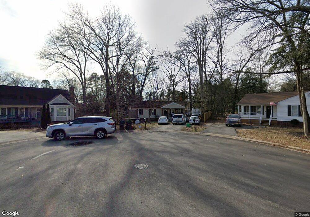
9906 Brenspark Rd Chesterfield, VA 23832
Chesterfield Courthouse NeighborhoodEstimated Value: $273,000 - $308,000
3
Beds
2
Baths
1,100
Sq Ft
$263/Sq Ft
Est. Value
About This Home
This home is located at 9906 Brenspark Rd, Chesterfield, VA 23832 and is currently estimated at $289,281, approximately $262 per square foot. 9906 Brenspark Rd is a home located in Chesterfield County with nearby schools including O.B. Gates Elementary School, Salem Church Middle School, and Lloyd C Bird High School.
Ownership History
Date
Name
Owned For
Owner Type
Purchase Details
Closed on
Jul 1, 2004
Sold by
Jones Robert
Bought by
Graves Curtis and Green,Arlene
Current Estimated Value
Home Financials for this Owner
Home Financials are based on the most recent Mortgage that was taken out on this home.
Original Mortgage
$122,500
Outstanding Balance
$61,599
Interest Rate
6.32%
Mortgage Type
New Conventional
Estimated Equity
$227,682
Purchase Details
Closed on
Sep 30, 2002
Sold by
Galusha R Brian
Bought by
Jones Robert B
Home Financials for this Owner
Home Financials are based on the most recent Mortgage that was taken out on this home.
Original Mortgage
$102,650
Interest Rate
6.25%
Mortgage Type
New Conventional
Purchase Details
Closed on
Jan 9, 1998
Sold by
Galusha R B R
Bought by
Galusha R B R and Galusha Joy D
Create a Home Valuation Report for This Property
The Home Valuation Report is an in-depth analysis detailing your home's value as well as a comparison with similar homes in the area
Home Values in the Area
Average Home Value in this Area
Purchase History
| Date | Buyer | Sale Price | Title Company |
|---|---|---|---|
| Graves Curtis | $122,500 | -- | |
| Jones Robert B | $103,500 | -- | |
| Galusha R B R | -- | -- |
Source: Public Records
Mortgage History
| Date | Status | Borrower | Loan Amount |
|---|---|---|---|
| Open | Graves Curtis | $122,500 | |
| Previous Owner | Galusha R B R | $102,650 |
Source: Public Records
Tax History Compared to Growth
Tax History
| Year | Tax Paid | Tax Assessment Tax Assessment Total Assessment is a certain percentage of the fair market value that is determined by local assessors to be the total taxable value of land and additions on the property. | Land | Improvement |
|---|---|---|---|---|
| 2025 | $2,126 | $236,100 | $60,000 | $176,100 |
| 2024 | $2,126 | $224,400 | $55,000 | $169,400 |
| 2023 | $1,852 | $203,500 | $50,000 | $153,500 |
| 2022 | $1,732 | $188,300 | $45,000 | $143,300 |
| 2021 | $1,651 | $166,800 | $40,000 | $126,800 |
| 2020 | $1,533 | $161,400 | $38,000 | $123,400 |
| 2019 | $1,437 | $151,300 | $38,000 | $113,300 |
| 2018 | $1,368 | $144,000 | $38,000 | $106,000 |
| 2017 | $1,382 | $144,000 | $38,000 | $106,000 |
| 2016 | $1,374 | $143,100 | $38,000 | $105,100 |
| 2015 | $1,370 | $140,100 | $38,000 | $102,100 |
| 2014 | $1,360 | $139,100 | $38,000 | $101,100 |
Source: Public Records
Map
Nearby Homes
- 9818 Brenspark Rd
- 9808 Brenspark Rd
- 10009 Simplicity St
- 6641 Greenyard Rd
- 6701 Greenyard Rd
- 10618 Valor Ln
- 9514 Riddle Rd
- The Franklin Plan at Chesterfield
- The Grant Plan at Chesterfield
- The Hancock Plan at Chesterfield
- The Betsy Ross Plan at Chesterfield
- The Washington Plan at Chesterfield
- 9508 Snowbird Rd
- 7003 Fox Green W
- 7006 Fox Green W
- 7029 Fox Green W
- 5707 Centralia Rd
- 11248 Magill Terrace Dr
- 9925 Majorica Dr
- 9924 Joindre Ct