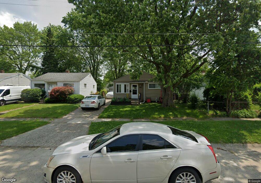
991 Hubbard Ave Flint, MI 48503
Mannhall Park NeighborhoodEstimated Value: $47,000 - $68,434
2
Beds
1
Bath
650
Sq Ft
$82/Sq Ft
Est. Value
About This Home
This home is located at 991 Hubbard Ave, Flint, MI 48503 and is currently estimated at $53,609, approximately $82 per square foot. 991 Hubbard Ave is a home located in Genesee County with nearby schools including Durant-Tuuri-Mott Elementary School, St. Paul Lutheran School, and First Flint Seventh-day Adventist Christian School.
Ownership History
Date
Name
Owned For
Owner Type
Purchase Details
Closed on
Feb 11, 2010
Sold by
Zerka John
Bought by
Jmz Properties Llc
Current Estimated Value
Purchase Details
Closed on
Jan 30, 2007
Sold by
Mortgage Electronic Registration Systems
Bought by
Hud
Purchase Details
Closed on
Nov 15, 2006
Sold by
Townsend Scott and Townsend Scott R
Bought by
Mortgage Electronic Registration Systems
Purchase Details
Closed on
Jul 14, 2000
Sold by
Youmans Ryan C and Youmans Laurie
Bought by
Townsend Scott
Purchase Details
Closed on
Nov 19, 1998
Sold by
Youmans K Youmans R and Youmans H
Bought by
Youmans Ryan C and Youmans Laurie
Create a Home Valuation Report for This Property
The Home Valuation Report is an in-depth analysis detailing your home's value as well as a comparison with similar homes in the area
Home Values in the Area
Average Home Value in this Area
Purchase History
| Date | Buyer | Sale Price | Title Company |
|---|---|---|---|
| Jmz Properties Llc | -- | None Available | |
| Hud | -- | None Available | |
| Mortgage Electronic Registration Systems | $71,635 | None Available | |
| Townsend Scott | $67,600 | Metropolitan Title Company | |
| Youmans Ryan C | $31,000 | -- |
Source: Public Records
Tax History Compared to Growth
Tax History
| Year | Tax Paid | Tax Assessment Tax Assessment Total Assessment is a certain percentage of the fair market value that is determined by local assessors to be the total taxable value of land and additions on the property. | Land | Improvement |
|---|---|---|---|---|
| 2025 | $1,266 | $19,500 | $0 | $0 |
| 2024 | $1,170 | $19,800 | $0 | $0 |
| 2023 | $1,141 | $17,600 | $0 | $0 |
| 2022 | $0 | $14,300 | $0 | $0 |
| 2021 | $1,158 | $12,300 | $0 | $0 |
| 2020 | $494 | $11,100 | $0 | $0 |
| 2019 | $493 | $10,000 | $0 | $0 |
| 2018 | $520 | $9,400 | $0 | $0 |
| 2017 | $497 | $0 | $0 | $0 |
| 2016 | $442 | $0 | $0 | $0 |
| 2015 | -- | $0 | $0 | $0 |
| 2014 | -- | $0 | $0 | $0 |
| 2012 | -- | $4,400 | $0 | $0 |
Source: Public Records
Map
Nearby Homes
- 996 Barney Ave
- 976 Barney Ave
- 960 Mann Ave
- 1017 Stocker Ave
- 916 Mann Ave
- 3413 Augusta St
- 1122 Stocker Ave
- 1010 Hughes Ave
- 1217 Barney Ave
- 960 Salisbury Ave
- 1202 Knapp Ave
- 1308 Barney Ave
- 2913 Gibson St
- 1318 Mann Ave
- 3801 Augusta St
- 911 Hughes Ave
- 3821 W Court St
- 1318 Knapp Ave
- 1412 S Ballenger Hwy
- 959 Tacken St
- 995 Hubbard Ave
- 987 Hubbard Ave
- 983 Hubbard Ave
- 992 Barney Ave
- 979 Hubbard Ave
- 984 Barney Ave
- 992 Hubbard Ave
- 975 Hubbard Ave
- 996 Hubbard Ave
- 988 Hubbard Ave
- 984 Hubbard Ave
- 980 Hubbard Ave
- 971 Hubbard Ave
- 976 Hubbard Ave
- 967 Hubbard Ave
- 1012 Barney Ave
- 991 S Ballenger Hwy
- 991 Barney Ave
- 995 S Ballenger Hwy
- 987 S Ballenger Hwy