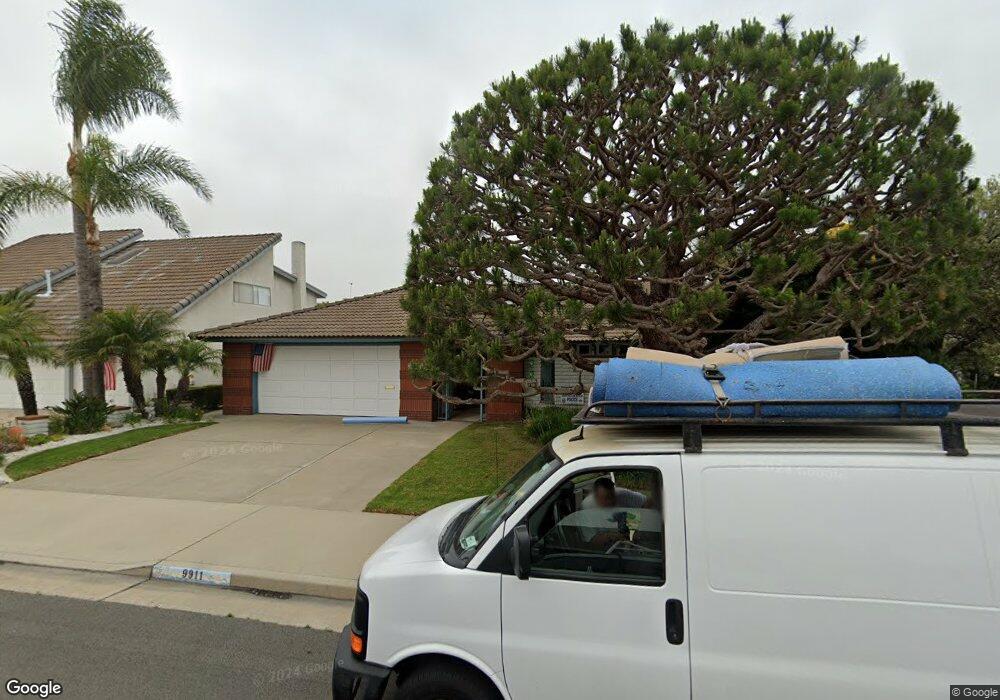
9911 Star Dr Huntington Beach, CA 92646
Southeast NeighborhoodEstimated Value: $1,458,594 - $1,635,000
4
Beds
2
Baths
1,822
Sq Ft
$864/Sq Ft
Est. Value
About This Home
This home is located at 9911 Star Dr, Huntington Beach, CA 92646 and is currently estimated at $1,574,399, approximately $864 per square foot. 9911 Star Dr is a home located in Orange County with nearby schools including Ralph E. Hawes Elementary School, Isaac L. Sowers Middle School, and Edison High School.
Ownership History
Date
Name
Owned For
Owner Type
Purchase Details
Closed on
Jul 12, 1994
Sold by
Ruzicka Claudette Ann
Bought by
Ruzicka Claudette Ann and Claudette Ann Ruzicka Trust
Current Estimated Value
Purchase Details
Closed on
Aug 25, 1993
Sold by
Hickey Joseph R and Hickey Claudette Ann
Bought by
Hickey Claudette Ann
Purchase Details
Closed on
Feb 8, 1993
Sold by
Hickey Joseph R
Bought by
Hickey Claudette Ann and Ruzicka Claudette
Create a Home Valuation Report for This Property
The Home Valuation Report is an in-depth analysis detailing your home's value as well as a comparison with similar homes in the area
Home Values in the Area
Average Home Value in this Area
Purchase History
| Date | Buyer | Sale Price | Title Company |
|---|---|---|---|
| Ruzicka Claudette Ann | -- | -- | |
| Hickey Claudette Ann | -- | -- | |
| Hickey Claudette Ann | -- | -- |
Source: Public Records
Tax History Compared to Growth
Tax History
| Year | Tax Paid | Tax Assessment Tax Assessment Total Assessment is a certain percentage of the fair market value that is determined by local assessors to be the total taxable value of land and additions on the property. | Land | Improvement |
|---|---|---|---|---|
| 2025 | $5,694 | $497,661 | $355,081 | $142,580 |
| 2024 | $5,694 | $487,903 | $348,118 | $139,785 |
| 2023 | $5,564 | $478,337 | $341,292 | $137,045 |
| 2022 | $5,416 | $468,958 | $334,600 | $134,358 |
| 2021 | $5,316 | $459,763 | $328,039 | $131,724 |
| 2020 | $5,280 | $455,049 | $324,675 | $130,374 |
| 2019 | $5,217 | $446,127 | $318,309 | $127,818 |
| 2018 | $5,136 | $437,380 | $312,068 | $125,312 |
| 2017 | $5,066 | $428,804 | $305,949 | $122,855 |
| 2016 | $4,844 | $420,397 | $299,950 | $120,447 |
| 2015 | $4,796 | $414,083 | $295,445 | $118,638 |
| 2014 | $4,695 | $405,972 | $289,657 | $116,315 |
Source: Public Records
Map
Nearby Homes
- 9812 La Cresta Cir
- 21022 Manessa Cir
- 9882 Cornerbrook Dr
- 21072 Galbar Cir
- 20392 Redwood Ln
- 9802 Effingham Dr
- 20862 Lancelot Ln
- 20442 Craimer Ln
- 10172 Stonybrook Dr
- 9581 Chevy Chase Dr
- 21361 Lemontree Ln
- 21382 Lemontree Ln
- 9522 Yellowstone Dr
- 2175 Pacific Ave Unit C1
- 9221 Belcaro Dr
- 21221 Hillsdale Ln
- 1269 Westreef
- 9695 Adams Ave
- 21662 Brookhurst St Unit D
- 9001 Oceanwood Dr
- 9921 Star Dr
- 9901 Star Dr
- 9922 Silver Strand Dr
- 9912 Silver Strand Dr
- 9932 Silver Strand Dr
- 9931 Star Dr
- 9891 Star Dr
- 9902 Silver Strand Dr
- 9942 Silver Strand Dr
- 9912 Star Dr
- 20771 Skimmer Ln
- 9902 Star Dr
- 9881 Star Dr
- 9941 Star Dr
- 9892 Star Dr
- 9892 Silver Strand Dr
- 9952 Silver Strand Dr
- 20781 Skimmer Ln
- 9882 Star Dr
- 9871 Star Dr