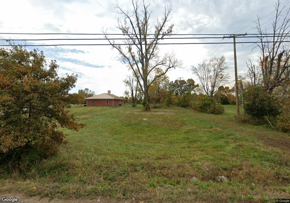
9912 Wingfield Rd Louisville, KY 40291
Estimated Value: $47,514 - $407,000
2
Beds
1
Bath
1,008
Sq Ft
$171/Sq Ft
Est. Value
About This Home
This home is located at 9912 Wingfield Rd, Louisville, KY 40291 and is currently estimated at $171,879, approximately $170 per square foot. 9912 Wingfield Rd is a home located in Jefferson County with nearby schools including Wilt Elementary School, Bates Elementary School, and Fern Creek Elementary School.
Ownership History
Date
Name
Owned For
Owner Type
Purchase Details
Closed on
Nov 18, 2019
Sold by
Allied Rei Llc
Bought by
Southpointe Partners Llc
Current Estimated Value
Purchase Details
Closed on
Mar 14, 2017
Sold by
Cecilia Westrich
Bought by
Allied Rei Llc
Purchase Details
Closed on
Aug 9, 2006
Sold by
Henley David
Bought by
Westrich Mark and Westrich Cecilia
Home Financials for this Owner
Home Financials are based on the most recent Mortgage that was taken out on this home.
Original Mortgage
$81,600
Interest Rate
6.74%
Mortgage Type
Purchase Money Mortgage
Create a Home Valuation Report for This Property
The Home Valuation Report is an in-depth analysis detailing your home's value as well as a comparison with similar homes in the area
Home Values in the Area
Average Home Value in this Area
Purchase History
| Date | Buyer | Sale Price | Title Company |
|---|---|---|---|
| Southpointe Partners Llc | $33,000 | None Available | |
| Allied Rei Llc | $110,000 | None Available | |
| Westrich Mark | $102,000 | None Available |
Source: Public Records
Mortgage History
| Date | Status | Borrower | Loan Amount |
|---|---|---|---|
| Previous Owner | Westrich Mark | $81,600 |
Source: Public Records
Tax History Compared to Growth
Tax History
| Year | Tax Paid | Tax Assessment Tax Assessment Total Assessment is a certain percentage of the fair market value that is determined by local assessors to be the total taxable value of land and additions on the property. | Land | Improvement |
|---|---|---|---|---|
| 2024 | $527 | $46,000 | $46,000 | $0 |
| 2023 | $389 | $33,000 | $33,000 | $0 |
| 2022 | $390 | $33,000 | $33,000 | $0 |
| 2021 | $417 | $33,000 | $33,000 | $0 |
| 2020 | $388 | $33,000 | $33,000 | $0 |
| 2019 | $390 | $35,950 | $35,950 | $0 |
| 2018 | $1,005 | $93,920 | $42,000 | $51,920 |
| 2017 | $986 | $93,920 | $42,000 | $51,920 |
| 2013 | $1,020 | $102,000 | $31,200 | $70,800 |
Source: Public Records
Map
Nearby Homes
- 10212 Reeseman Dr
- 10802 Glenway Place
- 7617 Fair Ln
- 7325 Spring Run Dr
- 6807 Lake Elkhorn Ct
- 6803 Lake Elkhorn Ct
- 11207 Breezeway St Unit 61A
- 11207 Breezeway St
- 6901 Holly Lake Dr
- 10414 Buzzman Dr
- 6709 Monty Ln
- 10202 Chico Ct
- 6610 El Toro Ct
- 7911 Windgate Dr
- 6900 Oak Rock Dr
- 6816 Oak Rock Dr
- 6902 Oak Rock Dr
- 8714 Broadwood Ct
- 10200 El Coco Ct
- 8701 Lough Dr
- 9910 Wingfield Rd
- 10000 Wingfield Rd
- 9904 Wingfield Rd
- 9911 Wingfield Rd
- 9909 Wingfield Rd
- 9907 Wingfield Rd
- 9913 Wingfield Rd
- 10002 Wingfield Rd
- 9902 Wingfield Rd
- 10001 Wingfield Rd
- 9905 Wingfield Rd
- 9900 Wingfield Rd
- 9901 Wingfield Rd
- 10010 Wingfield Rd
- 10007 Wingfield Rd
- 10012 Wingfield Rd
- 9814 Wingfield Rd
- 9815 Wingfield Rd
- 10013 Wingfield Rd
- 9810 Wingfield Rd