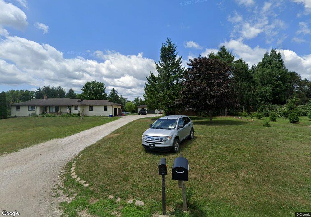
992 Township Road 53 West Salem, OH 44287
Estimated Value: $256,472 - $331,000
3
Beds
3
Baths
1,584
Sq Ft
$183/Sq Ft
Est. Value
About This Home
This home is located at 992 Township Road 53, West Salem, OH 44287 and is currently estimated at $290,368, approximately $183 per square foot. 992 Township Road 53 is a home located in Ashland County with nearby schools including Northwestern Elementary School and Northwestern Middle School.
Ownership History
Date
Name
Owned For
Owner Type
Purchase Details
Closed on
Dec 22, 2022
Sold by
Roy D Weaver D and Roy Doris E
Bought by
Chesteridge Iv Llc
Current Estimated Value
Purchase Details
Closed on
Sep 2, 2011
Sold by
Perry Vanpelt
Bought by
Weaver Roy D D Te Te and Weaver Doris E Te
Purchase Details
Closed on
Oct 18, 2007
Bought by
Vanpelt Perry
Purchase Details
Closed on
Mar 6, 1990
Bought by
Vanpelt Perry
Create a Home Valuation Report for This Property
The Home Valuation Report is an in-depth analysis detailing your home's value as well as a comparison with similar homes in the area
Home Values in the Area
Average Home Value in this Area
Purchase History
| Date | Buyer | Sale Price | Title Company |
|---|---|---|---|
| Chesteridge Iv Llc | -- | None Listed On Document | |
| Weaver Roy D D Te Te | $165,000 | -- | |
| Vanpelt Perry | -- | -- | |
| Vanpelt Perry | $6,900 | -- |
Source: Public Records
Tax History Compared to Growth
Tax History
| Year | Tax Paid | Tax Assessment Tax Assessment Total Assessment is a certain percentage of the fair market value that is determined by local assessors to be the total taxable value of land and additions on the property. | Land | Improvement |
|---|---|---|---|---|
| 2024 | $2,245 | $64,830 | $10,250 | $54,580 |
| 2023 | $2,245 | $64,830 | $10,250 | $54,580 |
| 2022 | $2,106 | $54,030 | $8,540 | $45,490 |
| 2021 | $2,128 | $54,030 | $8,540 | $45,490 |
| 2020 | $2,073 | $54,030 | $8,540 | $45,490 |
| 2019 | $2,120 | $51,880 | $7,800 | $44,080 |
| 2018 | $2,056 | $51,880 | $7,800 | $44,080 |
| 2017 | $1,845 | $51,880 | $7,800 | $44,080 |
| 2016 | $1,845 | $47,160 | $7,090 | $40,070 |
| 2015 | $1,842 | $47,160 | $7,090 | $40,070 |
| 2013 | $2,059 | $50,750 | $7,050 | $43,700 |
Source: Public Records
Map
Nearby Homes
- 999 Township Road 133
- 568 County Road 175
- 164 State Route 302
- 1137 County Road 175
- 58 State Route 42
- 10212 Lattasburg Rd
- 174 County Road 700
- 17 Andrew Ct
- 87 County Road 620
- 156 U S 250
- 0 Congress Unit 5159386
- 0 Congress Unit 5150334
- 80 S Lincoln St
- 195 County Road 620
- 9657 W Smithville Western Rd
- 413 N Main St
- 104 N Maple St
- 14951 Rickel Rd
- 566 County Road 175
- 486 Township Road 1275
- 988 Township Road 53
- 991 Township Road 53
- 997 Township Road 53
- 987 Township Road 53
- 984 Township Road 53
- 60 State Route 604
- 68 State Route 604
- 963 Township Road 53
- 953 Township Road 53
- LOT #1 Tr 53
- 103 State Route 604
- 107 Ohio 604
- 109 State Route 604
- 1011 Township Road 133
- 1011 Twp Rd 133
- 11091 W Easton Rd
- 1001 Twp 133
- 1001 Twp Rd 133
- 978 Township Road 133
- 1005 Township Road 133