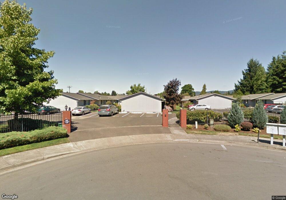
992 W L St Unit 12 Springfield, OR 97477
West Springfield NeighborhoodEstimated Value: $221,000 - $225,000
2
Beds
1
Bath
868
Sq Ft
$257/Sq Ft
Est. Value
About This Home
This home is located at 992 W L St Unit 12, Springfield, OR 97477 and is currently estimated at $223,423, approximately $257 per square foot. 992 W L St Unit 12 is a home located in Lane County with nearby schools including Centennial Elementary School, Hamlin Middle School, and Springfield High School.
Ownership History
Date
Name
Owned For
Owner Type
Purchase Details
Closed on
May 11, 2015
Sold by
Grote Ellen
Bought by
Kontny Mark S
Current Estimated Value
Home Financials for this Owner
Home Financials are based on the most recent Mortgage that was taken out on this home.
Original Mortgage
$85,657
Outstanding Balance
$65,508
Interest Rate
3.64%
Mortgage Type
VA
Estimated Equity
$157,915
Purchase Details
Closed on
Dec 11, 2009
Sold by
Hamlett W L and Hamlett Gayle D
Bought by
Grote Melvin and Grote Ellen
Purchase Details
Closed on
Feb 14, 2001
Sold by
Shelley Philip N and Shelley Lois V
Bought by
Hamlett W L and Hamlett Gayle D
Create a Home Valuation Report for This Property
The Home Valuation Report is an in-depth analysis detailing your home's value as well as a comparison with similar homes in the area
Home Values in the Area
Average Home Value in this Area
Purchase History
| Date | Buyer | Sale Price | Title Company |
|---|---|---|---|
| Kontny Mark S | $94,000 | Western Title & Escrow Co | |
| Grote Melvin | $119,000 | Evergreen Land Title Company | |
| Hamlett W L | $77,250 | Evergreen Land Title Co |
Source: Public Records
Mortgage History
| Date | Status | Borrower | Loan Amount |
|---|---|---|---|
| Open | Kontny Mark S | $85,657 |
Source: Public Records
Tax History Compared to Growth
Tax History
| Year | Tax Paid | Tax Assessment Tax Assessment Total Assessment is a certain percentage of the fair market value that is determined by local assessors to be the total taxable value of land and additions on the property. | Land | Improvement |
|---|---|---|---|---|
| 2025 | $2,211 | $120,550 | -- | -- |
| 2024 | $2,175 | $117,039 | -- | -- |
| 2023 | $2,175 | $113,631 | $0 | $0 |
| 2022 | $2,014 | $110,322 | $0 | $0 |
| 2021 | $1,978 | $107,109 | $0 | $0 |
| 2020 | $1,920 | $103,990 | $0 | $0 |
| 2019 | $1,863 | $100,962 | $0 | $0 |
| 2018 | $1,756 | $95,167 | $0 | $0 |
| 2017 | $1,688 | $95,167 | $0 | $0 |
| 2016 | $1,602 | $92,395 | $0 | $0 |
| 2015 | $1,588 | $92,045 | $0 | $0 |
| 2014 | -- | $89,364 | $0 | $0 |
Source: Public Records
Map
Nearby Homes
- 872 W N St
- 804 W N St
- 1120 W Fairview Dr Unit 3
- 1310 W Quinalt St
- 955 Oak Meadows Place
- 1632 Dotie Dr
- 1770 Brandy Way
- 930 Prescott Ln
- 436 W M St
- 428 W Centennial Blvd
- 1723 Dotie Dr
- 1130 Anderson Ln
- 952 Summit Blvd
- 0 Summit Blvd Unit 6305 24210629
- 835 Anderson Ln
- 633 Rowan Ave
- 835 Willacade Ct
- 475 Riverview Blvd
- 552 W D St
- 484 Scotts Glen Dr
- 994 W L St Unit 13
- 998 W L St Unit 15
- 986 W L St
- 996 W L St Unit 14
- 1000 W L St
- 988 W L St Unit 10
- 1014 W L St Unit 22
- 980 W L St
- 984 W L St
- 1002 W L St Unit 17
- 978 W L St
- 1021 W N St
- 1016 W L St Unit 23
- 1004 W L St Unit 18
- 1010 W L St Unit 24
- 1018 W L St Unit 24
- 974 W L St Unit 4
- 1008 W L St Unit 20
- 976 W L St Unit 5
- 1006 W L St