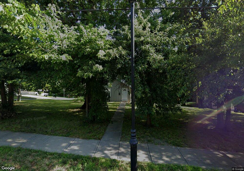
9920 Johnson Dr Shawnee, KS 66203
Estimated Value: $262,000 - $302,000
3
Beds
2
Baths
2,036
Sq Ft
$142/Sq Ft
Est. Value
About This Home
This home is located at 9920 Johnson Dr, Shawnee, KS 66203 and is currently estimated at $288,955, approximately $141 per square foot. 9920 Johnson Dr is a home located in Johnson County with nearby schools including Merriam Park Elementary School, Hocker Grove Middle School, and Shawnee Mission North High School.
Ownership History
Date
Name
Owned For
Owner Type
Purchase Details
Closed on
Nov 13, 2020
Sold by
G1 Real Estate Llc
Bought by
G1 Real Estate 007 Llc
Current Estimated Value
Purchase Details
Closed on
Jan 29, 2020
Sold by
Angel Darren R and Estate Of Loyd Ray Angel Jr
Bought by
Gi Real Estate Llc
Home Financials for this Owner
Home Financials are based on the most recent Mortgage that was taken out on this home.
Original Mortgage
$49,144
Interest Rate
3.72%
Mortgage Type
Future Advance Clause Open End Mortgage
Create a Home Valuation Report for This Property
The Home Valuation Report is an in-depth analysis detailing your home's value as well as a comparison with similar homes in the area
Home Values in the Area
Average Home Value in this Area
Purchase History
| Date | Buyer | Sale Price | Title Company |
|---|---|---|---|
| G1 Real Estate 007 Llc | -- | None Available | |
| Gi Real Estate Llc | $65,525 | Platinum Title Llc |
Source: Public Records
Mortgage History
| Date | Status | Borrower | Loan Amount |
|---|---|---|---|
| Previous Owner | Gi Real Estate Llc | $49,144 |
Source: Public Records
Tax History
| Year | Tax Paid | Tax Assessment Tax Assessment Total Assessment is a certain percentage of the fair market value that is determined by local assessors to be the total taxable value of land and additions on the property. | Land | Improvement |
|---|---|---|---|---|
| 2025 | $2,733 | $24,299 | $5,874 | $18,425 |
| 2024 | $2,733 | $25,679 | $5,874 | $19,805 |
| 2023 | $2,292 | $21,873 | $4,898 | $16,975 |
| 2022 | $2,268 | $20,815 | $4,898 | $15,917 |
| 2021 | $2,134 | $18,595 | $4,449 | $14,146 |
| 2020 | $1,843 | $15,985 | $4,040 | $11,945 |
| 2019 | $1,595 | $13,880 | $3,512 | $10,368 |
| 2018 | $1,571 | $13,616 | $3,200 | $10,416 |
| 2017 | $1,381 | $11,776 | $3,200 | $8,576 |
| 2016 | $1,364 | $11,557 | $3,200 | $8,357 |
| 2015 | $1,320 | $11,258 | $3,200 | $8,058 |
| 2013 | -- | $11,132 | $3,200 | $7,932 |
Source: Public Records
Map
Nearby Homes
- 5841 Blackhoof Trail
- 9719 W 59th Terrace
- 5719 Farley St
- 11000 W 56th Terrace
- 6319 Robinhood Dr
- 9719 W 53rd St
- 10120 W 65th St
- 9516 W 53rd St
- 6404 Ballentine St
- 10116 W 52nd Terrace
- 6439 Melrose Ln
- 8522 W 56th Terrace
- 5833 Woodward St
- 6518 Larsen Ln
- 8613 W 54th Terrace
- 6213 Terrydale St
- 5308 Mcanany Dr
- 11700 Johnson Dr
- 5734 Cody St
- 5952 Garnett St
- 9900 Johnson Dr
- 5841 Blackhoof Dr
- 9924 Johnson Dr
- 9810 Johnson Dr
- 5837 Blackhoof Dr
- 9921 Johnson Dr
- 5840 Blackhoof Dr
- 9901 Johnson Dr
- 9827 Johnson Dr
- 10000 Johnson Dr
- 9931 Johnson Dr
- 9821 Johnson Dr
- 9800 Johnson Dr
- 9825 Hocker Dr
- 9821 Hocker Dr
- 9903 Johnson Dr
- 10012 Johnson Dr
- 5827 Mastin St
- 5820 Blackhoof Dr
- 9815 Hocker Dr
Your Personal Tour Guide
Ask me questions while you tour the home.