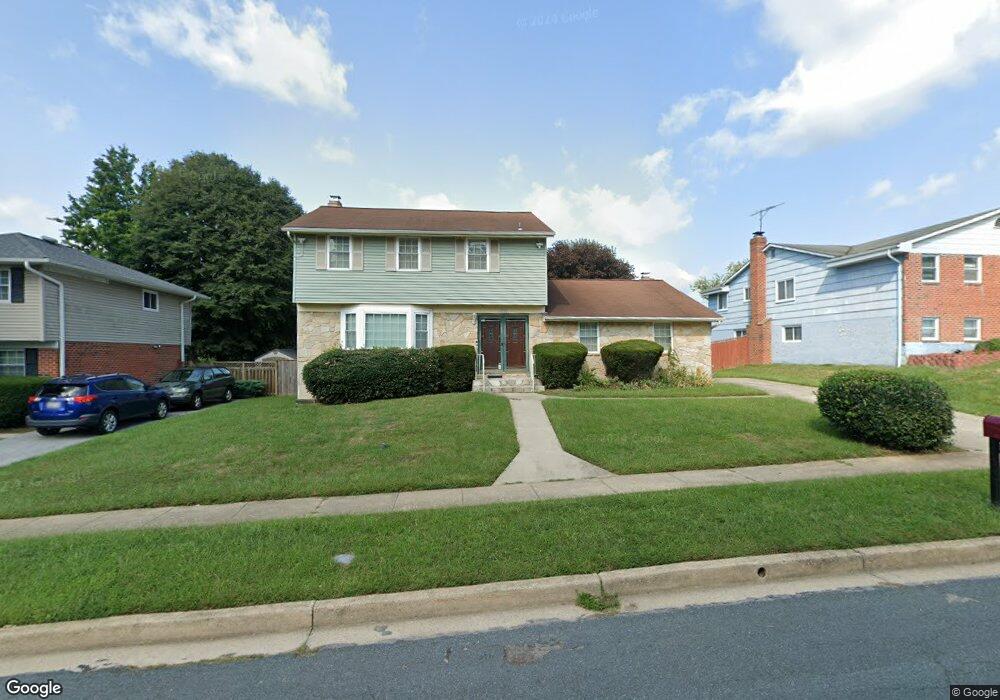
9922 Hoyt Cir Randallstown, MD 21133
Estimated Value: $308,000 - $456,000
--
Bed
3
Baths
2,253
Sq Ft
$176/Sq Ft
Est. Value
About This Home
This home is located at 9922 Hoyt Cir, Randallstown, MD 21133 and is currently estimated at $396,472, approximately $175 per square foot. 9922 Hoyt Cir is a home located in Baltimore County with nearby schools including Hernwood Elementary School, Deer Park Middle Magnet School, and New Town High.
Ownership History
Date
Name
Owned For
Owner Type
Purchase Details
Closed on
Jul 30, 2008
Sold by
Thompson Madelyn O
Bought by
Thompson Madelyn O
Current Estimated Value
Purchase Details
Closed on
Jul 11, 2008
Sold by
Thompson Madelyn O
Bought by
Thompson Madelyn O
Purchase Details
Closed on
Mar 14, 2008
Sold by
Thompson Madelyn O
Bought by
Thompson Madelyn O
Purchase Details
Closed on
Feb 7, 2008
Sold by
Thompson Madelyn O
Bought by
Thompson Madelyn O
Purchase Details
Closed on
Jan 16, 2002
Sold by
Thompson Rudolph W
Bought by
Thompson Madelyn O
Purchase Details
Closed on
Jan 20, 1998
Sold by
Reid Regina
Bought by
Thompson Rudolph W and Thompson Madelyn O
Purchase Details
Closed on
Feb 26, 1997
Sold by
Reid Haywood
Bought by
Reid Regina
Create a Home Valuation Report for This Property
The Home Valuation Report is an in-depth analysis detailing your home's value as well as a comparison with similar homes in the area
Home Values in the Area
Average Home Value in this Area
Purchase History
| Date | Buyer | Sale Price | Title Company |
|---|---|---|---|
| Thompson Madelyn O | -- | -- | |
| Thompson Madelyn O | -- | -- | |
| Thompson Madelyn O | -- | -- | |
| Thompson Madelyn O | -- | -- | |
| Thompson Madelyn O | -- | -- | |
| Thompson Rudolph W | $113,000 | -- | |
| Reid Regina | -- | -- |
Source: Public Records
Tax History Compared to Growth
Tax History
| Year | Tax Paid | Tax Assessment Tax Assessment Total Assessment is a certain percentage of the fair market value that is determined by local assessors to be the total taxable value of land and additions on the property. | Land | Improvement |
|---|---|---|---|---|
| 2025 | $3,712 | $282,700 | -- | -- |
| 2024 | $3,712 | $260,300 | $82,500 | $177,800 |
| 2023 | $1,815 | $257,633 | $0 | $0 |
| 2022 | $2,871 | $254,967 | $0 | $0 |
| 2021 | $3,243 | $252,300 | $82,500 | $169,800 |
| 2020 | $3,243 | $246,767 | $0 | $0 |
| 2019 | $3,083 | $241,233 | $0 | $0 |
| 2018 | $2,948 | $235,700 | $68,500 | $167,200 |
| 2017 | $2,773 | $219,800 | $0 | $0 |
| 2016 | $2,341 | $203,900 | $0 | $0 |
| 2015 | $2,341 | $188,000 | $0 | $0 |
| 2014 | $2,341 | $188,000 | $0 | $0 |
Source: Public Records
Map
Nearby Homes
- 3517 Kings Point Rd
- 9804 Marriottsville Rd
- 3525 Cabot Rd
- 3618 Granite Rd
- 30 Sheraton Rd
- 3803 Marriottsville Rd
- 9605 Mendoza Rd
- 3538 Corn Stream Rd
- 3518 Orchard Shade Rd
- 3827 Rayton Rd
- 3903 Innerdale Ct
- 10520 Marriottsville Rd
- 3903 Red Deer Cir
- 9931 Tuscarora Rd
- 9401 Summer Squal Dr
- 9302 Silver Charm Dr
- 3200 Peddicoat Ct
- 9 Bannock Ct
- 9311 Colorado Ave
- 4264 Cayuga Rd
- 9924 Hoyt Cir
- 9926 Hoyt Cir
- 9918 Hoyt Cir
- 9921 Hoyt Cir
- 9928 Hoyt Cir
- 9916 Hoyt Cir
- 9923 Hoyt Cir
- 9919 Hoyt Cir
- 9925 Hoyt Cir
- 9917 Hoyt Cir
- 9930 Hoyt Cir
- 9915 Hoyt Cir
- 9914 Hoyt Cir
- 9902 Gunstock Rd
- 9932 Hoyt Cir
- 9909 Hoyt Cir
- 3604 Kings Point Rd
- 3606 Kings Point Rd
- 3602 Kings Point Rd
- 9931 Hoyt Cir