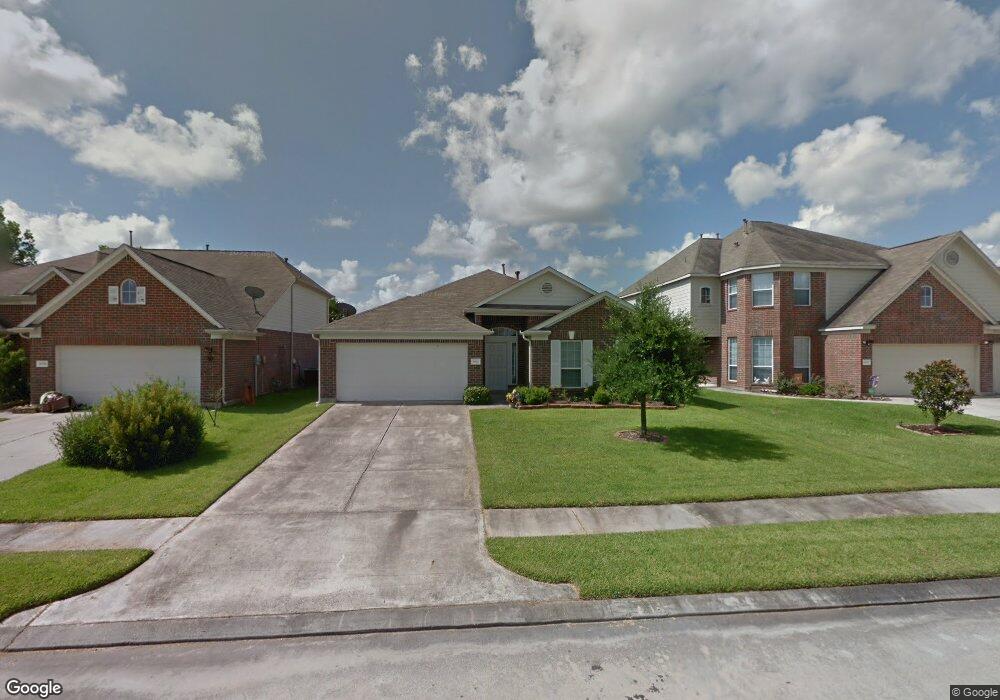
9926 Wing St Conroe, TX 77385
Estimated Value: $280,052 - $334,000
3
Beds
2
Baths
2,319
Sq Ft
$132/Sq Ft
Est. Value
About This Home
This home is located at 9926 Wing St, Conroe, TX 77385 and is currently estimated at $305,263, approximately $131 per square foot. 9926 Wing St is a home located in Montgomery County with nearby schools including Suchma Elementary School, Irons J High School, and Oak Ridge High School.
Ownership History
Date
Name
Owned For
Owner Type
Purchase Details
Closed on
Jun 17, 2016
Sold by
Wentzler Andrew J and Wentzler Sarah C
Bought by
King Robert L
Current Estimated Value
Home Financials for this Owner
Home Financials are based on the most recent Mortgage that was taken out on this home.
Original Mortgage
$184,000
Outstanding Balance
$146,634
Interest Rate
3.61%
Mortgage Type
VA
Estimated Equity
$158,629
Purchase Details
Closed on
Aug 25, 2008
Sold by
Long Lake Ltd
Bought by
Wentzler Andrew J
Home Financials for this Owner
Home Financials are based on the most recent Mortgage that was taken out on this home.
Original Mortgage
$135,000
Interest Rate
6.29%
Mortgage Type
VA
Purchase Details
Closed on
Mar 14, 2007
Sold by
Woodmere Development Co Ltd
Bought by
King Robert L
Create a Home Valuation Report for This Property
The Home Valuation Report is an in-depth analysis detailing your home's value as well as a comparison with similar homes in the area
Home Values in the Area
Average Home Value in this Area
Purchase History
| Date | Buyer | Sale Price | Title Company |
|---|---|---|---|
| King Robert L | -- | Chicago Title | |
| Wentzler Andrew J | -- | American Title Company | |
| King Robert L | -- | -- |
Source: Public Records
Mortgage History
| Date | Status | Borrower | Loan Amount |
|---|---|---|---|
| Open | King Robert L | $184,000 | |
| Previous Owner | Wentzler Andrew J | $135,000 |
Source: Public Records
Tax History
| Year | Tax Paid | Tax Assessment Tax Assessment Total Assessment is a certain percentage of the fair market value that is determined by local assessors to be the total taxable value of land and additions on the property. | Land | Improvement |
|---|---|---|---|---|
| 2025 | $4,586 | $289,261 | $42,500 | $246,761 |
| 2024 | $4,384 | $297,675 | $42,500 | $255,175 |
| 2023 | $4,384 | $278,100 | $42,500 | $260,150 |
| 2022 | $5,186 | $252,820 | $42,500 | $230,420 |
| 2021 | $5,996 | $229,840 | $42,500 | $187,340 |
| 2020 | $5,886 | $213,400 | $30,970 | $191,320 |
| 2019 | $5,596 | $194,000 | $16,400 | $177,600 |
| 2018 | $4,182 | $184,080 | $16,400 | $167,680 |
| 2017 | $5,410 | $184,080 | $16,400 | $167,680 |
| 2016 | $5,377 | $182,960 | $16,400 | $166,560 |
| 2015 | $4,827 | $166,790 | $16,400 | $150,390 |
| 2014 | $4,827 | $149,620 | $16,400 | $133,220 |
Source: Public Records
Map
Nearby Homes
- 9934 Yearling Place
- 9915 Valance Way
- 9906 Knob Hollow Way
- 2110 Artic Loon Dr
- 16870 Blackberry Lily Ln
- 2122 Artic Loon Dr
- 16945 Scenic Knoll
- 2115 Pacific Loon Ln
- 16947 Hummingbird
- 16803 W Whimbrel Cir
- 9889 Hyacinth Way
- 10003 S Whimbrel Cir
- 16937 Larkspur
- 16820 Infield Ct
- 10190 N Whimbrel Cir
- 16731 Foursquare Dr
- 16774 Fallen Timbers Dr
- 16348 Olive Sparrow Dr
- 10114 N Whimbrel Cir
- 9809 Wren Ct
Your Personal Tour Guide
Ask me questions while you tour the home.