Estimated Value: $280,000 - $375,000
Studio
--
Bath
2,232
Sq Ft
$140/Sq Ft
Est. Value
About This Home
This home is located at 993 Billy Dice Rd, Perry, FL 32347 and is currently estimated at $312,067, approximately $139 per square foot. 993 Billy Dice Rd is a home located in Taylor County with nearby schools including Perry Primary School, Taylor County Elementary School, and Taylor County Middle School.
Ownership History
Date
Name
Owned For
Owner Type
Purchase Details
Closed on
May 19, 2000
Sold by
Mccauley John F and Mccauley Cathryn S
Bought by
Walker Carswell E and Walker Elizabeth K
Current Estimated Value
Home Financials for this Owner
Home Financials are based on the most recent Mortgage that was taken out on this home.
Original Mortgage
$106,945
Outstanding Balance
$36,010
Interest Rate
8.2%
Mortgage Type
FHA
Estimated Equity
$276,057
Create a Home Valuation Report for This Property
The Home Valuation Report is an in-depth analysis detailing your home's value as well as a comparison with similar homes in the area
Home Values in the Area
Average Home Value in this Area
Purchase History
| Date | Buyer | Sale Price | Title Company |
|---|---|---|---|
| Walker Carswell E | $107,000 | Frith Abstract & Title Compa |
Source: Public Records
Mortgage History
| Date | Status | Borrower | Loan Amount |
|---|---|---|---|
| Open | Walker Carswell E | $106,945 |
Source: Public Records
Tax History
| Year | Tax Paid | Tax Assessment Tax Assessment Total Assessment is a certain percentage of the fair market value that is determined by local assessors to be the total taxable value of land and additions on the property. | Land | Improvement |
|---|---|---|---|---|
| 2025 | $1,524 | $134,190 | -- | -- |
| 2024 | $1,431 | $130,410 | -- | -- |
| 2023 | $1,431 | $126,620 | $0 | $0 |
| 2022 | $1,377 | $122,940 | $0 | $0 |
| 2021 | $1,326 | $119,360 | $0 | $0 |
| 2020 | $1,309 | $117,720 | $0 | $0 |
| 2019 | $1,292 | $115,080 | $0 | $0 |
| 2018 | $1,280 | $112,940 | $20,900 | $92,040 |
| 2017 | $1,284 | $112,310 | $20,900 | $91,410 |
| 2016 | $1,270 | $114,290 | $20,900 | $93,390 |
| 2015 | $1,132 | $118,760 | $23,380 | $95,380 |
| 2014 | -- | $108,408 | $0 | $0 |
Source: Public Records
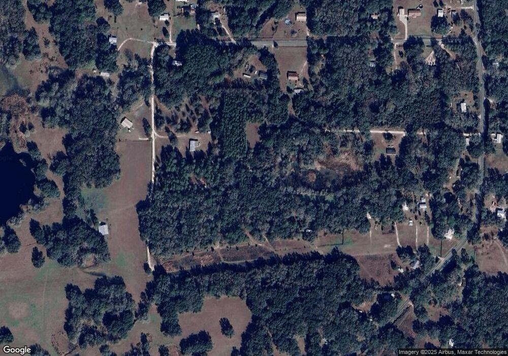
Map
Nearby Homes
- 1100 Glennis Cruce Rd
- 3639 Joel Aman Rd
- 2085 N Sam Poppell Rd
- 799 E Roberts Aman Rd
- 275 Agner Acres
- 1946 N US 221
- Lot 85,86 Canopy Ln
- 413 E Elm St
- 593 E Ash St
- 309 W Oak St
- 114 N Myrtle St
- 401 W Ash St
- 0 Hugh Rd
- 510 W Ash St
- 106 Stephens St
- xxx N Peacock Ave
- 1650 Lyman Hendry Rd Unit 1
- 1650 Lyman Hendry Rd Unit 2
- Vacant Marshall Dr
- 1660 W Lyman Hendry Rd
- 1080 Billy Dice Rd
- 1117 Glennis Cruce Rd
- 1025 Glennis Cruce Rd
- 2977 Johnson Stripling Rd
- 2989 Johnson Stripling Rd
- 2989 Johnson Stripling Rd
- 1030 Glennis Cruce Rd
- 2965 Johnson Stripling Rd
- 879 Glennis Cruce Rd
- 1220 Glennis Cruce Rd
- 2915 Johnson Stripling Rd
- 3060 Johnson Stripling Rd
- 3060 Johnson Stripling Rd
- 938 Glennis Cruce Rd
- 2875 Johnson Stripling Rd
- 2984 Johnson Stripling Rd
- 2894 Johnson Stripling Rd
- 2860 Johnson Stripling Rd
- 900 Glennis Cruce Rd
- 2837 Johnson Stripling Rd
Your Personal Tour Guide
Ask me questions while you tour the home.