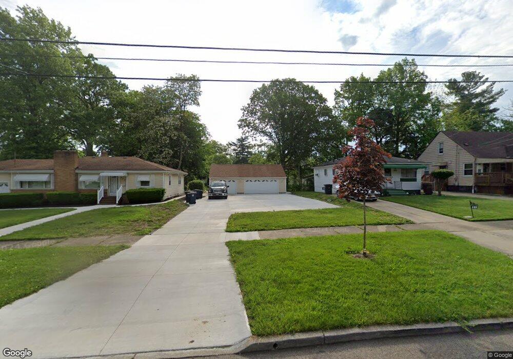
993 Packard Dr Akron, OH 44320
West Akron Neighborhood
Studio
1
Bath
--
Sq Ft
5,227
Sq Ft Lot
About This Home
This home is located at 993 Packard Dr, Akron, OH 44320. 993 Packard Dr is a home located in Summit County with nearby schools including Emmanuel Christian Academy.
Ownership History
Date
Name
Owned For
Owner Type
Purchase Details
Closed on
Nov 3, 2020
Sold by
Summit County Land Reutilization Corpora
Bought by
Strong Alfred L
Purchase Details
Closed on
Apr 1, 2020
Sold by
Austin Helen and Scalise Kristen M
Bought by
Summit County Land Reutilization Corp
Purchase Details
Closed on
Sep 16, 1998
Sold by
Houston Lula M
Bought by
Austin Helen
Home Financials for this Owner
Home Financials are based on the most recent Mortgage that was taken out on this home.
Original Mortgage
$39,750
Interest Rate
10.3%
Mortgage Type
New Conventional
Create a Home Valuation Report for This Property
The Home Valuation Report is an in-depth analysis detailing your home's value as well as a comparison with similar homes in the area
Home Values in the Area
Average Home Value in this Area
Purchase History
| Date | Buyer | Sale Price | Title Company |
|---|---|---|---|
| Strong Alfred L | -- | Reilly Drew C | |
| Summit County Land Reutilization Corp | -- | None Available | |
| Austin Helen | $38,000 | -- |
Source: Public Records
Mortgage History
| Date | Status | Borrower | Loan Amount |
|---|---|---|---|
| Previous Owner | Austin Helen | $39,750 |
Source: Public Records
Tax History
| Year | Tax Paid | Tax Assessment Tax Assessment Total Assessment is a certain percentage of the fair market value that is determined by local assessors to be the total taxable value of land and additions on the property. | Land | Improvement |
|---|---|---|---|---|
| 2020 | $1,863 | $3,580 | $3,580 | $0 |
| 2019 | $1,138 | $4,650 | $4,650 | $0 |
| 2018 | $2,118 | $4,650 | $4,650 | $0 |
| 2017 | $414 | $4,650 | $4,650 | $0 |
| 2016 | $414 | $4,650 | $4,650 | $0 |
| 2015 | $414 | $4,650 | $4,650 | $0 |
| 2014 | $1,400 | $4,650 | $4,650 | $0 |
| 2013 | $2,079 | $4,650 | $4,650 | $0 |
Source: Public Records
Map
Nearby Homes
- 970 Mercer Ave
- 957 Mercer Ave
- 892-894 Storer Ave
- 934 Packard Dr
- 1040 Mercer Ave
- 852 Storer Ave
- 1088 Packard Dr
- 926 Winton Ave
- 869 Packard Dr
- VL Mercer Ave
- 801 Storer Ave
- 615 Noah Ave
- 1041 Diagonal Rd
- 616 Noble Ave
- 1188 Hardesty Blvd
- 1255 Dover Ave
- 1194 Greenwood Ave
- 1225 Belleflower Rd
- 1248 Greenwood Ave
- 614 East Ave
- 999 Packard Dr
- 987 Packard Dr
- 1003 Packard Dr
- 984 Peerless Ave
- 988 Peerless Ave
- 977 Packard Dr
- 977 Packard Dr
- 1011 Packard Dr
- 994 Peerless Ave
- 982 Peerless Ave
- 978 Peerless Ave
- 970 Peerless Ave
- 998 Peerless Ave
- 994 Packard Dr
- 998 Packard Dr
- 990 Packard Dr
- 1002 Packard Dr
- 986 Packard Dr
- 1008 Peerless Ave
- 1013 Packard Dr
Your Personal Tour Guide
Ask me questions while you tour the home.