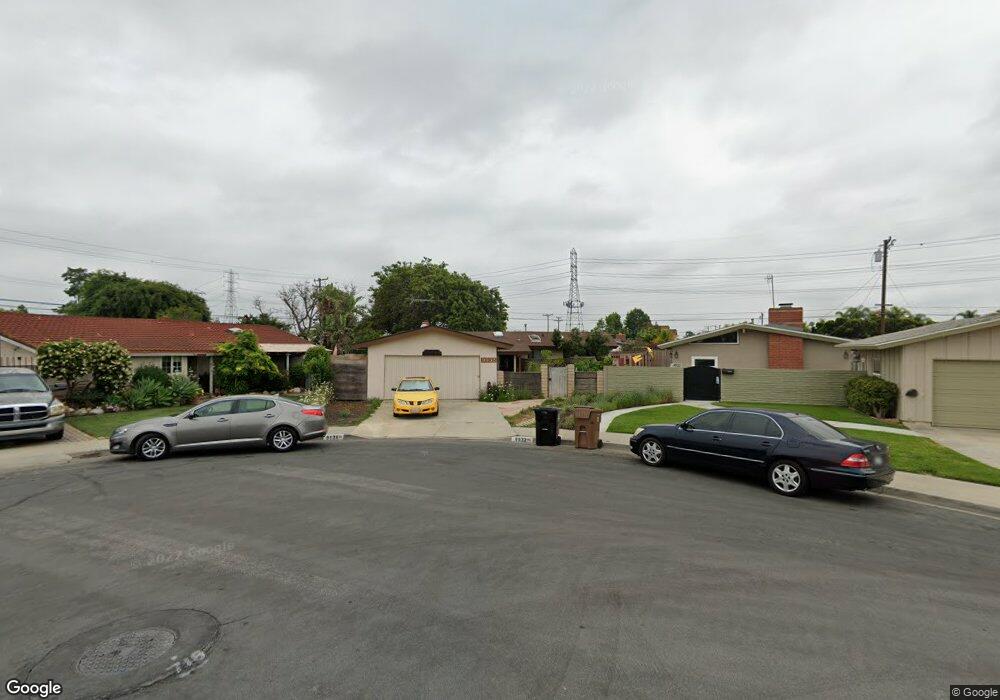
9932 Cris Ave Anaheim, CA 92804
West Anaheim NeighborhoodEstimated Value: $819,440 - $923,000
2
Beds
2
Baths
1,139
Sq Ft
$756/Sq Ft
Est. Value
About This Home
This home is located at 9932 Cris Ave, Anaheim, CA 92804 and is currently estimated at $861,110, approximately $756 per square foot. 9932 Cris Ave is a home located in Orange County with nearby schools including Jonas E. Salk Elementary School, Dale Jr High School, and Magnolia High.
Ownership History
Date
Name
Owned For
Owner Type
Purchase Details
Closed on
Jul 30, 2010
Sold by
Whomsley Luther E and Whomsley Ellen C
Bought by
Cris Avenue Llc
Current Estimated Value
Purchase Details
Closed on
Oct 9, 2009
Sold by
Whomsley Luther E
Bought by
Whomsley Luther E and Whomsley Family Trust
Purchase Details
Closed on
Jan 9, 1995
Sold by
Whomsley Luther E and Whomsley Ellen C
Bought by
Whomsley Luther E and Whomsley Ellen C
Create a Home Valuation Report for This Property
The Home Valuation Report is an in-depth analysis detailing your home's value as well as a comparison with similar homes in the area
Home Values in the Area
Average Home Value in this Area
Purchase History
| Date | Buyer | Sale Price | Title Company |
|---|---|---|---|
| Cris Avenue Llc | -- | None Available | |
| Whomsley Luther E | -- | None Available | |
| Whomsley Luther E | -- | None Available | |
| Whomsley Luther E | -- | None Available | |
| Whomsley Luther E | -- | None Available | |
| Whomsley Luther E | -- | -- | |
| Whomsley Luther E | -- | -- |
Source: Public Records
Tax History
| Year | Tax Paid | Tax Assessment Tax Assessment Total Assessment is a certain percentage of the fair market value that is determined by local assessors to be the total taxable value of land and additions on the property. | Land | Improvement |
|---|---|---|---|---|
| 2025 | $1,140 | $60,017 | $30,250 | $29,767 |
| 2024 | $1,140 | $58,841 | $29,657 | $29,184 |
| 2023 | $1,119 | $57,688 | $29,076 | $28,612 |
| 2022 | $1,086 | $56,557 | $28,506 | $28,051 |
| 2021 | $1,028 | $55,449 | $27,948 | $27,501 |
| 2020 | $1,042 | $54,881 | $27,661 | $27,220 |
| 2019 | $1,031 | $53,805 | $27,118 | $26,687 |
| 2018 | $1,020 | $52,750 | $26,586 | $26,164 |
| 2017 | $993 | $51,716 | $26,065 | $25,651 |
| 2016 | $977 | $50,702 | $25,553 | $25,149 |
| 2015 | $1,000 | $49,941 | $25,169 | $24,772 |
| 2014 | $990 | $48,963 | $24,676 | $24,287 |
Source: Public Records
Map
Nearby Homes
- 2161 W Harle Ave
- 1765 S Biscayne Ct
- 1762 S William Miller Dr
- 10601 Patricia Dr
- 10402 Patricia Dr
- 2011 W Katella Ave
- 2011 W Katella Ave Unit 3
- 11192 Biscayne Ct
- 1250 S Brookhurst St Unit 2050
- 1250 S Brookhurst St Unit 1109
- 1250 S Brookhurst St Unit 2028
- 1250 S Brookhurst St Unit 2080
- 1250 S Brookhurst St Unit 2033
- 1250 S Brookhurst St Unit 2014
- 9652 Dewey Dr
- 10031 Burgundy Place
- 1447 S Easy Way
- 9155 Pacific Ave Unit 265
- 90093 Stacie Ln
- 2157 W Essex Cir
- 9936 Cris Ave
- 9922 Cris Ave
- 9931 Pacific Ave
- 9941 Pacific Ave
- 9912 Cris Ave
- 9921 Pacific Ave
- 10631 S Brookhurst St
- 10621 Brookhurst St
- 10631 Brookhurst St
- 9911 Pacific Ave
- 9935 Cris Ave
- 10611 Brookhurst St
- 10651 Brookhurst St
- 9892 Cris Ave
- 10601 Brookhurst St
- 9971 Pacific Ave
- 9891 Pacific Ave
- 9921 Cris Ave
- 9931 Cris Ave
- 9911 Cris Ave
Your Personal Tour Guide
Ask me questions while you tour the home.