9932 Shepherd Rd Shepherd, MT 59079
Estimated Value: $465,000 - $597,000
3
Beds
2
Baths
1,134
Sq Ft
$465/Sq Ft
Est. Value
About This Home
This home is located at 9932 Shepherd Rd, Shepherd, MT 59079 and is currently estimated at $527,624, approximately $465 per square foot. 9932 Shepherd Rd is a home located in Yellowstone County with nearby schools including Shepherd Elementary School, Shepherd Middle School, and Shepherd High School.
Ownership History
Date
Name
Owned For
Owner Type
Purchase Details
Closed on
Oct 10, 2008
Sold by
Devries Ronda R
Bought by
Vermandel Callie and Vermandel Treston A
Current Estimated Value
Home Financials for this Owner
Home Financials are based on the most recent Mortgage that was taken out on this home.
Original Mortgage
$248,000
Outstanding Balance
$160,660
Interest Rate
5.9%
Mortgage Type
Unknown
Estimated Equity
$366,964
Create a Home Valuation Report for This Property
The Home Valuation Report is an in-depth analysis detailing your home's value as well as a comparison with similar homes in the area
Purchase History
| Date | Buyer | Sale Price | Title Company |
|---|---|---|---|
| Vermandel Callie | -- | None Available |
Source: Public Records
Mortgage History
| Date | Status | Borrower | Loan Amount |
|---|---|---|---|
| Open | Vermandel Callie | $248,000 |
Source: Public Records
Tax History
| Year | Tax Paid | Tax Assessment Tax Assessment Total Assessment is a certain percentage of the fair market value that is determined by local assessors to be the total taxable value of land and additions on the property. | Land | Improvement |
|---|---|---|---|---|
| 2025 | $3,617 | $464,100 | $136,281 | $327,819 |
| 2024 | $3,617 | $422,200 | $102,872 | $319,328 |
| 2023 | $3,679 | $422,200 | $102,872 | $319,328 |
| 2022 | $3,174 | $337,500 | $0 | $0 |
| 2021 | $3,291 | $337,500 | $0 | $0 |
| 2020 | $3,251 | $322,000 | $0 | $0 |
| 2019 | $2,692 | $322,000 | $0 | $0 |
| 2018 | $2,682 | $301,700 | $0 | $0 |
| 2017 | $2,415 | $301,700 | $0 | $0 |
| 2016 | $2,640 | $316,500 | $0 | $0 |
| 2015 | $2,616 | $316,500 | $0 | $0 |
| 2014 | $2,179 | $140,662 | $0 | $0 |
Source: Public Records
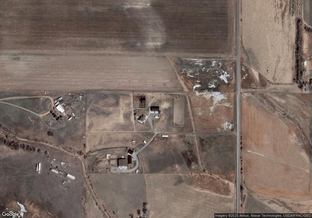
Map
Nearby Homes
- 9705 Shepherd Rd
- 10550 Reno Ln
- 5652 Bengston Rd
- 6345 Pleasant Hollow Trail
- 8020 Wade St
- 6835 Eagle Bend Blvd
- 7420 Whitetail Run
- 7340 Wild Game Trail
- 7729 Buckskin Dr
- 7684 12 Mile Rd
- 5430 Cerkoney Ln
- 3835 Nellie Christine Dr
- 3863 Glenn Edward Rd
- 3625 Nellie Christine Dr
- 7445 Horsemans Way
- 7306 Kendra Lynn Dr
- L5B4 Trumbo Cir
- L4B4 Trumbo Cir
- L1B4 True Grit St
- L16B3 True Grit St
Your Personal Tour Guide
Ask me questions while you tour the home.