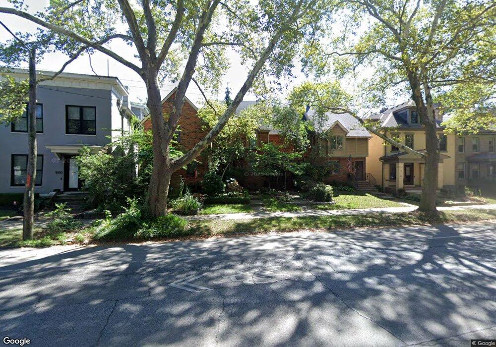
994 Neil Ave Columbus, OH 43201
Victorian Village NeighborhoodEstimated Value: $389,320 - $494,000
2
Beds
2
Baths
1,209
Sq Ft
$354/Sq Ft
Est. Value
About This Home
This home is located at 994 Neil Ave, Columbus, OH 43201 and is currently estimated at $428,080, approximately $354 per square foot. 994 Neil Ave is a home located in Franklin County with nearby schools including Hubbard Elementary School, Dominion Middle School, and Whetstone High School.
Ownership History
Date
Name
Owned For
Owner Type
Purchase Details
Closed on
Feb 21, 2003
Sold by
Schneider David G
Bought by
Thaxton Larry R
Current Estimated Value
Home Financials for this Owner
Home Financials are based on the most recent Mortgage that was taken out on this home.
Original Mortgage
$187,900
Outstanding Balance
$77,827
Interest Rate
5.5%
Mortgage Type
Purchase Money Mortgage
Estimated Equity
$350,253
Purchase Details
Closed on
Dec 15, 1987
Bought by
Schneider David G
Purchase Details
Closed on
Jan 1, 1987
Create a Home Valuation Report for This Property
The Home Valuation Report is an in-depth analysis detailing your home's value as well as a comparison with similar homes in the area
Home Values in the Area
Average Home Value in this Area
Purchase History
| Date | Buyer | Sale Price | Title Company |
|---|---|---|---|
| Thaxton Larry R | $187,900 | -- | |
| Schneider David G | $84,900 | -- | |
| -- | -- | -- |
Source: Public Records
Mortgage History
| Date | Status | Borrower | Loan Amount |
|---|---|---|---|
| Open | Thaxton Larry R | $187,900 |
Source: Public Records
Tax History Compared to Growth
Tax History
| Year | Tax Paid | Tax Assessment Tax Assessment Total Assessment is a certain percentage of the fair market value that is determined by local assessors to be the total taxable value of land and additions on the property. | Land | Improvement |
|---|---|---|---|---|
| 2024 | $4,975 | $110,850 | $46,200 | $64,650 |
| 2023 | $4,911 | $110,845 | $46,200 | $64,645 |
| 2022 | $6,477 | $124,880 | $39,900 | $84,980 |
| 2021 | $6,488 | $124,880 | $39,900 | $84,980 |
| 2020 | $6,497 | $124,880 | $39,900 | $84,980 |
| 2019 | $6,259 | $103,180 | $33,250 | $69,930 |
| 2018 | $5,724 | $103,180 | $33,250 | $69,930 |
| 2017 | $6,255 | $103,180 | $33,250 | $69,930 |
| 2016 | $5,731 | $86,520 | $18,480 | $68,040 |
| 2015 | $5,203 | $86,520 | $18,480 | $68,040 |
| 2014 | $5,215 | $86,520 | $18,480 | $68,040 |
| 2013 | $2,338 | $78,645 | $16,800 | $61,845 |
Source: Public Records
Map
Nearby Homes
- 1016 Neil Ave
- 1018 Neil Ave
- 1042 Neil Ave
- 986 Highland St
- 319 W 2nd Ave Unit 319
- 1025 Hunter Ave
- 969 Hunter Ave
- 337 Tappan St
- 994 Harrison Ave
- 998 Ewing Alley Unit 998
- 162 E 2nd Ave
- 938 Hunter Ave
- 1001 Dennison Ave
- 313 W 1st Ave
- 884 Neil Ave
- 915 Dennison Ave Unit 915
- 1003 Pennsylvania Ave Unit 5
- 867-871 Delaware Ave
- 475 W 2nd Ave
- 312 Buttles Ave Unit 314
- 992 Neil Ave
- 996 Neil Ave
- 990 Neil Ave
- 986 Neil Ave
- 1000 Neil Ave Unit A
- 251 W 2nd Ave
- 980 Neil Ave
- 976 Neil Ave
- 981 Highland St
- 975 Highland St
- 972 Neil Ave
- 1011 Highland St
- 1012 Neil Ave Unit 1012
- 1014 Neil Ave Unit A
- 1014 Neil Ave Unit C
- 970 Neil Ave
- 971 Highland St
- 1013 Highland St
- 991 Neil Ave
- 983 Neil Ave