9940 Woodland Rd Hillsboro, MO 63050
Estimated Value: $180,000 - $349,000
3
Beds
2
Baths
1,560
Sq Ft
$181/Sq Ft
Est. Value
About This Home
This home is located at 9940 Woodland Rd, Hillsboro, MO 63050 and is currently estimated at $282,807, approximately $181 per square foot. 9940 Woodland Rd is a home located in Jefferson County with nearby schools including Hillsboro Primary School, Hillsboro Elementary School, and Hillsboro Middle Elementary School.
Ownership History
Date
Name
Owned For
Owner Type
Purchase Details
Closed on
May 28, 2013
Sold by
Vanderbilt Mortgage And Finance Inc
Bought by
Smith Milford and Edmonds Olivia
Current Estimated Value
Home Financials for this Owner
Home Financials are based on the most recent Mortgage that was taken out on this home.
Original Mortgage
$97,608
Outstanding Balance
$45,337
Interest Rate
3.38%
Mortgage Type
New Conventional
Estimated Equity
$237,470
Create a Home Valuation Report for This Property
The Home Valuation Report is an in-depth analysis detailing your home's value as well as a comparison with similar homes in the area
Home Values in the Area
Average Home Value in this Area
Purchase History
| Date | Buyer | Sale Price | Title Company |
|---|---|---|---|
| Smith Milford | -- | None Available |
Source: Public Records
Mortgage History
| Date | Status | Borrower | Loan Amount |
|---|---|---|---|
| Open | Smith Milford | $97,608 |
Source: Public Records
Tax History Compared to Growth
Tax History
| Year | Tax Paid | Tax Assessment Tax Assessment Total Assessment is a certain percentage of the fair market value that is determined by local assessors to be the total taxable value of land and additions on the property. | Land | Improvement |
|---|---|---|---|---|
| 2025 | $1,530 | $26,400 | $6,300 | $20,100 |
| 2024 | $1,530 | $24,600 | $6,300 | $18,300 |
| 2023 | $1,530 | $24,600 | $6,300 | $18,300 |
| 2022 | $1,663 | $24,600 | $6,300 | $18,300 |
| 2021 | $1,663 | $24,600 | $6,300 | $18,300 |
| 2020 | $1,540 | $22,100 | $5,800 | $16,300 |
| 2019 | $1,540 | $22,100 | $5,800 | $16,300 |
| 2018 | $0 | $22,100 | $5,800 | $16,300 |
| 2017 | $1,462 | $22,100 | $5,800 | $16,300 |
| 2016 | $1,401 | $20,800 | $5,800 | $15,000 |
| 2015 | $1,264 | $20,800 | $5,800 | $15,000 |
| 2013 | $1,264 | $20,200 | $5,200 | $15,000 |
Source: Public Records
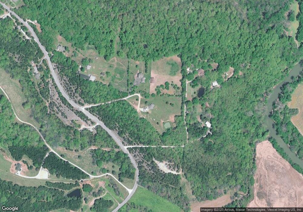
Map
Nearby Homes
- 1 Appomattox Ridge
- 9822 Woodland Rd
- 3333 Ketha Cir
- 3532 Ketha Heights
- 9448 Ponderosa Ln
- 132 Blue Ridge Trace
- 0 Hwy A 62 Acres Unit 20012897
- 2812 Heather Wood Lane (Lot 39 - Vacant Lot)
- 9365 Elm Loop Dr
- 2724 Niagara Falls Ct
- 10537 Victoria Falls Dr
- 2303 Garden Ln
- 1102 Stone Henge Ct
- 9213 Church Dr
- 251 Living Water Ct
- 2305 Wright Place
- 9341 Market St
- 176 Pancho Villa Dr
- 2313 Oak Forest Dr
- 211 Living Water Ct
- 9972 Woodland Rd
- 9972A Woodland Rd
- 9936 Woodland Rd
- 9943 Woodland Rd
- 10060 Woodland Rd
- 9922 Woodland Rd
- 9916 Woodland Rd
- 10009 Woodland Rd
- 9900 Woodland Rd
- 10 Appomattox Ridge
- 10107 Manassas Dr
- 9830 Woodland Rd
- 10119 Manassas Dr
- 10113 Manassas Dr
- 10125 Manassas Dr
- 10005 Woodland Rd
- 2 Appomattox Ridge
- 8 Appomattox Ridge
- 10131 Manassas Dr