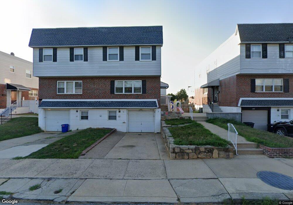
9944 Wingtip Rd Philadelphia, PA 19115
Bustleton NeighborhoodEstimated Value: $367,326 - $428,000
3
Beds
3
Baths
1,498
Sq Ft
$261/Sq Ft
Est. Value
About This Home
This home is located at 9944 Wingtip Rd, Philadelphia, PA 19115 and is currently estimated at $390,332, approximately $260 per square foot. 9944 Wingtip Rd is a home located in Philadelphia County with nearby schools including Frank Anne School, CCA Baldi Middle School, and George Washington High School.
Ownership History
Date
Name
Owned For
Owner Type
Purchase Details
Closed on
Jun 5, 2009
Sold by
Bevilacqua Mario and Bevilacqua Josephine
Bought by
Derose Carmen and Reed Brian M
Current Estimated Value
Home Financials for this Owner
Home Financials are based on the most recent Mortgage that was taken out on this home.
Original Mortgage
$206,196
Outstanding Balance
$131,328
Interest Rate
4.92%
Mortgage Type
FHA
Estimated Equity
$259,004
Purchase Details
Closed on
Apr 27, 1995
Sold by
Bevilacqua Lorenzo and Bevilacqua Vincenza
Bought by
Bevilacqua Mario and Bevilacqua Josephine
Create a Home Valuation Report for This Property
The Home Valuation Report is an in-depth analysis detailing your home's value as well as a comparison with similar homes in the area
Home Values in the Area
Average Home Value in this Area
Purchase History
| Date | Buyer | Sale Price | Title Company |
|---|---|---|---|
| Derose Carmen | $210,000 | None Available | |
| Bevilacqua Mario | -- | -- |
Source: Public Records
Mortgage History
| Date | Status | Borrower | Loan Amount |
|---|---|---|---|
| Open | Derose Carmen | $206,196 |
Source: Public Records
Tax History Compared to Growth
Tax History
| Year | Tax Paid | Tax Assessment Tax Assessment Total Assessment is a certain percentage of the fair market value that is determined by local assessors to be the total taxable value of land and additions on the property. | Land | Improvement |
|---|---|---|---|---|
| 2025 | $3,711 | $325,800 | $65,160 | $260,640 |
| 2024 | $3,711 | $325,800 | $65,160 | $260,640 |
| 2023 | $3,711 | $265,100 | $53,000 | $212,100 |
| 2022 | $2,343 | $220,100 | $53,000 | $167,100 |
| 2021 | $2,973 | $0 | $0 | $0 |
| 2020 | $2,973 | $0 | $0 | $0 |
| 2019 | $2,800 | $0 | $0 | $0 |
| 2018 | $2,611 | $0 | $0 | $0 |
| 2017 | $2,611 | $0 | $0 | $0 |
| 2016 | $2,191 | $0 | $0 | $0 |
| 2015 | $2,097 | $0 | $0 | $0 |
| 2014 | -- | $186,500 | $62,930 | $123,570 |
| 2012 | -- | $27,008 | $3,339 | $23,669 |
Source: Public Records
Map
Nearby Homes
- 9983 Sandy Rd
- 9987 Hardy Rd
- 9823 Bonner St
- 9990 Sandy Rd
- 9815 Cowden St
- 9782 Clark St
- 9839 Haldeman Ave
- 9837 Haldeman Ave
- 9854 Clark St
- 9926 Haldeman Unit#133 Ave
- 9759 Clark St
- 1961 President St
- 10135 Haldeman Ave
- 2044 Gorman St
- 9926 Haldeman Ave
- 1863 Merlin Rd
- 9921 Bustleton Ave Unit P3
- 1861 Kentwood St
- 1912 Tomlinson Rd
- 1251 Serota Place
- 9942 Wingtip Rd
- 9946 Wingtip Rd
- 9940 Wingtip Rd
- 9948 Wingtip Rd
- 9938 Wingtip Rd
- 9950 Wingtip Rd
- 9937 Sandy Rd
- 9933 Sandy Rd
- 9935 Sandy Rd
- 9939 Sandy Rd
- 9936 Wingtip Rd
- 9952 Wingtip Rd
- 9954 Wingtip Rd
- 9955 Wingtip Rd
- 9953 Wingtip Rd
- 9957 Wingtip Rd
- 9951 Wingtip Rd
- 9931 Sandy Rd
- 9941 Sandy Rd
- 9959 Wingtip Rd