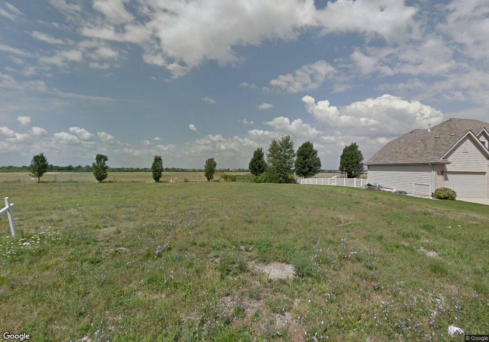
9948 New Devon St Munster, IN 46321
Estimated Value: $620,055 - $771,000
4
Beds
3
Baths
4,500
Sq Ft
$149/Sq Ft
Est. Value
About This Home
This home is located at 9948 New Devon St, Munster, IN 46321 and is currently estimated at $671,014, approximately $149 per square foot. 9948 New Devon St is a home with nearby schools including Nathan Hale Elementary School, Heritage Middle School, and Thornton Fractnl So High School.
Ownership History
Date
Name
Owned For
Owner Type
Purchase Details
Closed on
Mar 31, 2014
Sold by
Sampias Richard J and Sampias Gail M
Bought by
Mullen Kim E and Dycus Bobby J
Current Estimated Value
Home Financials for this Owner
Home Financials are based on the most recent Mortgage that was taken out on this home.
Original Mortgage
$280,000
Outstanding Balance
$205,486
Interest Rate
3.37%
Mortgage Type
Adjustable Rate Mortgage/ARM
Estimated Equity
$465,528
Purchase Details
Closed on
Aug 5, 2003
Sold by
Mercantile National Bank Of Indiana
Bought by
Sampias Richard J and Sampias Gail M
Create a Home Valuation Report for This Property
The Home Valuation Report is an in-depth analysis detailing your home's value as well as a comparison with similar homes in the area
Home Values in the Area
Average Home Value in this Area
Purchase History
| Date | Buyer | Sale Price | Title Company |
|---|---|---|---|
| Mullen Kim E | -- | Fidelity National Title Co | |
| Sampias Richard J | -- | None Available |
Source: Public Records
Mortgage History
| Date | Status | Borrower | Loan Amount |
|---|---|---|---|
| Open | Mullen Kim E | $280,000 |
Source: Public Records
Tax History
| Year | Tax Paid | Tax Assessment Tax Assessment Total Assessment is a certain percentage of the fair market value that is determined by local assessors to be the total taxable value of land and additions on the property. | Land | Improvement |
|---|---|---|---|---|
| 2025 | $6,966 | $598,500 | $131,500 | $467,000 |
| 2024 | $16,105 | $555,300 | $131,500 | $423,800 |
| 2023 | $6,652 | $526,800 | $92,700 | $434,100 |
| 2022 | $6,652 | $492,300 | $92,700 | $399,600 |
| 2021 | $6,370 | $470,100 | $86,600 | $383,500 |
| 2020 | $6,119 | $450,800 | $86,600 | $364,200 |
| 2019 | $5,930 | $450,000 | $86,600 | $363,400 |
| 2018 | $6,810 | $438,800 | $86,600 | $352,200 |
| 2017 | $6,732 | $432,900 | $82,400 | $350,500 |
| 2016 | $6,272 | $422,400 | $74,200 | $348,200 |
| 2014 | $2,247 | $74,200 | $74,200 | $0 |
| 2013 | $2,192 | $74,200 | $74,200 | $0 |
Source: Public Records
Map
Nearby Homes
- 116 Salisbury Dr
- 10057 New Devon St
- 9925 Whitehall Garden
- 10317 Margo Ln
- 444 Megan Way
- 3258 204th St
- 3030 201st St
- 20152 Juniper Ave
- 19265 Lange St
- 20777 Elwood St
- 19920 Erika Ct
- 605 Pierce Ave
- 20141 Redwood Ave
- 20813 Elwood St
- 20825 Elwood St
- 20137 Sequoia Ave
- 19723 Oakwood Ave
- 3328 193rd St
- 19609 Oakwood Ave
- 911 Westminster Ln
- 9956 New Devon St
- 9956 New Devon St
- 9940 New Devon St
- 10000 New Devon St
- 9932 New Devon St
- 9949 New Devon St
- 9957 New Devon St
- 9941 New Devon St
- 10008 New Devon St
- 9924 New Devon St
- 10001 New Devon St
- 9933 New Devon St
- 10009 New Devon St
- 9925 New Devon St
- 10016 New Devon St
- 9916 New Devon St
- 9917 New Devon St
- 10024 New Devon St
- 9908 New Devon St
Your Personal Tour Guide
Ask me questions while you tour the home.