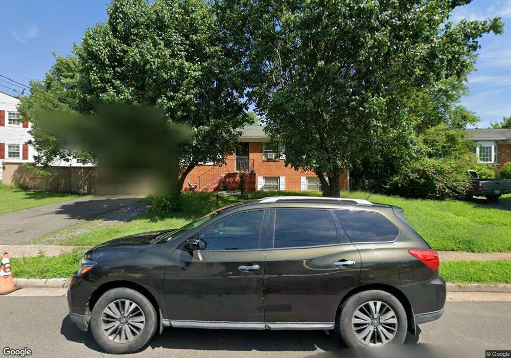
9950 Portsmouth Rd Manassas, VA 20109
Estimated Value: $469,000 - $551,000
5
Beds
3
Baths
1,846
Sq Ft
$278/Sq Ft
Est. Value
About This Home
This home is located at 9950 Portsmouth Rd, Manassas, VA 20109 and is currently estimated at $512,656, approximately $277 per square foot. 9950 Portsmouth Rd is a home located in Prince William County with nearby schools including West Gate Elementary School, Unity Braxton Middle School, and Unity Reed High School.
Ownership History
Date
Name
Owned For
Owner Type
Purchase Details
Closed on
Jul 9, 2008
Sold by
Perez Andres
Bought by
Luna Rosalio V
Current Estimated Value
Home Financials for this Owner
Home Financials are based on the most recent Mortgage that was taken out on this home.
Original Mortgage
$144,728
Outstanding Balance
$93,841
Interest Rate
6.17%
Mortgage Type
FHA
Estimated Equity
$418,815
Purchase Details
Closed on
Jul 22, 2005
Sold by
Rose Annette M
Bought by
Perez Andres
Create a Home Valuation Report for This Property
The Home Valuation Report is an in-depth analysis detailing your home's value as well as a comparison with similar homes in the area
Home Values in the Area
Average Home Value in this Area
Purchase History
| Date | Buyer | Sale Price | Title Company |
|---|---|---|---|
| Luna Rosalio V | $147,000 | -- | |
| Perez Andres | $449,500 | -- |
Source: Public Records
Mortgage History
| Date | Status | Borrower | Loan Amount |
|---|---|---|---|
| Open | Luna Rosalio V | $144,728 |
Source: Public Records
Tax History Compared to Growth
Tax History
| Year | Tax Paid | Tax Assessment Tax Assessment Total Assessment is a certain percentage of the fair market value that is determined by local assessors to be the total taxable value of land and additions on the property. | Land | Improvement |
|---|---|---|---|---|
| 2025 | $4,020 | $421,000 | $140,900 | $280,100 |
| 2024 | $4,020 | $404,200 | $129,900 | $274,300 |
| 2023 | $3,853 | $370,300 | $111,800 | $258,500 |
| 2022 | $4,192 | $368,200 | $111,800 | $256,400 |
| 2021 | $4,075 | $331,200 | $101,600 | $229,600 |
| 2020 | $4,890 | $315,500 | $101,600 | $213,900 |
| 2019 | $4,743 | $306,000 | $101,600 | $204,400 |
| 2018 | $3,410 | $282,400 | $101,600 | $180,800 |
| 2017 | $3,405 | $273,100 | $91,700 | $181,400 |
| 2016 | $3,398 | $275,200 | $91,700 | $183,500 |
| 2015 | $2,697 | $251,400 | $83,200 | $168,200 |
| 2014 | $2,697 | $212,000 | $70,400 | $141,600 |
Source: Public Records
Map
Nearby Homes
- 9929 Loudoun Ave
- 8355 Irongate Way
- 7832 Brookview Ct
- 7823 Brookview Ct
- Matisse Plan at Lomond Village - Condos
- Picasso Plan at Lomond Village - Condos
- Strauss End Unit Plan at Lomond Village
- 7608 Bland Dr
- 8393 Scotland Loop
- 9920 Whitemoss Dr
- 7905 Brighton Way
- 8429 Girvan Ct
- 9724 Copeland Dr
- 7699 Callan Dr
- 7530 Campbell Ct
- 8555 Fortrose Dr
- 9732 Copeland Dr
- 9613 King George Dr
- 7518 Quail Run Ln
- 8323 Rolling Rd
- 9948 Portsmouth Rd
- 8011 Urbanna Rd
- 8009 Urbanna Rd
- 9946 Portsmouth Rd
- 9931 Henrico St
- 9929 Henrico St
- 9949 Portsmouth Rd
- 8007 Urbanna Rd
- 8015 Urbanna Rd
- 9947 Portsmouth Rd
- 9927 Henrico St
- 9944 Portsmouth Rd
- 9945 Portsmouth Rd
- 9925 Henrico St
- 8014 Urbanna Rd
- 8012 Urbanna Rd
- 8017 Urbanna Rd
- 9942 Portsmouth Rd
- 9943 Portsmouth Rd
- 8010 Urbanna Rd