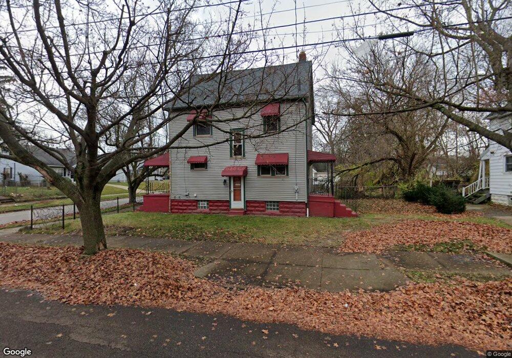
996 Snyder St Akron, OH 44307
Sherbondy Hill NeighborhoodEstimated Value: $42,000 - $76,000
3
Beds
1
Bath
1,373
Sq Ft
$44/Sq Ft
Est. Value
About This Home
This home is located at 996 Snyder St, Akron, OH 44307 and is currently estimated at $60,169, approximately $43 per square foot. 996 Snyder St is a home located in Summit County with nearby schools including St. Bernard-St. Mary Elementary School.
Ownership History
Date
Name
Owned For
Owner Type
Purchase Details
Closed on
Aug 20, 2020
Sold by
Harris Cheryl A
Bought by
Miller Lynnette L
Current Estimated Value
Purchase Details
Closed on
May 17, 2007
Sold by
Miller Linda J
Bought by
Miller Lynnette L and Harris Cheryl A
Purchase Details
Closed on
Apr 13, 2007
Sold by
Miller Gladys
Bought by
Miller Lynnette L and Harris Cheryl A
Purchase Details
Closed on
Nov 22, 2006
Sold by
Miller Gladys
Bought by
Miller Lynnette L and Harris Cheryl A
Purchase Details
Closed on
Nov 1, 2006
Sold by
Warfield Etola V
Bought by
Miller Gladys
Create a Home Valuation Report for This Property
The Home Valuation Report is an in-depth analysis detailing your home's value as well as a comparison with similar homes in the area
Home Values in the Area
Average Home Value in this Area
Purchase History
| Date | Buyer | Sale Price | Title Company |
|---|---|---|---|
| Miller Lynnette L | $8,645 | None Available | |
| Miller Lynnette L | $7,222 | Attorney | |
| Miller Lynnette L | $7,222 | Attorney | |
| Miller Lynnette L | -- | Attorney | |
| Miller Lynnette L | -- | Attorney | |
| Miller Gladys | -- | Attorney |
Source: Public Records
Tax History Compared to Growth
Tax History
| Year | Tax Paid | Tax Assessment Tax Assessment Total Assessment is a certain percentage of the fair market value that is determined by local assessors to be the total taxable value of land and additions on the property. | Land | Improvement |
|---|---|---|---|---|
| 2025 | $755 | $11,250 | $2,811 | $8,439 |
| 2024 | $755 | $11,250 | $2,811 | $8,439 |
| 2023 | $755 | $11,250 | $2,811 | $8,439 |
| 2022 | $606 | $6,619 | $1,656 | $4,963 |
| 2021 | $606 | $6,619 | $1,656 | $4,963 |
| 2020 | $600 | $6,620 | $1,660 | $4,960 |
| 2019 | $602 | $6,050 | $2,280 | $3,770 |
| 2018 | $596 | $6,050 | $2,280 | $3,770 |
| 2017 | $612 | $6,050 | $2,280 | $3,770 |
| 2016 | $612 | $6,170 | $2,280 | $3,890 |
| 2015 | $612 | $6,170 | $2,280 | $3,890 |
| 2014 | $608 | $6,170 | $2,280 | $3,890 |
| 2013 | $645 | $6,820 | $2,280 | $4,540 |
Source: Public Records
Map
Nearby Homes
- 949 Raymond St
- 1063 Raymond St
- 1001 Celina Ave
- 364 Campbell St
- 1132 Bristol Terrace
- 677 Vernon Odom Blvd
- 817 Raymond St
- 721 Vernon Odom Blvd
- 834 Kenyon St
- 737 Vernon Odom Blvd
- 794 Ruth Ave
- 1174 La Croix Ave
- 963 Penn Ave
- 639 Bellevue Ave
- 810 Amherst St
- 776 Krause Ct
- 738 Longview Ave
- 985 Diana Ave
- 564 Euclid Ave
- 849 Amherst St