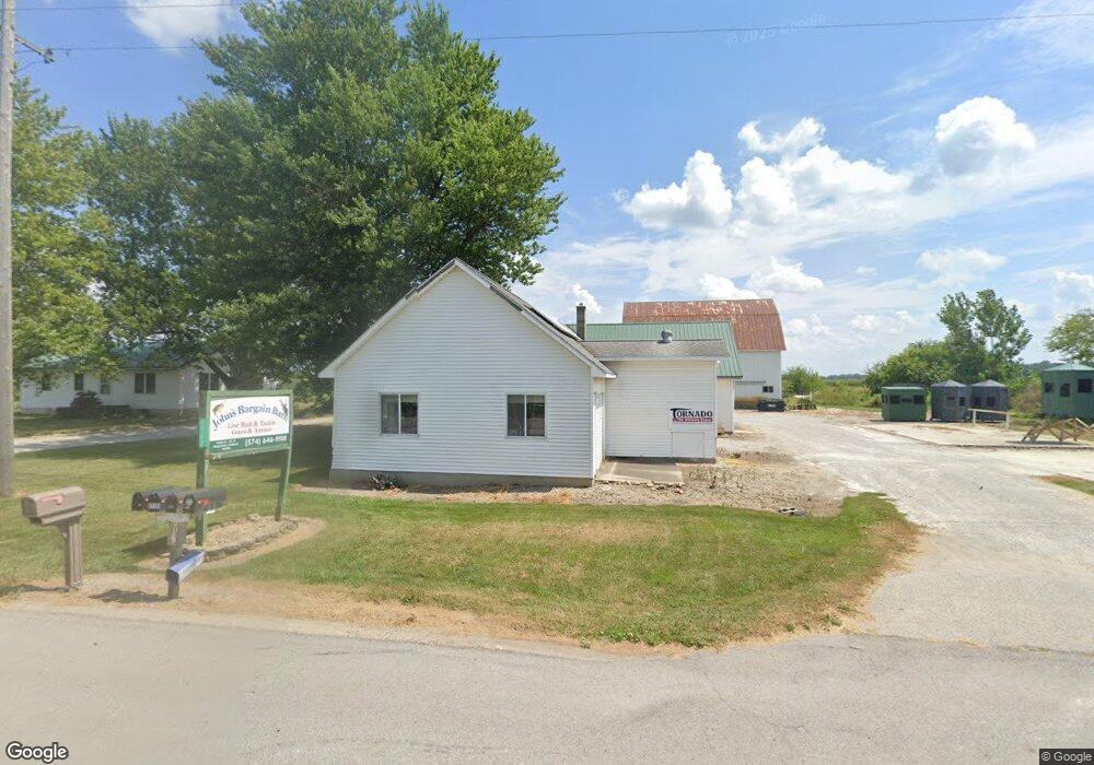
9962 N State Road 19 Nappanee, IN 46550
Estimated Value: $282,000 - $369,000
2
Beds
1
Bath
1,120
Sq Ft
$280/Sq Ft
Est. Value
About This Home
This home is located at 9962 N State Road 19, Nappanee, IN 46550 and is currently estimated at $313,704, approximately $280 per square foot. 9962 N State Road 19 is a home located in Kosciusko County with nearby schools including NorthWood High School, Pleasant Valley School, and Maple Grove Amish School.
Ownership History
Date
Name
Owned For
Owner Type
Purchase Details
Closed on
Jul 21, 2014
Sold by
Yoder John H and Yoder Anna C
Bought by
Ammf Trustee Corporation and Amish Mutual Mortgage Fund
Current Estimated Value
Purchase Details
Closed on
Oct 18, 2013
Sold by
Borkholder Darrell L and Borkholder Lorene
Bought by
Yoder Ii John H and Yoder Anna C
Home Financials for this Owner
Home Financials are based on the most recent Mortgage that was taken out on this home.
Original Mortgage
$136,000
Interest Rate
4.87%
Mortgage Type
Adjustable Rate Mortgage/ARM
Purchase Details
Closed on
Jun 20, 2000
Sold by
Mullet Issac B and Mullet Katie I
Bought by
Borkholder Carrell L and Borkholder Lorene
Create a Home Valuation Report for This Property
The Home Valuation Report is an in-depth analysis detailing your home's value as well as a comparison with similar homes in the area
Home Values in the Area
Average Home Value in this Area
Purchase History
| Date | Buyer | Sale Price | Title Company |
|---|---|---|---|
| Ammf Trustee Corporation | -- | None Available | |
| Yoder Ii John H | -- | None Available | |
| Brokholder Darrell L | -- | None Available | |
| Borkholder Carrell L | $76,907 | -- |
Source: Public Records
Mortgage History
| Date | Status | Borrower | Loan Amount |
|---|---|---|---|
| Previous Owner | Yoder Ii John H | $136,000 |
Source: Public Records
Tax History Compared to Growth
Tax History
| Year | Tax Paid | Tax Assessment Tax Assessment Total Assessment is a certain percentage of the fair market value that is determined by local assessors to be the total taxable value of land and additions on the property. | Land | Improvement |
|---|---|---|---|---|
| 2024 | $1,671 | $220,500 | $49,300 | $171,200 |
| 2023 | $1,763 | $222,700 | $48,300 | $174,400 |
| 2022 | $1,702 | $211,000 | $47,300 | $163,700 |
| 2021 | $1,443 | $176,000 | $46,700 | $129,300 |
| 2020 | $1,344 | $167,100 | $41,400 | $125,700 |
| 2019 | $1,280 | $161,500 | $42,000 | $119,500 |
| 2018 | $1,332 | $159,600 | $48,100 | $111,500 |
| 2017 | $1,139 | $154,500 | $48,300 | $106,200 |
| 2016 | $1,127 | $148,000 | $45,000 | $103,000 |
| 2014 | $1,270 | $148,500 | $39,700 | $108,800 |
| 2013 | $1,270 | $133,900 | $44,600 | $89,300 |
Source: Public Records
Map
Nearby Homes
- 9135 W 750 N
- 652 Bungalow Dr
- 751 S Locke St
- 401 W Indiana Ave
- 555 S Madison St
- 525 Miller's Ct
- 501 Pleasant Acres Dr
- 608 E Lincoln St
- 553 E Broad St
- 152 N Hartman St
- 754 W Market St
- VL US Highway 6
- 251 N Locke St
- 205 Highland St
- 357 N Main St
- 72355 County Road 3
- 701 N Elm St
- 556 Broad Ave
- 901 Northwood Dr
- 72193 County Road 9
- 9945 N State Road 19
- 10018 N State Road 19
- 7930 W 1000 N
- 10070 N State Road 19
- 7770 W 1000 N
- 10134 N State Road 19
- 7749 W 1000 N
- 9834 N State Road 19
- 10192 N State Road 19
- 7920 W 950 N
- 9765 N State Road 19
- 9492 N State Road 19
- 7730 W 950 N
- 7798 W 950 N
- 7812 W 950 N
- 7528 W 1000 N
- 10332 N State Road 19
- 9725 N State Road 19
- 7636 W 950 N
- 9679 N State Road 19