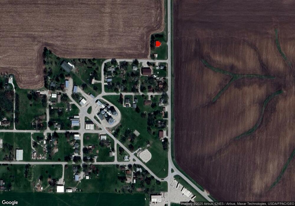
9969 Level Ave Killduff, IA 50137
Estimated Value: $214,000 - $256,000
3
Beds
2
Baths
1,328
Sq Ft
$177/Sq Ft
Est. Value
About This Home
This home is located at 9969 Level Ave, Killduff, IA 50137 and is currently estimated at $234,530, approximately $176 per square foot. 9969 Level Ave is a home with nearby schools including Lynnville-Sully Elementary School, Lynnville-Sully Middle School, and Lynnville-Sully High School.
Ownership History
Date
Name
Owned For
Owner Type
Purchase Details
Closed on
May 31, 2007
Sold by
Baarda Joellyn J Weideman and Baarda Kent
Bought by
Bell Mark R
Current Estimated Value
Create a Home Valuation Report for This Property
The Home Valuation Report is an in-depth analysis detailing your home's value as well as a comparison with similar homes in the area
Purchase History
| Date | Buyer | Sale Price | Title Company |
|---|---|---|---|
| Bell Mark R | $121,000 | None Available |
Source: Public Records
Tax History
| Year | Tax Paid | Tax Assessment Tax Assessment Total Assessment is a certain percentage of the fair market value that is determined by local assessors to be the total taxable value of land and additions on the property. | Land | Improvement |
|---|---|---|---|---|
| 2025 | $2,268 | $234,010 | $26,570 | $207,440 |
| 2024 | $2,268 | $212,030 | $26,570 | $185,460 |
| 2023 | $2,212 | $212,030 | $26,570 | $185,460 |
| 2022 | $1,940 | $170,820 | $26,570 | $144,250 |
| 2021 | $1,748 | $156,850 | $26,570 | $130,280 |
| 2020 | $1,748 | $135,990 | $24,780 | $111,210 |
| 2019 | $1,696 | $122,900 | $0 | $0 |
| 2018 | $1,696 | $122,900 | $0 | $0 |
| 2017 | $1,688 | $120,650 | $0 | $0 |
| 2016 | $1,688 | $120,650 | $0 | $0 |
| 2015 | $1,666 | $120,650 | $0 | $0 |
| 2014 | $1,620 | $0 | $0 | $0 |
Source: Public Records
Map
Nearby Homes
- 6657 E 78th St S
- 11790 Highway F62 E
- 5122 E 84th St S
- 705 N 2nd St
- 205 N 8th Ave
- 202 8th Ave
- 707 4th St
- 9553 Highway T 14 S
- 11377 S 100th Ave E
- 702 10th Ave
- 4311 E 68th St S
- 4683 Legion St Unit ST80
- 504 Cross St
- 113 1st St
- 700 Highway T38 S
- 309 Hillside Dr
- 7340 E 156th St S
- 507 Main St
- 5029 E 156th St S
- 506 Reuel Ave
Your Personal Tour Guide
Ask me questions while you tour the home.