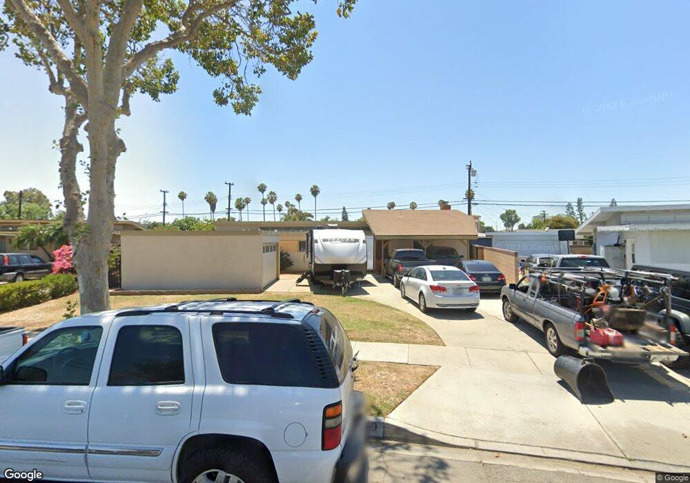
9969 Rutland Ave Whittier, CA 90605
South Whittier NeighborhoodEstimated Value: $807,000 - $859,885
3
Beds
2
Baths
1,800
Sq Ft
$462/Sq Ft
Est. Value
About This Home
This home is located at 9969 Rutland Ave, Whittier, CA 90605 and is currently estimated at $831,471, approximately $461 per square foot. 9969 Rutland Ave is a home located in Los Angeles County with nearby schools including Pioneer High School, St. Gregory The Great, and St. Paul High School.
Ownership History
Date
Name
Owned For
Owner Type
Purchase Details
Closed on
May 2, 2000
Sold by
Helen E Manson Trust and Carol
Bought by
Uribe Richard H and Uribe Brigette L
Current Estimated Value
Home Financials for this Owner
Home Financials are based on the most recent Mortgage that was taken out on this home.
Original Mortgage
$182,991
Interest Rate
8.53%
Mortgage Type
FHA
Create a Home Valuation Report for This Property
The Home Valuation Report is an in-depth analysis detailing your home's value as well as a comparison with similar homes in the area
Home Values in the Area
Average Home Value in this Area
Purchase History
| Date | Buyer | Sale Price | Title Company |
|---|---|---|---|
| Uribe Richard H | $184,500 | Southland Title |
Source: Public Records
Mortgage History
| Date | Status | Borrower | Loan Amount |
|---|---|---|---|
| Previous Owner | Uribe Richard H | $182,991 |
Source: Public Records
Tax History Compared to Growth
Tax History
| Year | Tax Paid | Tax Assessment Tax Assessment Total Assessment is a certain percentage of the fair market value that is determined by local assessors to be the total taxable value of land and additions on the property. | Land | Improvement |
|---|---|---|---|---|
| 2025 | $4,014 | $306,321 | $174,588 | $131,733 |
| 2024 | $4,014 | $300,315 | $171,165 | $129,150 |
| 2023 | $3,895 | $294,427 | $167,809 | $126,618 |
| 2022 | $3,915 | $288,655 | $164,519 | $124,136 |
| 2021 | $3,830 | $282,996 | $161,294 | $121,702 |
| 2019 | $3,762 | $274,605 | $156,511 | $118,094 |
| 2018 | $3,570 | $269,222 | $153,443 | $115,779 |
| 2016 | $3,383 | $258,770 | $147,486 | $111,284 |
| 2015 | $3,299 | $254,884 | $145,271 | $109,613 |
| 2014 | $3,269 | $249,892 | $142,426 | $107,466 |
Source: Public Records
Map
Nearby Homes
- 10246 Parkinson Ave
- 13414 Reis St
- 10123 Lanett Ave
- 13649 Reis St
- 13426 Anola St
- 13752 Bentongrove Dr
- 9551 Barkerville Ave
- 9534 Painter Ave
- 10849 Inez St
- 13856 Mulberry Dr
- 10745 Victoria Ave Unit 4
- 10745 Victoria Ave Unit 6
- 10745 Victoria Ave
- 14037 Mystic St
- 10035 Ben Hur Ave
- 14042 Hawes St
- 11116 Leland Ave
- 14076 Cornishcrest Rd
- 13535 Dunton Dr
- 14033 Oval Dr
- 9973 Rutland Ave
- 9963 Rutland Ave
- 10044 Carmenita Rd
- 10050 Carmenita Rd
- 10038 Carmenita Rd
- 9981 Rutland Ave
- 9955 Rutland Ave
- 10313 Lanett Ave
- 9966 Rutland Ave
- 10060 Carmenita Rd
- 10032 Carmenita Rd
- 10281 Lanett Ave
- 10321 Lanett Ave
- 9956 Rutland Ave
- 9949 Rutland Ave
- 10026 Carmenita Rd
- 10275 Lanett Ave
- 9950 Rutland Ave
- 9943 Rutland Ave
- 10331 Lanett Ave