997 Foxfire Trace Pittsboro, NC 27312
Estimated Value: $554,498 - $645,000
2
Beds
3
Baths
1,760
Sq Ft
$344/Sq Ft
Est. Value
About This Home
This home is located at 997 Foxfire Trace, Pittsboro, NC 27312 and is currently estimated at $605,166, approximately $343 per square foot. 997 Foxfire Trace is a home located in Chatham County with nearby schools including Pittsboro Elementary School, George Moses Horton Middle School, and Thales Academy Pittsboro Pre-K-6.
Ownership History
Date
Name
Owned For
Owner Type
Purchase Details
Closed on
Dec 31, 1996
Bought by
White Bobby Taylor
Current Estimated Value
Create a Home Valuation Report for This Property
The Home Valuation Report is an in-depth analysis detailing your home's value as well as a comparison with similar homes in the area
Home Values in the Area
Average Home Value in this Area
Purchase History
| Date | Buyer | Sale Price | Title Company |
|---|---|---|---|
| White Bobby Taylor | -- | -- |
Source: Public Records
Tax History Compared to Growth
Tax History
| Year | Tax Paid | Tax Assessment Tax Assessment Total Assessment is a certain percentage of the fair market value that is determined by local assessors to be the total taxable value of land and additions on the property. | Land | Improvement |
|---|---|---|---|---|
| 2025 | $3,877 | $523,903 | $74,230 | $449,673 |
| 2024 | $3,877 | $387,495 | $66,226 | $321,269 |
| 2023 | $3,499 | $387,495 | $66,226 | $321,269 |
| 2022 | $3,567 | $387,495 | $66,226 | $321,269 |
| 2021 | $3,570 | $387,495 | $66,226 | $321,269 |
| 2020 | $2,907 | $298,310 | $56,460 | $241,850 |
| 2019 | $2,495 | $299,060 | $56,460 | $242,600 |
| 2018 | $2,600 | $299,060 | $56,460 | $242,600 |
| 2017 | $2,625 | $299,060 | $56,460 | $242,600 |
| 2016 | $2,234 | $238,220 | $48,060 | $190,160 |
| 2015 | $2,205 | $238,220 | $48,060 | $190,160 |
| 2014 | $2,166 | $238,220 | $48,060 | $190,160 |
| 2013 | -- | $238,220 | $48,060 | $190,160 |
Source: Public Records
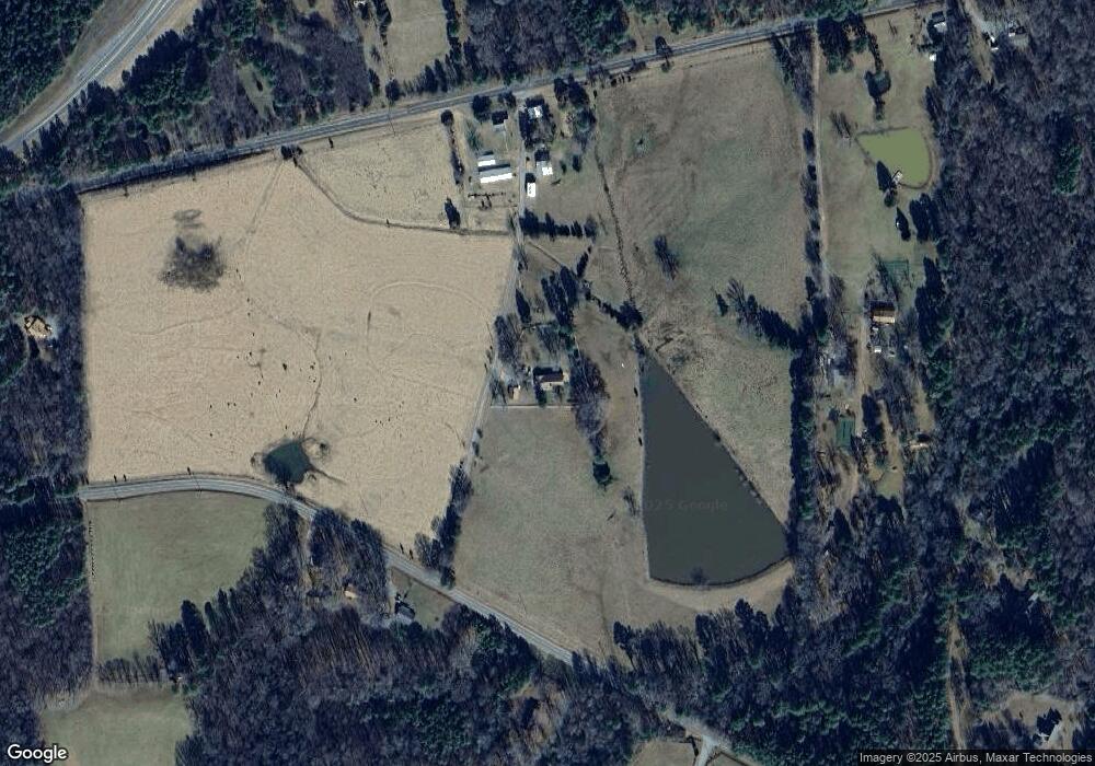
Map
Nearby Homes
- 245 Hanks Loop Rd
- 102 Peddler Mill Way Unit 23
- 226 Evington Dr
- 59 Riverstone Dr
- 186 Evington Dr
- 115 Evington Dr Unit 29
- 82 Stevens Creek Dr
- 240 Riverstone Dr
- 291 Riverstone Dr
- 387 Riverstone Dr
- 331 Beacon Dr
- 313 Parkland Dr
- 335 Beacon Dr
- 309 Beacon Dr
- 301 Beacon Dr
- 339 Beacon Dr
- 338 Beacon Dr
- 213 Beacon Dr
- 334 Beacon Dr
- 290 Beacon Dr
- 993 Foxfire Trace
- 1140 Hanks Chapel Rd
- 1098 Hanks Chapel Rd
- 839 Foxfire Trace
- 1034 & 1066 Hanks Chapel Rd
- 1034 Hanks Chapel Rd
- 1034 Hanks Chapel Rd
- 1034 Hanks Chapel Rd
- 835 Foxfire Trace
- 1186 Hanks Chapel Rd
- 898 Hanks Chapel Rd
- 891 Hanks Chapel Rd
- 1421 Hanks Chapel Rd
- 771 Foxfire Trace
- 1411 Hanks Chapel Rd
- 763 Foxfire Trace
- 770 Foxfire Trace
- 1394 Hanks Chapel Rd
- 1419 Hanks Chapel Rd
- 602 Dee Farrell Rd