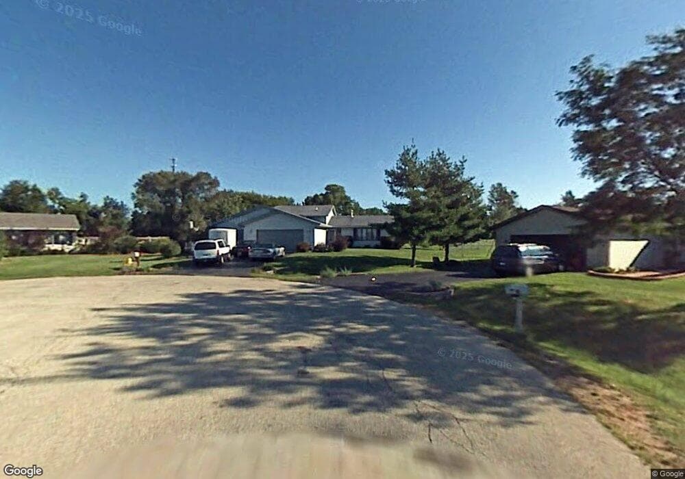
9971 Clay Ct Roscoe, IL 61073
Estimated Value: $291,576 - $333,000
3
Beds
2
Baths
2,030
Sq Ft
$152/Sq Ft
Est. Value
About This Home
This home is located at 9971 Clay Ct, Roscoe, IL 61073 and is currently estimated at $308,644, approximately $152 per square foot. 9971 Clay Ct is a home located in Winnebago County with nearby schools including Ledgewood Elementary School, Kinnikinnick School, and Stone Creek School.
Ownership History
Date
Name
Owned For
Owner Type
Purchase Details
Closed on
Mar 1, 2019
Sold by
Stjohn Randy R and Stjohn Catherine L
Bought by
Empereur Chad R 2019 Trust No
Current Estimated Value
Purchase Details
Closed on
Feb 28, 2019
Sold by
Stjohn Randy R and Stjohn Catherine L
Bought by
Empereur Chad R 2019 Trust No
Purchase Details
Closed on
Jul 17, 2007
Bought by
Empereur Chad R and Empereur Dawn R
Create a Home Valuation Report for This Property
The Home Valuation Report is an in-depth analysis detailing your home's value as well as a comparison with similar homes in the area
Home Values in the Area
Average Home Value in this Area
Purchase History
| Date | Buyer | Sale Price | Title Company |
|---|---|---|---|
| Empereur Chad R 2019 Trust No | -- | Mtc | |
| Empereur Chad R 2019 Trust No | -- | Mtc | |
| Chad R Empereur Trust | -- | Holmstromkennedypc | |
| Chad R Empereur Trust | -- | Holmstromkennedypc | |
| Empereur Chad R | $175,000 | -- |
Source: Public Records
Tax History
| Year | Tax Paid | Tax Assessment Tax Assessment Total Assessment is a certain percentage of the fair market value that is determined by local assessors to be the total taxable value of land and additions on the property. | Land | Improvement |
|---|---|---|---|---|
| 2024 | $5,838 | $74,787 | $13,383 | $61,404 |
| 2022 | $5,286 | $60,578 | $10,840 | $49,738 |
| 2021 | $4,981 | $54,998 | $10,082 | $44,916 |
| 2020 | $4,586 | $53,669 | $9,604 | $44,065 |
| 2019 | $4,693 | $50,182 | $9,199 | $40,983 |
| 2018 | $4,921 | $48,895 | $8,897 | $39,998 |
| 2017 | $4,937 | $47,554 | $8,653 | $38,901 |
| 2016 | $4,851 | $46,608 | $8,481 | $38,127 |
| 2015 | $4,813 | $45,793 | $8,333 | $37,460 |
| 2014 | $4,527 | $43,921 | $4,943 | $38,978 |
Source: Public Records
Map
Nearby Homes
- 6395 Greystone
- 6346 Smoke Tree Cir
- 9573 Twin Deer Run
- 7334 Hawthorne Ridge
- 9208 Sheringham Dr
- 5651 Thompson Dr
- 0000 Joncey Dr
- 5790 Ada Dr
- 10107 Atwood Rd
- 7822 Burr Oak Rd
- 10582 Atwood Rd
- 8451 Mitchell Rd
- 5518 White Pine Ln
- 8686 Dutch Elm Ct
- 5488 Mahogany Ln
- 8535 Springwood Ct
- 5476 Ebonywood Ln
- 5383 Mahogany Ln
- 5421 Ebonywood Ln
- 11831 Bowen Pkwy
- 9959 Clay Ct
- 9972 Clay Ct
- 9937 Clay Ct
- 9960 Clay Ct
- 6557 Barkridge Rd
- 6541 Barkridge Rd
- 9934 Clay Ct
- 6525 Barkridge Rd
- 6601 Barkridge Rd
- 9915 Clay Ct
- 9918 Flint Ct
- 9908 Clay Ct
- 9904 Flint Ct
- 9981 Applegate Dr
- 9959 Applegate Dr
- 6538 Barkridge Rd
- 9903 Clay Ct
- 6617 Barkridge Rd
- 9932 Flint Ct
- 9937 Applegate Dr
Your Personal Tour Guide
Ask me questions while you tour the home.