9972A Woodland Rd Hillsboro, MO 63050
Estimated Value: $186,000 - $442,740
--
Bed
--
Bath
1,363
Sq Ft
$240/Sq Ft
Est. Value
About This Home
This home is located at 9972A Woodland Rd, Hillsboro, MO 63050 and is currently estimated at $327,435, approximately $240 per square foot. 9972A Woodland Rd is a home with nearby schools including Hillsboro Primary School, Hillsboro Elementary School, and Hillsboro Middle Elementary School.
Ownership History
Date
Name
Owned For
Owner Type
Purchase Details
Closed on
May 23, 2025
Sold by
Michaelis Paul D and Michaelis Diane
Bought by
Mcfarland Karen Lee and Schaefer Betty Jo
Current Estimated Value
Purchase Details
Closed on
May 14, 2025
Sold by
Pooker Dale
Bought by
Pooker Bonnie M
Purchase Details
Closed on
Nov 14, 2000
Sold by
Michaelis and Carolin
Bought by
Michaelis Family Trust
Create a Home Valuation Report for This Property
The Home Valuation Report is an in-depth analysis detailing your home's value as well as a comparison with similar homes in the area
Home Values in the Area
Average Home Value in this Area
Purchase History
| Date | Buyer | Sale Price | Title Company |
|---|---|---|---|
| Mcfarland Karen Lee | -- | Investors Title Company | |
| Pooker Bonnie M | -- | None Listed On Document | |
| Michaelis Family Trust | -- | -- |
Source: Public Records
Tax History Compared to Growth
Tax History
| Year | Tax Paid | Tax Assessment Tax Assessment Total Assessment is a certain percentage of the fair market value that is determined by local assessors to be the total taxable value of land and additions on the property. | Land | Improvement |
|---|---|---|---|---|
| 2025 | $2,357 | $39,200 | $15,400 | $23,800 |
| 2024 | $2,357 | $37,900 | $15,400 | $22,500 |
| 2023 | $2,357 | $37,900 | $15,400 | $22,500 |
| 2022 | $2,396 | $37,900 | $15,400 | $22,500 |
| 2021 | $2,562 | $37,900 | $15,400 | $22,500 |
| 2020 | $2,383 | $34,200 | $14,000 | $20,200 |
| 2019 | $2,383 | $34,200 | $14,000 | $20,200 |
| 2018 | $2,383 | $34,200 | $14,000 | $20,200 |
| 2017 | $2,263 | $34,200 | $14,000 | $20,200 |
| 2016 | $2,162 | $32,100 | $14,000 | $18,100 |
| 2015 | $1,927 | $32,100 | $14,000 | $18,100 |
| 2013 | $1,927 | $30,800 | $12,800 | $18,000 |
Source: Public Records
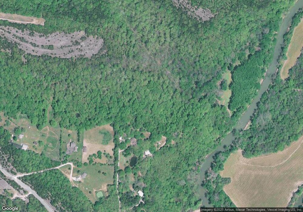
Map
Nearby Homes
- 1 Appomattox Ridge
- 9822 Woodland Rd
- 3333 Ketha Cir
- 9448 Ponderosa Ln
- 3532 Ketha Heights
- 132 Blue Ridge Trace
- 0 Hwy A 62 Acres Unit 20012897
- 2812 Heather Wood Lane (Lot 39 - Vacant Lot)
- 9365 Elm Loop Dr
- 1102 Stone Henge Ct
- 9213 Church Dr
- 2303 Garden Ln
- 10537 Victoria Falls Dr
- 251 Living Water Ct
- 2724 Niagara Falls Ct
- 2305 Wright Place
- 9341 Market St
- 2313 Oak Forest Dr
- 211 Living Water Ct
- 1814 Waters Edge Way
- 9972 Woodland Rd
- 9940 Woodland Rd
- 9922 Woodland Rd
- 9936 Woodland Rd
- 9943 Woodland Rd
- 10060 Woodland Rd
- 9916 Woodland Rd
- 9900 Woodland Rd
- 9830 Woodland Rd
- 10107 Manassas Dr
- 2930 Pannell Dr
- 2934 Pannell Dr
- 0 Lot 43 Lake Louise Unit 16068820
- 3004 Buttice Ct
- 3000 Buttice Ct
- 10113 Manassas Dr
- 10119 Manassas Dr
- 10009 Woodland Rd
- 2925 Pannell Dr