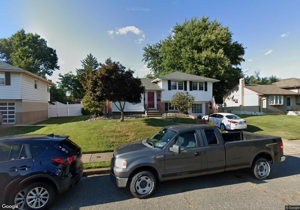
9984 Wistaria St Philadelphia, PA 19115
Bustleton NeighborhoodEstimated Value: $432,273 - $556,000
--
Bed
--
Bath
1,730
Sq Ft
$286/Sq Ft
Est. Value
About This Home
This home is located at 9984 Wistaria St, Philadelphia, PA 19115 and is currently estimated at $495,568, approximately $286 per square foot. 9984 Wistaria St is a home located in Philadelphia County with nearby schools including Frank Anne School, CCA Baldi Middle School, and George Washington High School.
Ownership History
Date
Name
Owned For
Owner Type
Purchase Details
Closed on
Sep 2, 2004
Sold by
Scornaienchi Lee and Scornaienchi Natalie
Bought by
Devine James and Devine Theresa
Current Estimated Value
Home Financials for this Owner
Home Financials are based on the most recent Mortgage that was taken out on this home.
Original Mortgage
$228,800
Outstanding Balance
$114,863
Interest Rate
6.08%
Mortgage Type
Purchase Money Mortgage
Estimated Equity
$380,705
Create a Home Valuation Report for This Property
The Home Valuation Report is an in-depth analysis detailing your home's value as well as a comparison with similar homes in the area
Home Values in the Area
Average Home Value in this Area
Purchase History
| Date | Buyer | Sale Price | Title Company |
|---|---|---|---|
| Devine James | $286,000 | Lawyers Title Ins |
Source: Public Records
Mortgage History
| Date | Status | Borrower | Loan Amount |
|---|---|---|---|
| Open | Devine James | $228,800 | |
| Closed | Devine James | $42,900 |
Source: Public Records
Tax History Compared to Growth
Tax History
| Year | Tax Paid | Tax Assessment Tax Assessment Total Assessment is a certain percentage of the fair market value that is determined by local assessors to be the total taxable value of land and additions on the property. | Land | Improvement |
|---|---|---|---|---|
| 2025 | $4,430 | $411,000 | $82,200 | $328,800 |
| 2024 | $4,430 | $411,000 | $82,200 | $328,800 |
| 2023 | $4,430 | $316,500 | $63,300 | $253,200 |
| 2022 | $3,025 | $271,500 | $63,300 | $208,200 |
| 2021 | $3,655 | $0 | $0 | $0 |
| 2020 | $3,655 | $0 | $0 | $0 |
| 2019 | $3,500 | $0 | $0 | $0 |
| 2018 | $2,956 | $0 | $0 | $0 |
| 2017 | $3,376 | $0 | $0 | $0 |
| 2016 | $2,956 | $0 | $0 | $0 |
| 2015 | $2,830 | $0 | $0 | $0 |
| 2014 | -- | $241,200 | $111,794 | $129,406 |
| 2012 | -- | $34,464 | $10,286 | $24,178 |
Source: Public Records
Map
Nearby Homes
- 9990 Sandy Rd
- 9987 Hardy Rd
- 9983 Sandy Rd
- 10135 Haldeman Ave
- 2044 Gorman St
- 1863 Merlin Rd
- 9926 Haldeman Unit#133 Ave
- 9839 Haldeman Ave
- 9837 Haldeman Ave
- 9823 Bonner St
- 1861 Kentwood St
- 9926 Haldeman Ave
- 9815 Cowden St
- 1912 Tomlinson Rd
- 9854 Clark St
- 9921 Bustleton Ave Unit P3
- 1724 Nathaniel Dr
- 1207 Friel Place
- 10103 Northeast Ave Unit 9
- 9782 Clark St
- 9982 Wistaria St
- 9986 Wistaria St
- 9987 Haldeman Ave
- 9985 Haldeman Ave
- 9989 Haldeman Ave
- 9980 Wistaria St
- 9983 Haldeman Ave
- 9988 Wistaria St
- 9981 Wistaria St
- 9991 Haldeman Ave
- 9981 Haldeman Ave
- 9978 Wistaria St
- 9990 Hardy Rd
- 9998 Sandy Rd
- 9990 Wistaria St
- 9993 Haldeman Ave
- 9979 Haldeman Ave
- 9993 Hardy Rd
- 9996 Sandy Rd
- 9988 Hardy Rd