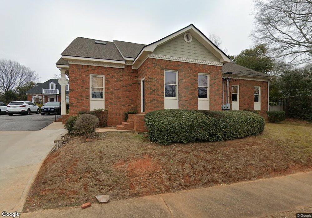
999 Baxter St Athens, GA 30606
Five Points NeighborhoodEstimated Value: $797,192
--
Bed
--
Bath
4,624
Sq Ft
$172/Sq Ft
Est. Value
About This Home
This home is located at 999 Baxter St, Athens, GA 30606 and is currently estimated at $797,192, approximately $172 per square foot. 999 Baxter St is a home located in Clarke County with nearby schools including Barrow Elementary School, Clarke Middle School, and Clarke Central High School.
Ownership History
Date
Name
Owned For
Owner Type
Purchase Details
Closed on
Jul 20, 2005
Sold by
Carter E Curtis
Bought by
Peterson Chris
Current Estimated Value
Purchase Details
Closed on
Dec 23, 2000
Sold by
Carter E Curtis Randall E Vick
Bought by
Carter E Curtis
Purchase Details
Closed on
Jan 1, 1994
Sold by
Verde Carter E and Verde Charles J
Bought by
Carter Carter E and Carter Bi
Purchase Details
Closed on
Dec 17, 1990
Sold by
Ray James B and Ray Miriam L
Bought by
Verde Carter E and Verde Charles J
Purchase Details
Closed on
Sep 24, 1990
Sold by
First Federal Savings Bank Of Ga
Bought by
Ray James B and Ray Miriam L
Purchase Details
Closed on
Jun 14, 1990
Sold by
Skipper Floyd & Minnie Jane By Aif
Bought by
First Federal Savings Bank Of Ga
Create a Home Valuation Report for This Property
The Home Valuation Report is an in-depth analysis detailing your home's value as well as a comparison with similar homes in the area
Home Values in the Area
Average Home Value in this Area
Purchase History
| Date | Buyer | Sale Price | Title Company |
|---|---|---|---|
| Peterson Chris | $325,000 | -- | |
| Carter E Curtis | -- | -- | |
| Carter Carter E | $172,000 | -- | |
| Verde Carter E | $171,000 | -- | |
| Ray James B | $167,000 | -- | |
| First Federal Savings Bank Of Ga | $190,000 | -- |
Source: Public Records
Tax History Compared to Growth
Tax History
| Year | Tax Paid | Tax Assessment Tax Assessment Total Assessment is a certain percentage of the fair market value that is determined by local assessors to be the total taxable value of land and additions on the property. | Land | Improvement |
|---|---|---|---|---|
| 2025 | $5,768 | $185,762 | $78,246 | $107,516 |
| 2024 | $5,805 | $185,762 | $78,246 | $107,516 |
| 2023 | $5,805 | $185,762 | $78,246 | $107,516 |
| 2022 | $5,438 | $170,480 | $78,246 | $92,234 |
| 2021 | $5,162 | $153,168 | $78,246 | $74,922 |
| 2020 | $5,162 | $153,168 | $78,246 | $74,922 |
| 2019 | $5,200 | $153,168 | $78,246 | $74,922 |
| 2018 | $5,200 | $153,168 | $78,246 | $74,922 |
| 2017 | $5,204 | $153,283 | $78,246 | $75,037 |
| 2016 | $5,204 | $153,282 | $78,246 | $75,036 |
| 2015 | $5,212 | $153,282 | $78,246 | $75,036 |
| 2014 | $5,219 | $153,283 | $78,246 | $75,037 |
Source: Public Records
Map
Nearby Homes
- 338 Springdale St
- 265 Springdale St
- 577 W Cloverhurst Ave
- 255 Bloomfield St
- 597 Dearing St
- 206 Fortson Dr
- 997 S Milledge Ave Unit 2
- 997 S Milledge Ave Unit 3
- 997 S Milledge Ave Unit 1
- 997 S Milledge Ave Unit 4
- 1226 W Broad St
- 224 Fortson Dr
- 494 Baxter St Unit 32
- 365 S Church St Unit 1A, 1B, 1C
- 1398 W Hancock Ave
- 277 Evans St
- 433 S Rocksprings St
- 437 S Rocksprings St
- 439 S Rocksprings St
- 441 S Rocksprings St
- 1005 Baxter St
- 443 S Rocksprings St
- 430 S Rocksprings St
- 447 S Rocksprings St
- 440 S Rocksprings St
- Lot 1 Block A
- 975 Baxter St
- 975 Baxter St
- 975 Baxter St
- 975 Baxter St
- 975 Baxter St
- 975 Baxter St
- 975 Baxter St
- 975 Baxter St
- 975 Baxter St
- 975 Baxter St