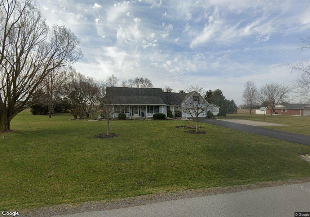
9998 Rockport Rd Bluffton, OH 45817
Estimated Value: $310,000 - $410,000
3
Beds
3
Baths
2,228
Sq Ft
$167/Sq Ft
Est. Value
About This Home
This home is located at 9998 Rockport Rd, Bluffton, OH 45817 and is currently estimated at $372,486, approximately $167 per square foot. 9998 Rockport Rd is a home located in Allen County with nearby schools including Bluffton Elementary School, Bluffton Middle School, and Bluffton High School.
Ownership History
Date
Name
Owned For
Owner Type
Purchase Details
Closed on
Jul 24, 1995
Sold by
Johns Loren
Bought by
Neal Guy and Neal Diane
Current Estimated Value
Home Financials for this Owner
Home Financials are based on the most recent Mortgage that was taken out on this home.
Original Mortgage
$114,800
Interest Rate
7.5%
Mortgage Type
New Conventional
Purchase Details
Closed on
Jun 9, 1993
Sold by
Klay John W
Bought by
Johns Loren and Johns Rachel
Create a Home Valuation Report for This Property
The Home Valuation Report is an in-depth analysis detailing your home's value as well as a comparison with similar homes in the area
Home Values in the Area
Average Home Value in this Area
Purchase History
| Date | Buyer | Sale Price | Title Company |
|---|---|---|---|
| Neal Guy | $143,500 | -- | |
| Johns Loren | $12,000 | -- |
Source: Public Records
Mortgage History
| Date | Status | Borrower | Loan Amount |
|---|---|---|---|
| Closed | Neal Guy | $114,800 |
Source: Public Records
Tax History Compared to Growth
Tax History
| Year | Tax Paid | Tax Assessment Tax Assessment Total Assessment is a certain percentage of the fair market value that is determined by local assessors to be the total taxable value of land and additions on the property. | Land | Improvement |
|---|---|---|---|---|
| 2024 | $3,656 | $112,080 | $13,130 | $98,950 |
| 2023 | $2,902 | $82,430 | $9,660 | $72,770 |
| 2022 | $2,925 | $82,180 | $9,660 | $72,520 |
| 2021 | $2,945 | $82,180 | $9,660 | $72,520 |
| 2020 | $3,000 | $75,570 | $8,820 | $66,750 |
| 2019 | $3,000 | $75,570 | $8,820 | $66,750 |
| 2018 | $3,011 | $75,570 | $8,820 | $66,750 |
| 2017 | $2,569 | $64,440 | $8,820 | $55,620 |
| 2016 | $2,576 | $64,440 | $8,820 | $55,620 |
| 2015 | $2,733 | $64,440 | $8,820 | $55,620 |
| 2014 | $2,733 | $66,230 | $8,650 | $57,580 |
| 2013 | $2,534 | $66,230 | $8,650 | $57,580 |
Source: Public Records
Map
Nearby Homes
- 8900 N Dixie Hwy
- 333 Parkview Dr
- 331 Parkview Dr
- 329 Parkview Dr
- 327 Parkview Dr
- 321 Parkview Dr
- 319 Parkview Dr
- 317 Parkview Dr
- 315 Parkview Dr
- 313 Parkview Dr
- 307 Parkview Dr
- 305 Parkview Dr
- 303 Parkview Dr
- 301 Parkview Dr
- 513 S Jackson St
- 0 Columbus Grove-Bluffton Rd
- 430 S Jackson St
- 182 Sunset Dr
- 217 Grove St
- 222 Grove St
- 10050 Rockport Rd
- 9970 Rockport Rd
- 10003 Rockport Rd
- 10045 Rockport Rd
- 9977 Rockport Rd
- 10110 Rockport Rd
- 10099 Rockport Rd
- 9910 Rockport Rd
- 9357 Dixie Hwy
- 10115 Rockport Rd
- 9911 Rockport Rd
- 9411 Dixie Hwy
- 10133 Rockport Rd
- 10140 Rockport Rd
- TBD N Dixie Hwy
- 9364 Dixie Hwy
- 9380 Dixie Hwy
- 9348 Dixie Hwy