9999 Case Ave Rootstown, OH 44272
Estimated Value: $15,518 - $138,000
Studio
--
Bath
--
Sq Ft
141,134
Sq Ft Lot
About This Home
This home is located at 9999 Case Ave, Rootstown, OH 44272 and is currently estimated at $96,839. 9999 Case Ave is a home located in Portage County with nearby schools including Rootstown Middle School - Schnee Building and Rootstown High School.
Ownership History
Date
Name
Owned For
Owner Type
Purchase Details
Closed on
Jul 22, 2017
Sold by
Engelhart Daniel W and Engelhart Linda C
Bought by
Stover Lowrll C and Stover Kathryn S
Current Estimated Value
Purchase Details
Closed on
Aug 10, 2016
Sold by
Engelhart Gilberta N
Bought by
Engelhart Daniel W @ 5
Home Financials for this Owner
Home Financials are based on the most recent Mortgage that was taken out on this home.
Interest Rate
3.43%
Purchase Details
Closed on
Jun 9, 2008
Sold by
Engelhart Walter V and Engelhart Gilberta G
Bought by
Engelhart Walter and Engelhart Gilberta G
Create a Home Valuation Report for This Property
The Home Valuation Report is an in-depth analysis detailing your home's value as well as a comparison with similar homes in the area
Purchase History
| Date | Buyer | Sale Price | Title Company |
|---|---|---|---|
| Stover Lowrll C | $9,000 | None Available | |
| Engelhart Daniel W @ 5 | -- | -- | |
| Engelhart Walter | -- | Portage Title Agency | |
| Stover Lowell C | $5,000 | Portage Title Agency |
Source: Public Records
Mortgage History
| Date | Status | Borrower | Loan Amount |
|---|---|---|---|
| Previous Owner | Engelhart Daniel W @ 5 | -- |
Source: Public Records
Tax History
| Year | Tax Paid | Tax Assessment Tax Assessment Total Assessment is a certain percentage of the fair market value that is determined by local assessors to be the total taxable value of land and additions on the property. | Land | Improvement |
|---|---|---|---|---|
| 2025 | $356 | $7,770 | $7,770 | -- |
| 2024 | $343 | $7,770 | $7,770 | -- |
| 2023 | $295 | $5,880 | $5,880 | $0 |
| 2022 | $294 | $5,880 | $5,880 | $0 |
| 2021 | $297 | $5,880 | $5,880 | $0 |
| 2020 | $294 | $5,600 | $5,600 | $0 |
| 2019 | $294 | $5,600 | $5,600 | $0 |
| 2018 | $285 | $5,950 | $5,950 | $0 |
| 2017 | $315 | $5,950 | $5,950 | $0 |
| 2016 | $315 | $5,950 | $5,950 | $0 |
| 2015 | $319 | $5,950 | $5,950 | $0 |
| 2014 | $324 | $5,950 | $5,950 | $0 |
| 2013 | $322 | $5,950 | $5,950 | $0 |
Source: Public Records
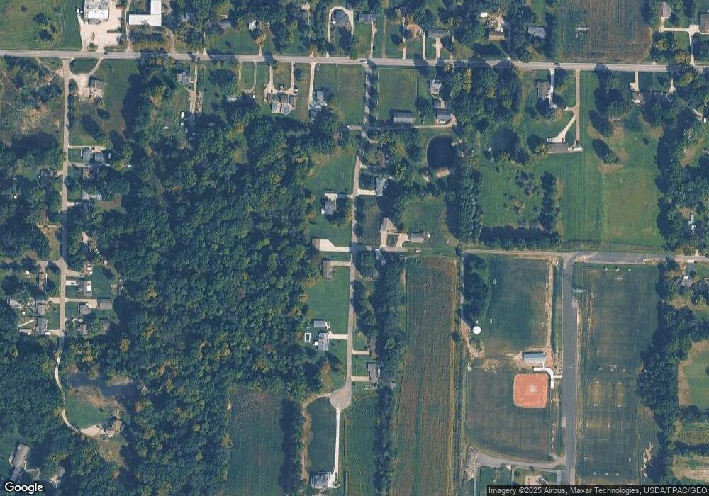
Map
Nearby Homes
- 4200 Hattrick Rd
- 4225 Hattrick Rd
- 4079 Siefer Dr
- 3689 Cherry Hill
- 3701 State Route 44
- 0 Lynn Rd Unit 5110102
- 0 Tallmadge Rd Unit 5189301
- 0 Tallmadge Rd Unit 5189314
- 4415 Farmette Dr
- 4691 Scenic Dr
- V/L 2 Lynn Rd
- V/L Lynn Rd
- sub lot Lane Ave
- 4087 Industry
- 3637 Old Forge Rd
- 3021 Hartville Rd
- 4556 Rootstown Rd
- 4058 Bayberry Knoll Ln
- 4958 Bassett Rd
- 4140 Sandy Lake Rd
- 4705 Case Ave
- 4704 Case Ave
- 4714 Case Ave
- 3953 Vaughn Ave
- 3965 Vaughn Ave
- 3975 Vaughn Ave
- 4648 Tallmadge Rd
- 3987 Vaughn Ave
- 4734 Case Ave
- 4680 Tallmadge Rd
- 4730 Tallmadge Rd
- 4720 Tallmadge Rd
- 3954 Vaughn Ave
- 3966 Vaughn Ave
- 4708 Tallmadge Rd
- 3976 Vaughn Ave
- 4628 Tallmadge Rd
- 3988 Vaughn Ave
- 4754 Case Ave
- V/L Case Ave
Your Personal Tour Guide
Ask me questions while you tour the home.