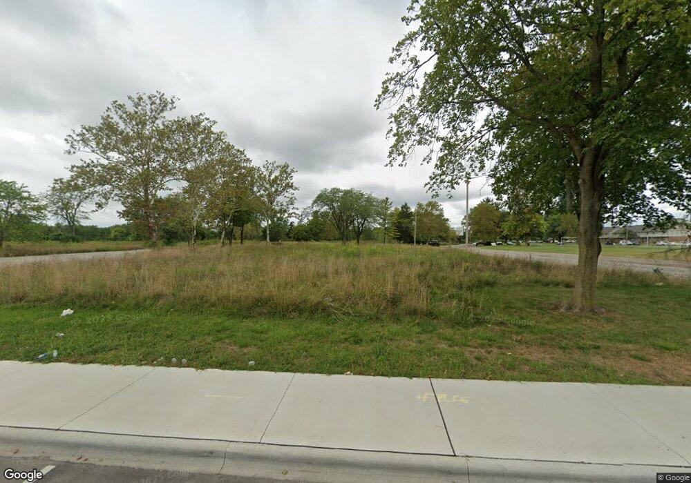
4436 Westport Rd Columbus, OH 43228
Estimated Value: $181,000 - $1,147,226
--
Bed
--
Bath
46,236
Sq Ft
$12/Sq Ft
Est. Value
About This Home
This home is located at 4436 Westport Rd, Columbus, OH 43228 and is currently estimated at $570,075, approximately $12 per square foot. 4436 Westport Rd is a home located in Franklin County with nearby schools including Stiles Elementary School, Galloway Ridge Intermediate School, and Norton Middle School.
Ownership History
Date
Name
Owned For
Owner Type
Purchase Details
Closed on
Jan 10, 2020
Sold by
Central Ohio Community Improvement Corp
Bought by
First Global Investment Llc
Current Estimated Value
Purchase Details
Closed on
May 4, 2017
Sold by
The Wingates Llc
Bought by
Central Ohio Community Improvement Corp
Purchase Details
Closed on
May 25, 2005
Sold by
Lincoln Park West 96 Lp
Bought by
Wingates Llc
Purchase Details
Closed on
Sep 14, 1984
Bought by
Provident-Lpw 8-2
Purchase Details
Closed on
Sep 1, 1984
Create a Home Valuation Report for This Property
The Home Valuation Report is an in-depth analysis detailing your home's value as well as a comparison with similar homes in the area
Home Values in the Area
Average Home Value in this Area
Purchase History
| Date | Buyer | Sale Price | Title Company |
|---|---|---|---|
| First Global Investment Llc | -- | Hummel Title Agency Inc | |
| Central Ohio Community Improvement Corp | -- | None Available | |
| Wingates Llc | $6,800,000 | Title First | |
| Provident-Lpw 8-2 | $5,200,000 | -- | |
| -- | -- | -- |
Source: Public Records
Tax History Compared to Growth
Tax History
| Year | Tax Paid | Tax Assessment Tax Assessment Total Assessment is a certain percentage of the fair market value that is determined by local assessors to be the total taxable value of land and additions on the property. | Land | Improvement |
|---|---|---|---|---|
| 2024 | $34,982 | $357,040 | $357,040 | -- |
| 2023 | $14,574 | $331,065 | $331,065 | $0 |
| 2022 | $17,984 | $190,370 | $190,370 | $0 |
| 2021 | $12,117 | $190,370 | $190,370 | $0 |
| 2020 | $0 | $190,370 | $190,370 | $0 |
| 2019 | $10,164 | $165,520 | $165,520 | $0 |
| 2018 | $10,164 | $165,520 | $165,520 | $0 |
| 2017 | $0 | $165,520 | $165,520 | $0 |
| 2016 | $651,961 | $209,480 | $165,550 | $43,930 |
| 2015 | $20,327 | $209,480 | $165,550 | $43,930 |
| 2014 | $100,984 | $223,440 | $165,550 | $57,890 |
| 2013 | $50,507 | $1,050,000 | $165,550 | $884,450 |
Source: Public Records
Map
Nearby Homes
- 488 Lombard Rd
- 4670 Frost Ave
- 441 Industrial Mile Rd
- 415 S Murray Hill Rd
- 4778 Hafey Ave
- 4795 Hafey Ave
- 4629 Arnold Ave
- 285 S Murray Hill Rd
- 494 Redmond Rd
- 4736 Arnold Ave
- 673 Roth Ave
- 829 Crevis Ln
- 653 Cherry Ridge Rd Unit G
- 5006 Old Tree Ave
- 144 Woodlawn Ave
- 797 Cottrell Dr
- 354 Fernhill Ave
- 711 Cherry Hollow Rd Unit A
- 644 Georgian Dr
- 699 Cherry Hollow Rd Unit A
