HWY 91 S Hwy 91 Tbd Dillon, MT 59725
--
Bed
--
Bath
--
Sq Ft
66.77
Acres
About This Home
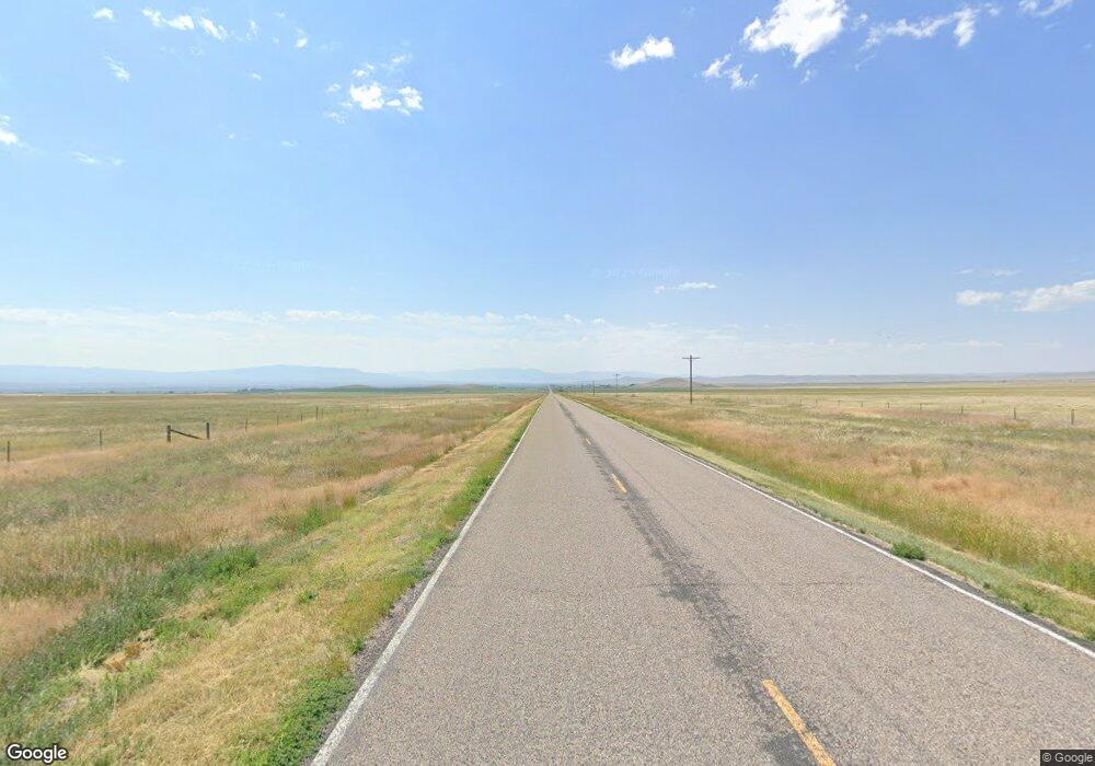
This home is located at HWY 91 S Hwy 91 Tbd, Dillon, MT 59725. HWY 91 S Hwy 91 Tbd is a home located in Beaverhead County with nearby schools including Parkview School, Dillon Middle School, and Beaverhead Co High School.
Ownership History
Date
Name
Owned For
Owner Type
Purchase Details
Closed on
Aug 13, 2025
Sold by
Driskill Leslie and Driskill Holly
Bought by
Jones Braden Chris
Home Financials for this Owner
Home Financials are based on the most recent Mortgage that was taken out on this home.
Original Mortgage
$172,000
Outstanding Balance
$165,281
Interest Rate
6.67%
Mortgage Type
Seller Take Back
Purchase Details
Closed on
May 27, 2025
Sold by
Driskill Les and Driskill Leslie
Bought by
Driskill Leslie and Driskill Holly
Purchase Details
Closed on
Apr 8, 2022
Sold by
Mcdonald Lee
Bought by
Driskill Les and Driskill Holly
Create a Home Valuation Report for This Property
The Home Valuation Report is an in-depth analysis detailing your home's value as well as a comparison with similar homes in the area
Home Values in the Area
Average Home Value in this Area
Purchase History
| Date | Buyer | Sale Price | Title Company |
|---|---|---|---|
| Jones Braden Chris | -- | Flying S Title And Escrow | |
| Driskill Leslie | -- | Flying S Title And Escrow | |
| Driskill Leslie | -- | Flying S Title And Escrow | |
| Driskill Les | -- | -- |
Source: Public Records
Mortgage History
| Date | Status | Borrower | Loan Amount |
|---|---|---|---|
| Open | Jones Braden Chris | $172,000 |
Source: Public Records
Tax History Compared to Growth
Tax History
| Year | Tax Paid | Tax Assessment Tax Assessment Total Assessment is a certain percentage of the fair market value that is determined by local assessors to be the total taxable value of land and additions on the property. | Land | Improvement |
|---|---|---|---|---|
| 2025 | $305 | $3,269 | $0 | $0 |
| 2024 | $257 | $2,963 | $0 | $0 |
| 2023 | $263 | $2,963 | $0 | $0 |
| 2022 | $321 | $2,978 | $0 | $0 |
| 2021 | $267 | $2,978 | $0 | $0 |
| 2020 | $310 | $2,771 | $0 | $0 |
| 2019 | $306 | $2,771 | $0 | $0 |
| 2018 | $299 | $2,589 | $0 | $0 |
| 2017 | -- | $2,589 | $0 | $0 |
| 2016 | $255 | $2,396 | $0 | $0 |
| 2015 | -- | $2,396 | $0 | $0 |
| 2014 | -- | $3,109 | $0 | $0 |
Source: Public Records
Map
Nearby Homes
- TBD Sunset W
- 6325 Highway 91 S
- 1548 Mt Highway 278
- 880 Chreston Ln
- 1245 Bon Accord Rd
- 3919 Blacktail Rd
- Lot 4 Axes Canyon Estates
- Lot 1 Axes Canyon Estates
- Lot 2 Axes Canyon Estates
- TBD Blacktail Rd
- 606 S Arizona St
- 805 E Orr St
- 830 E Morse St
- 407 S Rife St
- 323 E Morse St
- 325 S Railroad Ave
- 305 S Railroad Ave
- 408 W Reeder St
- 31 N Dakota St
- 35 E Bannack St