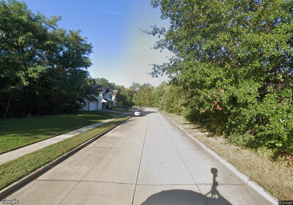
L 202 Paw Print Ln Columbia, MO 65202
Estimated Value: $264,000 - $282,000
3
Beds
3
Baths
1,546
Sq Ft
$178/Sq Ft
Est. Value
About This Home
This home is located at L 202 Paw Print Ln, Columbia, MO 65202 and is currently estimated at $275,012, approximately $177 per square foot. L 202 Paw Print Ln is a home located in Boone County with nearby schools including Blue Ridge Elementary School, Oakland Middle School, and Rock Bridge High School.
Ownership History
Date
Name
Owned For
Owner Type
Purchase Details
Closed on
Sep 15, 2017
Sold by
Gurney Cynthia A and Dehn Ricky J
Bought by
Ing Naw and Mun Mun
Current Estimated Value
Home Financials for this Owner
Home Financials are based on the most recent Mortgage that was taken out on this home.
Original Mortgage
$143,355
Outstanding Balance
$118,402
Interest Rate
3.5%
Mortgage Type
FHA
Estimated Equity
$156,610
Purchase Details
Closed on
Sep 18, 2015
Sold by
P & S Development Group Llc
Bought by
Gurney Cynthia A and Dehn Ricky J
Home Financials for this Owner
Home Financials are based on the most recent Mortgage that was taken out on this home.
Original Mortgage
$107,600
Interest Rate
3.62%
Mortgage Type
Adjustable Rate Mortgage/ARM
Create a Home Valuation Report for This Property
The Home Valuation Report is an in-depth analysis detailing your home's value as well as a comparison with similar homes in the area
Home Values in the Area
Average Home Value in this Area
Purchase History
| Date | Buyer | Sale Price | Title Company |
|---|---|---|---|
| Ing Naw | -- | Boone Central Title Co | |
| Gurney Cynthia A | -- | Boone Central Title Co |
Source: Public Records
Mortgage History
| Date | Status | Borrower | Loan Amount |
|---|---|---|---|
| Open | Ing Naw | $143,355 | |
| Previous Owner | Gurney Cynthia A | $107,600 |
Source: Public Records
Tax History Compared to Growth
Tax History
| Year | Tax Paid | Tax Assessment Tax Assessment Total Assessment is a certain percentage of the fair market value that is determined by local assessors to be the total taxable value of land and additions on the property. | Land | Improvement |
|---|---|---|---|---|
| 2025 | $1,887 | $32,015 | $5,700 | $26,315 |
| 2024 | $1,887 | $27,968 | $5,700 | $22,268 |
| 2023 | $1,871 | $27,968 | $5,700 | $22,268 |
| 2022 | $1,797 | $26,885 | $5,700 | $21,185 |
| 2021 | $1,800 | $26,885 | $5,700 | $21,185 |
| 2020 | $1,916 | $26,885 | $5,700 | $21,185 |
| 2019 | $1,916 | $26,885 | $5,700 | $21,185 |
| 2018 | $1,929 | $0 | $0 | $0 |
| 2017 | $1,906 | $26,885 | $5,700 | $21,185 |
| 2016 | $1,956 | $26,885 | $5,700 | $21,185 |
| 2015 | $1,805 | $26,885 | $5,700 | $21,185 |
| 2014 | -- | $26,885 | $5,700 | $21,185 |
Source: Public Records
Map
Nearby Homes
- 2304 Grizzly Ct
- 2203 Grizzly Ct
- 2600 E Oakland Ridge Dr
- 2600 Oakfield Dr
- 2607 Mcclure Dr
- 2301 Barnett Dr
- 1912 Lovejoy Ln
- 3001 Brown Station Rd
- 1809 Blue Ridge Rd
- 0 Paris Rd
- 3901 Bragg Ct
- 0 Vandiver Dr
- 3905 Bragg Ct
- 3913 Bragg Ct
- 1709 Blue Ridge Rd
- 3917 Bragg Ct
- 3921 Bragg Ct
- 2501 Nest Ct
- 2505 Nest Ct
- 2808 Pine Dr
- 2306 Paw Print Ln
- 2308 Paw Print Ln
- L 204 Paw Print Ln
- 2302 Paw Print Ln
- 2303 Grizzly Ct
- 2305 Grizzly Ct
- LOT 203 Paw Print Ln
- L 203 Paw Print Ln
- 2301 Grizzly Ct
- 2307 Grizzly Ct
- 2211 Grizzly Ct
- 2212 Paw Print Ln
- 3004 N Oakland Gravel Rd
- L 2 Oakland Gravel
- L 117 Grizzly Ct
- L 116 Grizzly Ct
- L 104 Grizzly Ct
- Lot 103 Grizzly Ct
- 3010 Oakland Gravel Rd
- 3006 N Oakland Gravel Rd
