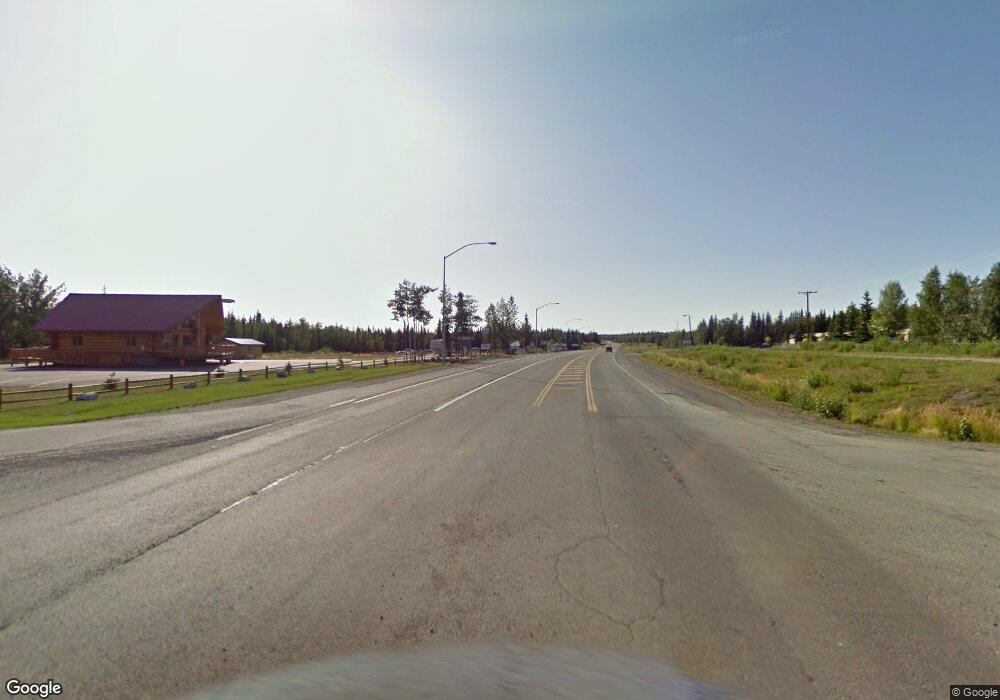
L1C No Name Sterling, AK
Estimated Value: $98,000 - $139,016
Studio
--
Bath
1,171
Sq Ft
$101/Sq Ft
Est. Value
About This Home
This home is located at L1C No Name, Sterling, AK and is currently estimated at $118,508, approximately $101 per square foot. L1C No Name is a home located in Kenai Peninsula Borough with nearby schools including Sterling Elementary School and Soldotna High School.
Ownership History
Date
Name
Owned For
Owner Type
Purchase Details
Closed on
May 9, 2024
Sold by
Mercer Joe D and Mercer Michelle F
Bought by
Daily Joshua James
Current Estimated Value
Purchase Details
Closed on
Aug 27, 2021
Sold by
Dean Mercer Jerry
Bought by
Mercer Joe Dean
Purchase Details
Closed on
Aug 12, 2005
Sold by
Hall Kevin D and Hall Denise K
Bought by
Mercer Joe D and Mercer Michelle F
Home Financials for this Owner
Home Financials are based on the most recent Mortgage that was taken out on this home.
Original Mortgage
$12,325
Interest Rate
5.56%
Mortgage Type
Seller Take Back
Create a Home Valuation Report for This Property
The Home Valuation Report is an in-depth analysis detailing your home's value as well as a comparison with similar homes in the area
Home Values in the Area
Average Home Value in this Area
Purchase History
| Date | Buyer | Sale Price | Title Company |
|---|---|---|---|
| Daily Joshua James | -- | First American Title | |
| Mercer Joe Dean | -- | None Listed On Document | |
| Mercer Joe D | -- | -- |
Source: Public Records
Mortgage History
| Date | Status | Borrower | Loan Amount |
|---|---|---|---|
| Previous Owner | Mercer Joe D | $12,325 |
Source: Public Records
Tax History
| Year | Tax Paid | Tax Assessment Tax Assessment Total Assessment is a certain percentage of the fair market value that is determined by local assessors to be the total taxable value of land and additions on the property. | Land | Improvement |
|---|---|---|---|---|
| 2025 | $409 | $91,100 | $32,100 | $59,000 |
| 2024 | $409 | $45,900 | $37,400 | $8,500 |
| 2023 | $354 | $39,700 | $31,200 | $8,500 |
| 2022 | $323 | $36,900 | $28,400 | $8,500 |
| 2021 | $295 | $33,900 | $25,400 | $8,500 |
| 2020 | $304 | $33,900 | $25,400 | $8,500 |
| 2019 | $295 | $32,900 | $25,400 | $7,500 |
| 2018 | $295 | $32,900 | $25,400 | $7,500 |
| 2017 | $357 | $41,900 | $34,400 | $7,500 |
| 2016 | $301 | $34,900 | $27,400 | $7,500 |
| 2015 | $284 | $32,600 | $25,100 | $7,500 |
| 2014 | $284 | $32,600 | $25,100 | $7,500 |
Source: Public Records
Map
Nearby Homes
- 0001 Line Ave
- 29373 Canoe Ave E
- 36089 Feuding Ln
- Lot 1 Bent Rod Ct
- Lot 3 Bent Rod Ct
- Lot 5 Bent Rod Ct
- 32395 Ruth Ln
- 35191 Kaltag Loop
- 34340 Fishermans Rd
- 38951 Otter Trail Rd
- L1-B Killey River Private Sites
- L2 B2
- 001 Ansel St
- 000 Ansel St
- L13 New Don St
- 36916 York Dr
- 37325 Funny Moose Ln
- 34775 Sterling Hwy
- 34638 Steele Rd
- L15 Moosetadon Dr
Your Personal Tour Guide
Ask me questions while you tour the home.
