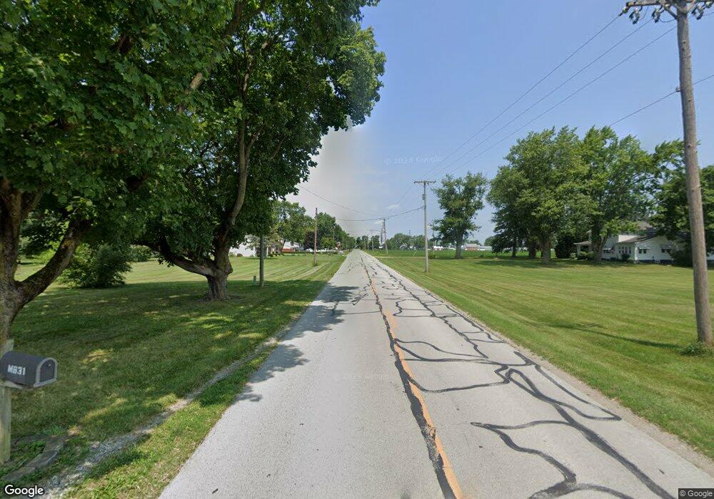
L678 County Road 17d Napoleon, OH 43545
Estimated Value: $210,000 - $722,777
3
Beds
1
Bath
2,016
Sq Ft
$200/Sq Ft
Est. Value
About This Home
This home is located at L678 County Road 17d, Napoleon, OH 43545 and is currently estimated at $403,926, approximately $200 per square foot. L678 County Road 17d is a home located in Henry County with nearby schools including Napoleon Elementary School and Napoleon Junior/Senior High School.
Ownership History
Date
Name
Owned For
Owner Type
Purchase Details
Closed on
Jun 29, 2023
Sold by
Helmke Glenna M
Bought by
Helmke Kennith W
Current Estimated Value
Create a Home Valuation Report for This Property
The Home Valuation Report is an in-depth analysis detailing your home's value as well as a comparison with similar homes in the area
Home Values in the Area
Average Home Value in this Area
Purchase History
| Date | Buyer | Sale Price | Title Company |
|---|---|---|---|
| Helmke Kennith W | -- | None Listed On Document |
Source: Public Records
Tax History Compared to Growth
Tax History
| Year | Tax Paid | Tax Assessment Tax Assessment Total Assessment is a certain percentage of the fair market value that is determined by local assessors to be the total taxable value of land and additions on the property. | Land | Improvement |
|---|---|---|---|---|
| 2024 | $4,870 | $265,170 | $222,530 | $42,640 |
| 2023 | $4,870 | $265,170 | $222,530 | $42,640 |
| 2022 | $3,281 | $159,680 | $92,160 | $67,520 |
| 2021 | $3,280 | $224,810 | $191,050 | $33,760 |
| 2020 | $3,448 | $224,810 | $191,050 | $33,760 |
| 2019 | $4,578 | $220,730 | $190,040 | $30,690 |
| 2018 | $4,644 | $101,390 | $70,700 | $30,690 |
| 2017 | $4,477 | $101,390 | $70,700 | $30,690 |
| 2016 | $5,547 | $120,750 | $91,430 | $29,320 |
| 2015 | $5,452 | $120,700 | $91,380 | $29,320 |
| 2014 | $3,388 | $120,520 | $91,100 | $29,420 |
| 2013 | $3,388 | $72,610 | $43,190 | $29,420 |
Source: Public Records
Map
Nearby Homes
- 212 E High St
- 405 W High St
- 16052 State Route 424
- 75 Capri Dr
- 6767 Independence Rd
- 43 Oak Dr
- 29232 Coressel Rd
- 00 County Road 14
- H011 County Road 17
- 0 Westmoreland Ave
- 00 Westmoreland Ave
- 1374 Clairmont Ave
- 1113 Clairmont Ave
- 1314 Clairmont Ave
- 900 Welsted St
- 1214 Clairmont Ave
- 707 Park St
- 1354 Clairmont Ave
- 948 Dagget Dr
- 725 Sheffield Ave
- L688 County Road 17d
- 17611 County Road M
- L621 County Road 17d
- 17646 County Road M
- 17581 County Road M
- L873 County Road 17c
- L532 County Road 17c
- 18113 County Road L1
- 17441 County Road M
- 17462 County Road M
- M211 County Road 17c
- M104 County Road 17c
- 18403 County Road L1 Unit 2
- L085 County Road 17c
- 18474 County Road L1
- 18474 County Road L1
- 18458 County Road M
- 18571 County Road L1
- 306 Michaelis Dr
- 0 Michaelis Dr Unit 5016049
