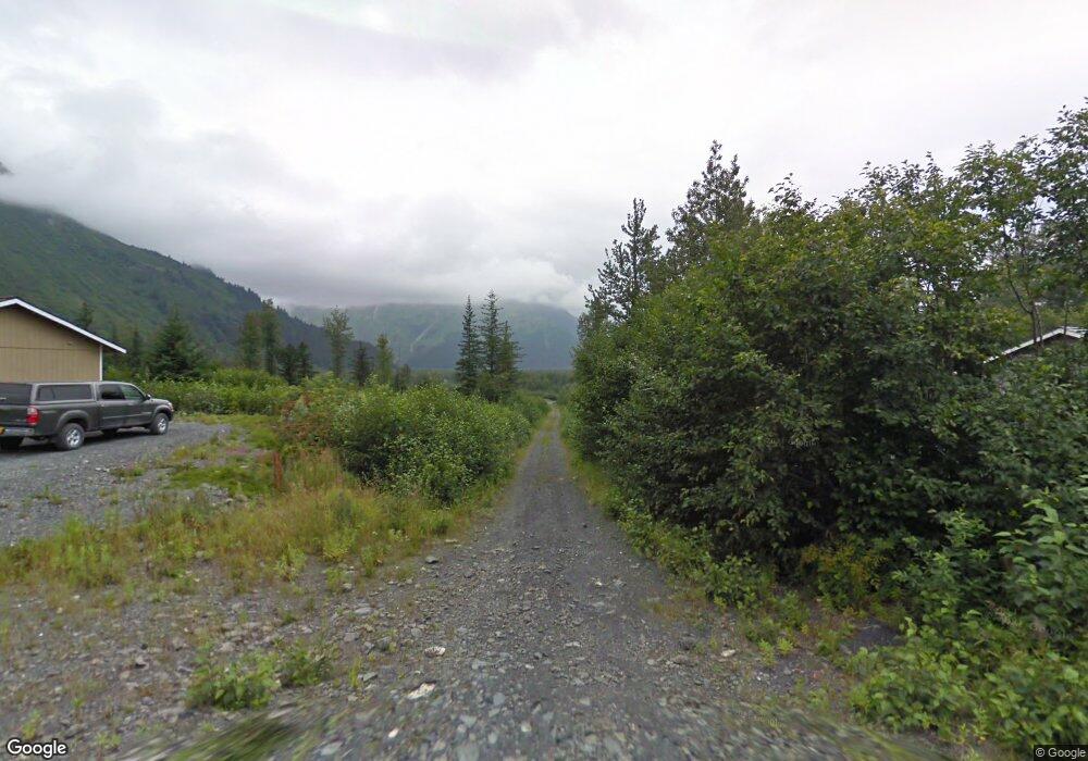
LCV Pine & Ash Seward, AK
Estimated Value: $558,235 - $633,000
4
Beds
2
Baths
2,044
Sq Ft
$291/Sq Ft
Est. Value
About This Home
This home is located at LCV Pine & Ash, Seward, AK and is currently estimated at $595,618, approximately $291 per square foot. LCV Pine & Ash is a home located in Kenai Peninsula Borough with nearby schools including William H. Seward Elementary School and Seward High School.
Ownership History
Date
Name
Owned For
Owner Type
Purchase Details
Closed on
May 17, 2010
Sold by
Bell John W
Bought by
Ray Brian Joseph and Ray Leigh Ellen
Current Estimated Value
Home Financials for this Owner
Home Financials are based on the most recent Mortgage that was taken out on this home.
Original Mortgage
$33,000
Interest Rate
5.21%
Mortgage Type
Purchase Money Mortgage
Create a Home Valuation Report for This Property
The Home Valuation Report is an in-depth analysis detailing your home's value as well as a comparison with similar homes in the area
Home Values in the Area
Average Home Value in this Area
Purchase History
| Date | Buyer | Sale Price | Title Company |
|---|---|---|---|
| Ray Brian Joseph | -- | First American Title Ins Co |
Source: Public Records
Mortgage History
| Date | Status | Borrower | Loan Amount |
|---|---|---|---|
| Closed | Ray Brian Joseph | $33,000 |
Source: Public Records
Tax History Compared to Growth
Tax History
| Year | Tax Paid | Tax Assessment Tax Assessment Total Assessment is a certain percentage of the fair market value that is determined by local assessors to be the total taxable value of land and additions on the property. | Land | Improvement |
|---|---|---|---|---|
| 2025 | $3,968 | $480,600 | $103,000 | $377,600 |
| 2024 | $3,968 | $463,100 | $101,000 | $362,100 |
| 2023 | $3,940 | $460,100 | $82,100 | $378,000 |
| 2022 | $3,853 | $452,700 | $74,600 | $378,100 |
| 2021 | $3,243 | $415,900 | $55,800 | $360,100 |
| 2020 | $3,551 | $411,600 | $55,800 | $355,800 |
| 2019 | $1,665 | $387,700 | $51,300 | $336,400 |
| 2018 | $3,243 | $378,400 | $44,600 | $333,800 |
| 2017 | $2,611 | $343,300 | $44,600 | $298,700 |
| 2016 | $2,279 | $303,700 | $44,600 | $259,100 |
| 2015 | $362 | $307,100 | $44,600 | $262,500 |
| 2014 | $362 | $280,200 | $44,600 | $235,600 |
Source: Public Records
Map
Nearby Homes
- 2415 Afognak Ave
- 2417 Maple St
- 2403 Maple St
- 2503 Cedar St
- 2600 Birch St
- 2103 Olympia Rd
- 2002 Latouche Cir
- NHN Seward Hwy
- 104 Benson Dr
- 1902 Dora Way
- 211 Benson Dr
- 1807 Swetmann Ave Unit 7
- 1620 Phoenix Rd
- 1701 Phoenix Rd
- 110 Aialik St
- 711 4th Ave
- 607 First Ave
- L5A-3 Maximilian Dr
- 12153 Excaliber Way
- 514 First Ave