Lot 11 Laurel Ridge Dr Unit 11 Lincolnton, NC 28092
Estimated Value: $209,000 - $445,000
3
Beds
2
Baths
1,894
Sq Ft
$185/Sq Ft
Est. Value
About This Home
This home is located at Lot 11 Laurel Ridge Dr Unit 11, Lincolnton, NC 28092 and is currently estimated at $350,667, approximately $185 per square foot. Lot 11 Laurel Ridge Dr Unit 11 is a home located in Lincoln County with nearby schools including Norris S. Childers Elementary School, West Lincoln Middle, and West Lincoln High School.
Ownership History
Date
Name
Owned For
Owner Type
Purchase Details
Closed on
Jan 16, 2015
Sold by
Key Brian and Key Laura
Bought by
Wolfe Mark R and Wolfe Martha C
Current Estimated Value
Purchase Details
Closed on
Jun 26, 2014
Sold by
Smith Freddie and Smith Ann
Bought by
Key Brian and Key Laura
Purchase Details
Closed on
May 29, 2007
Sold by
Carolinas Country Llc
Bought by
Smith Freddie and Smith Ann
Create a Home Valuation Report for This Property
The Home Valuation Report is an in-depth analysis detailing your home's value as well as a comparison with similar homes in the area
Home Values in the Area
Average Home Value in this Area
Purchase History
| Date | Buyer | Sale Price | Title Company |
|---|---|---|---|
| Wolfe Mark R | $25,000 | None Available | |
| Key Brian | $15,000 | None Available | |
| Smith Freddie | $63,000 | None Available |
Source: Public Records
Tax History Compared to Growth
Tax History
| Year | Tax Paid | Tax Assessment Tax Assessment Total Assessment is a certain percentage of the fair market value that is determined by local assessors to be the total taxable value of land and additions on the property. | Land | Improvement |
|---|---|---|---|---|
| 2025 | $2,687 | $401,420 | $53,322 | $348,098 |
| 2024 | $2,667 | $401,420 | $53,322 | $348,098 |
| 2023 | $2,662 | $401,420 | $53,322 | $348,098 |
| 2022 | $2,021 | $252,648 | $37,214 | $215,434 |
| 2021 | $2,021 | $252,648 | $37,214 | $215,434 |
| 2020 | $1,856 | $252,648 | $37,214 | $215,434 |
| 2019 | $1,856 | $252,648 | $37,214 | $215,434 |
| 2018 | $1,695 | $217,388 | $32,810 | $184,578 |
| 2017 | $1,412 | $192,546 | $32,810 | $159,736 |
| 2016 | $1,412 | $192,546 | $32,810 | $159,736 |
| 2015 | $196 | $0 | $0 | $0 |
| 2014 | -- | $30,667 | $30,667 | $0 |
Source: Public Records
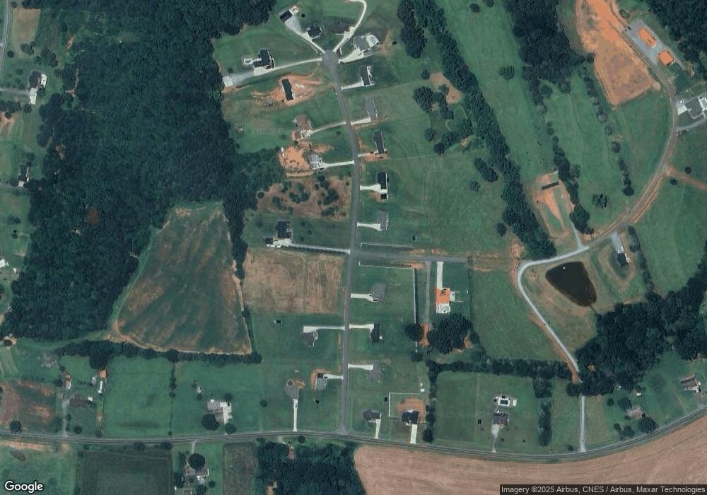
Map
Nearby Homes
- 142 Alf Hoover Rd
- 3300 Paul Heavner Ln
- 2508 Rock Dam Rd
- 3817 Spike Ln
- 000 Flag Ln Unit 53
- 1643 Flag Ln
- 1259 Haywood Ct
- 1551 J Rhyne Reep Rd
- 1000 Creekside Dr
- 938 Lyndsey Brook Ct
- 00 Pleasant Grove Church Rd
- 1084 Lyndsey Brook Ct
- 1074 Lyndsey Brook Ct
- 1865 Rockdam Creek Ct
- 2383 N Carolina 182
- 3637 Reepsville Rd
- 4318 Katie Reep Ln
- 1983 Seagletown Rd
- 963 Sunbeam Dr
- 3987 W Highway 27
- Lot 11 Laurel Ridge Dr
- 000 Laurel Ridge Dr Unit Lot 11
- 000 Laurel Ridge Dr
- 315 Laurel Ridge Dr
- 315 Laurel Ridge Dr Unit 9
- 270 Laurel Ridge Dr
- 348 Laurel Ridge Dr
- 303 Laurel Ridge Dr
- Lot 16 Laurel Ridge Dr
- 00 Laurel Ridge Dr Laurel Ridge Dr Unit 7
- 318 Laurel Ridge Dr
- 308 Laurel Ridge Dr
- 3341 Paul Heavner Ln
- 281 Laurel Ridge Dr
- 3289 Paul Heavner Ln
- 288 Laurel Ridge Dr
- Lot 15 Laurel Ridge Dr
- Lot #8 Laurel Ridge Dr
- Lot #5 Laurel Ridge Dr
- Lot #6 Laurel Ridge Dr