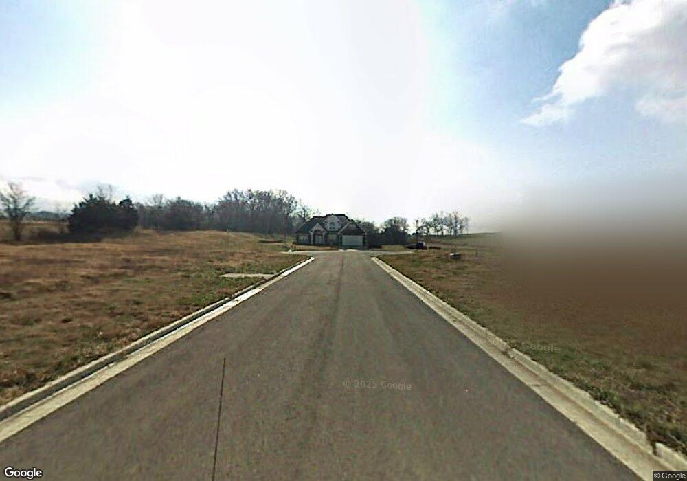
Lot 116 Spur Cir Prairie Grove, AR 72753
Estimated Value: $59,000 - $176,000
--
Bed
--
Bath
--
Sq Ft
--
Built
About This Home
This home is located at Lot 116 Spur Cir, Prairie Grove, AR 72753 and is currently estimated at $117,500. Lot 116 Spur Cir is a home located in Washington County with nearby schools including Prairie Grove Elementary School, Prairie Grove Middle School, and Prairie Grove Junior High School.
Ownership History
Date
Name
Owned For
Owner Type
Purchase Details
Closed on
Jan 8, 2021
Sold by
Stoneridge Developent Co Inc
Bought by
Clements Homes Inc
Current Estimated Value
Home Financials for this Owner
Home Financials are based on the most recent Mortgage that was taken out on this home.
Original Mortgage
$164,000
Interest Rate
2.71%
Mortgage Type
Construction
Purchase Details
Closed on
Feb 5, 2018
Sold by
Heritage Heights American Group Llc
Bought by
Stoneridge Development Co Inc
Home Financials for this Owner
Home Financials are based on the most recent Mortgage that was taken out on this home.
Interest Rate
4.22%
Purchase Details
Closed on
May 28, 2015
Bought by
Heritage Heights American Group Llc
Create a Home Valuation Report for This Property
The Home Valuation Report is an in-depth analysis detailing your home's value as well as a comparison with similar homes in the area
Home Values in the Area
Average Home Value in this Area
Purchase History
| Date | Buyer | Sale Price | Title Company |
|---|---|---|---|
| Clements Homes Inc | $39,900 | First National Title | |
| Stoneridge Development Co Inc | -- | -- | |
| Heritage Heights American Group Llc | $522,300 | -- |
Source: Public Records
Mortgage History
| Date | Status | Borrower | Loan Amount |
|---|---|---|---|
| Closed | Clements Homes Inc | $164,000 | |
| Previous Owner | Stoneridge Development Co Inc | -- |
Source: Public Records
Tax History Compared to Growth
Tax History
| Year | Tax Paid | Tax Assessment Tax Assessment Total Assessment is a certain percentage of the fair market value that is determined by local assessors to be the total taxable value of land and additions on the property. | Land | Improvement |
|---|---|---|---|---|
| 2025 | $399 | $8,000 | $8,000 | $0 |
| 2024 | $374 | $8,000 | $8,000 | $0 |
| 2023 | $356 | $8,000 | $8,000 | $0 |
| 2022 | $324 | $6,000 | $6,000 | $0 |
| 2021 | $324 | $6,000 | $6,000 | $0 |
| 2020 | $296 | $6,000 | $6,000 | $0 |
| 2019 | $272 | $5,000 | $5,000 | $0 |
| 2018 | $272 | $5,000 | $5,000 | $0 |
| 2017 | $135 | $2,500 | $2,500 | $0 |
| 2016 | $162 | $3,000 | $3,000 | $0 |
| 2015 | $162 | $3,000 | $3,000 | $0 |
| 2014 | $202 | $3,000 | $3,000 | $0 |
Source: Public Records
Map
Nearby Homes
- 1421 Colonel McNeil Dr
- 1380 Colonel Hawthorne Dr
- 1681 Cavalry Ln
- 1360 Colonel Bass Ln
- 1461 General Parson Dr
- 1280 General Parson Dr
- 611 Sundowner Ranch Ave
- 1321 General Marmaduke Dr
- 650 Marcella St
- 631 Marcella St
- 16543 U S Highway 62
- 511 Captain Stockton St
- 816 Spurgeon Ln
- 661 Kendra St
- 101 S Eagle Mountain St
- 150 N Eagle Mountain St
- 951 E Buchanan St
- 123 S Eagle Mountain St
- 113 S Eagle Mountain St
- 730 Marcella St
- 1120 Spur Cir
- 113 Spur Cir
- 112 Spur Cir
- 114 Spur Cir
- 116 Spur Cir
- 117 Spur Cir
- 118 Spur Cir
- 1101 Spur Cir
- 1601 Cavalry Ln
- 1141 Spur Cir
- 1161 Spur Cir
- 1121 Spur Cir
- 1611 Cavalry Ln
- 1621 Cavalry Ln
- Lot 154 Colonel Bartow Dr
- 1140 Infantry Ln
- 1600 Cavalry Ln
- 1631 Cavalry Ln
- 1120 Infantry Ln
- 1160 Infantry Ln
